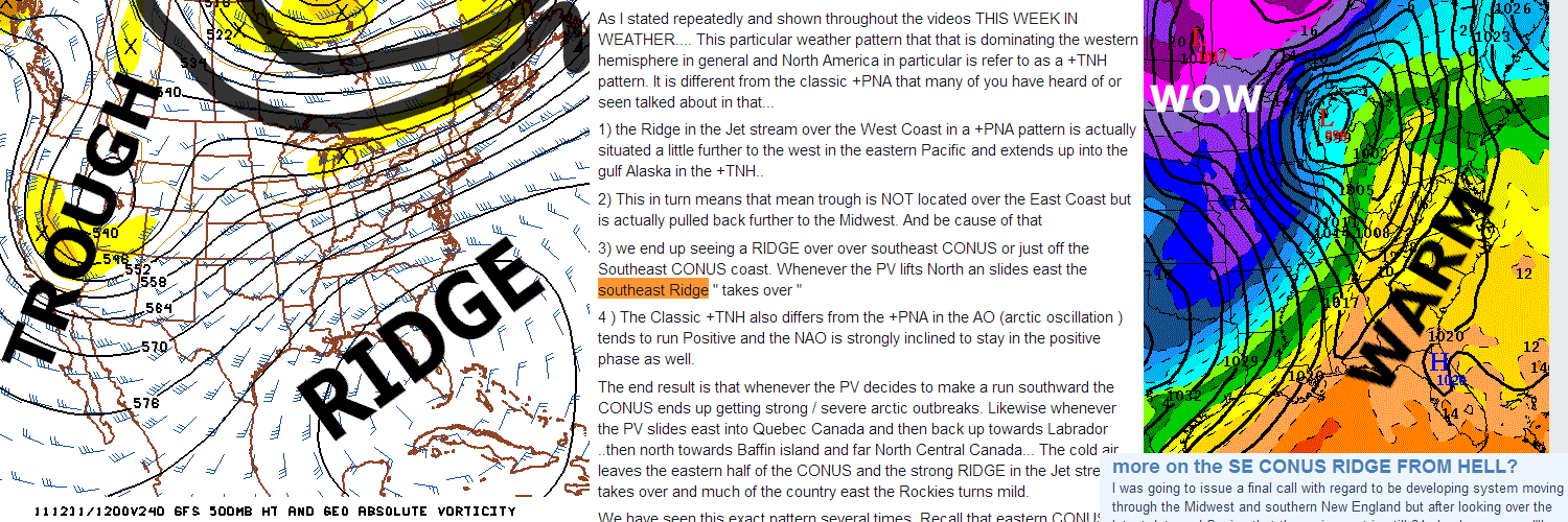
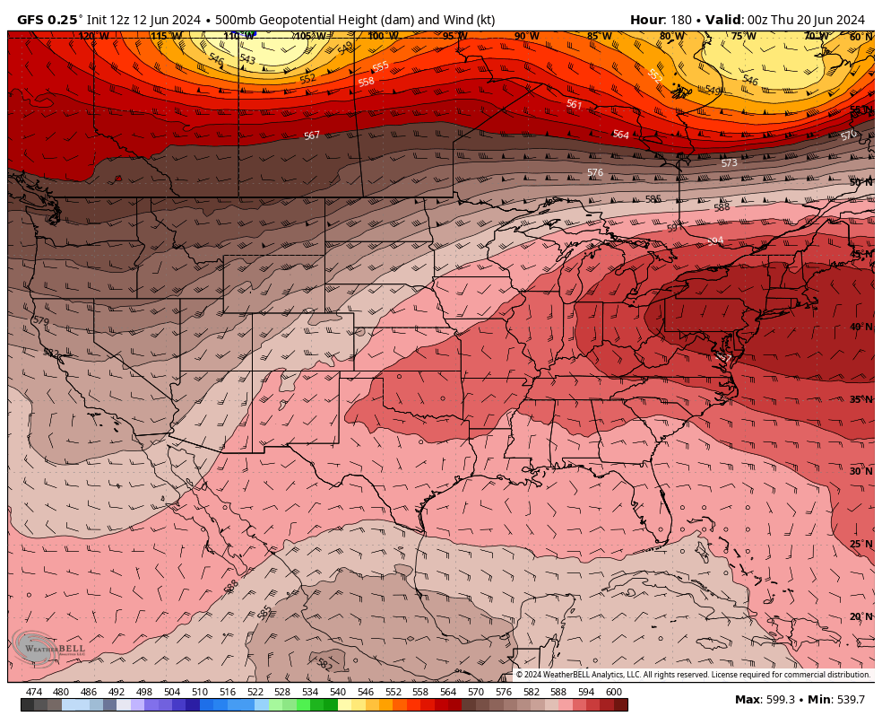
Truly just an awful pattern going forward into the first half of November. A ridge will dominate leaving us with low if any rain chances & warmer than average temperatures in the East.
Say what you want, but this will likely be what we deal with most of the Winter also. Fall severe season will probably just connect right to the 2025 Spring severe season with energy just continuously firing across the middle of the country.
I really don’t even get really bummed about it anymore because it just seems like our norm now. Maybe one day it’ll rain again.
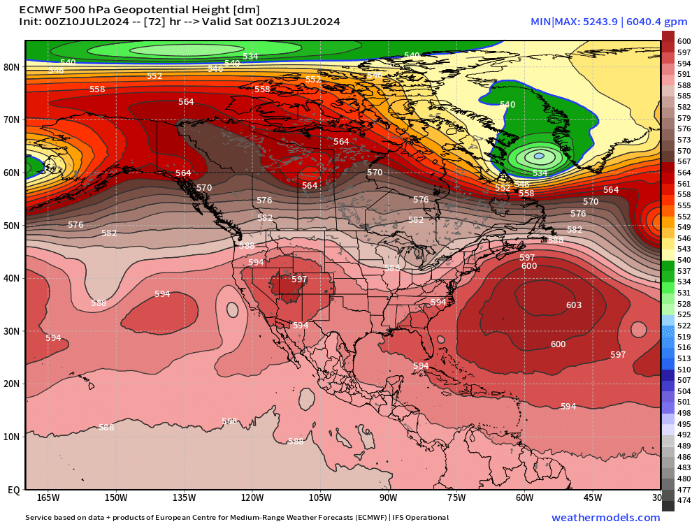
Any (good) explanations for this 6040 m ridge setting up shop off the East Coast into the weekend?
By far a record strong "heat dome" BUT over the ocean.
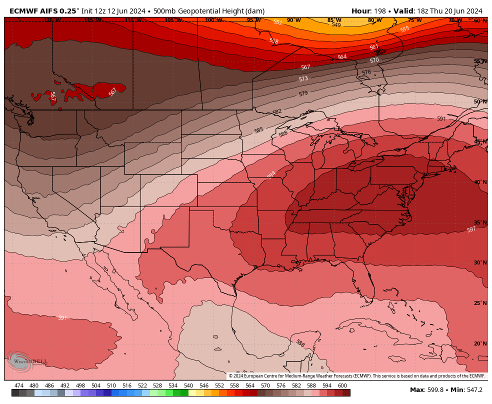
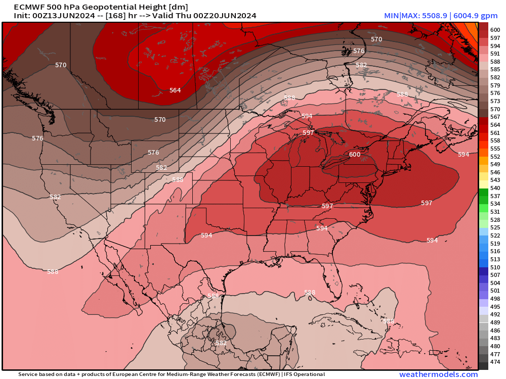
A "mega heat dome" is forecast to develop over the Mid-Atlantic and Northeast into next week.
The ridge will be at near historical intensity centered upon Pennsylvania w/500 mb heights > 6000 m
AIFS is only .2dm away from 600dm ridge. We'd certainly be looking at record high 500dm ridge near the area if AIFS, GFS-like ridge were to happen, very impressive stuff.