I've just explored the brand-new tidyplots package in R, and it’s impressive how effortlessly it enables you to create beautiful, publication-ready plots. Designed with scientific papers in mind, tidyplots lets you build, adjust, and refine plot components gradually, all with a consistent and intuitive syntax that takes the complexity out of visualization.
✔️ Simple Syntax: Tidyplots offers user-friendly functions for creating polished visuals with minimal coding, saving you time and effort.
✔️ Consistent Style: Achieve a cohesive look across all visuals, eliminating the need for repetitive adjustments.
✔️ Flexible Customization: Easily customize colors, labels, and themes to align with your project’s goals, resulting in professional and engaging data displays.
✔️ Enhanced Data Storytelling: Built for clarity, tidyplots helps you convey insights effectively, making your data stand out.
The example visualizations shown here were created by the package author, Jan Broder Engler, and are featured on the tidyplots website: https://t.co/fgIWzxFVZI
#rstats #dataviz #tidyverse
🚨New Paper Out🚨
This paper introduced a novel approach for environmental protection zoning and proposed a scalable methodological framework for multi-pressure based environmental vulnerability analysis.
Paper: https://t.co/MJL2zINnYj
📢 I am teaching an Introduction to GIS Programming course this semester! All course materials are freely available online. New video lectures will be uploaded twice a week. Check out the links below to learn #geospatial 🌍 data visualization and analysis using #opensource Python packages 📊
Website: https://t.co/2dK3d0n9Rz
GitHub: https://t.co/yBth77q1pC
YouTube playlist: https://t.co/9sbsl5SHNk
#geospatial #python #jupyter
Prediction, prediction, prediction...
But I actually prefer inference! Inference allows us to extract powerful insights from our data, and it's always the foundation for making accurate predictions.
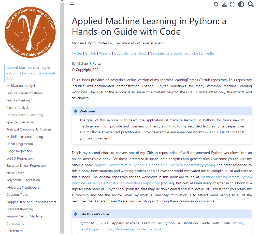
Feeling like my "Applied #MachineLearning in Python" e-book needed more emphasis on inference, I added new chapters on spectral clustering and multidimensional scaling yesterday. These updates include free, well-documented workflows, complete with data and code.
Check it out: https://t.co/kRPpZDexWa ∀. #DataScience
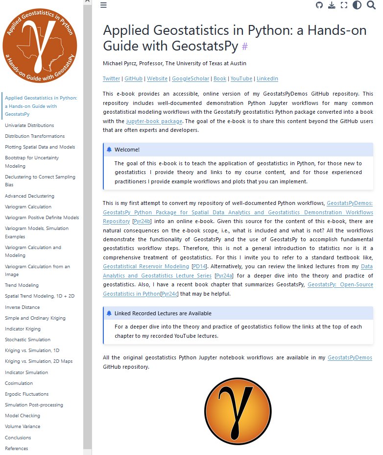
I just updated my free, online e-book 📘, "Applied Geostatistics in Python: A Hands-on Guide with GeostatsPy!"
The formatting is cleaner 🧹, and I’ve added more detailed descriptions 📝. I promised it would be a living document—and it’s alive! 🌱
Check it out here: https://t.co/ASx1kmKslt 🎉!
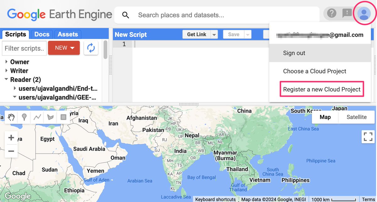
All #EarthEngine users recently got an email to link their account to a Google Cloud project. Google Cloud can be quite daunting for beginners, so we have compiled a simplified guide with FAQs to help you migrate your legacy GEE account to a cloud project. https://t.co/oOf5OD5EhZ
I really like this. I’m decent at Python but R is still the language I feel most comfortable with, so this made some concepts a little more crystallized for me via analogy to R. I think it’s a great resource for people who started with R
https://t.co/LIQiu8Jrt9
Get ready for a new era of Earth observation with Landsat Next! 🛰️
With 26 spectral bands and enhanced spatial resolution of 10-20 meters per pixel for visible and SWIR bands, #Landsat Next will help scientists study Earth in finer detail.
Learn more: https://t.co/x3zVKt11aU
I will be teaching a 3-hr training session as part of the AMS @ametsoc SatMOC Virtual Satellite Short Course on July 16, 2024.
Title: From Satellites to Solutions – Drought Monitoring with Google Earth Engine
Course info: https://t.co/zJpq1rtP2p
Registration: https://t.co/Jmy9OILwLN
#satellite #drought #geospatial #earthengine #cloudcomputing
ChatGPT but for maps.💡Here's a first look at our work on a Smart Mapping Assistant prototype that combines the power of GIS with generative AI. https://t.co/PVIPbyMxKG
#AIinMapping#GeospatialAI
Want to learn #Python for #Geospatial Analysis? We just launched our "Python Foundation for Spatial Analysis" course on YouTube - completely free and optimized for self-study. Check out the playlist at https://t.co/tHJ94mTFl1 (1/n)
We are making the videos for our course on data visualization with Google #EarthEngine available to everyone for self study. Access the complete playlist with ad-free videos at https://t.co/c9juGIFQZJ
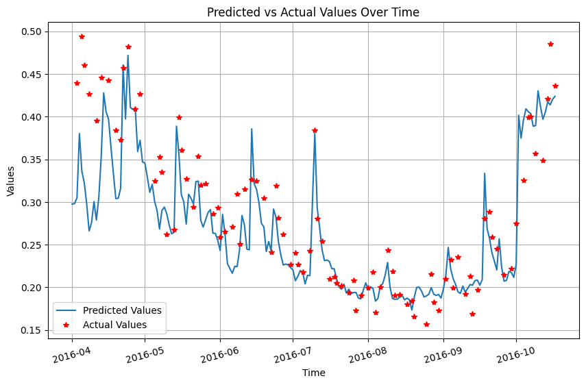
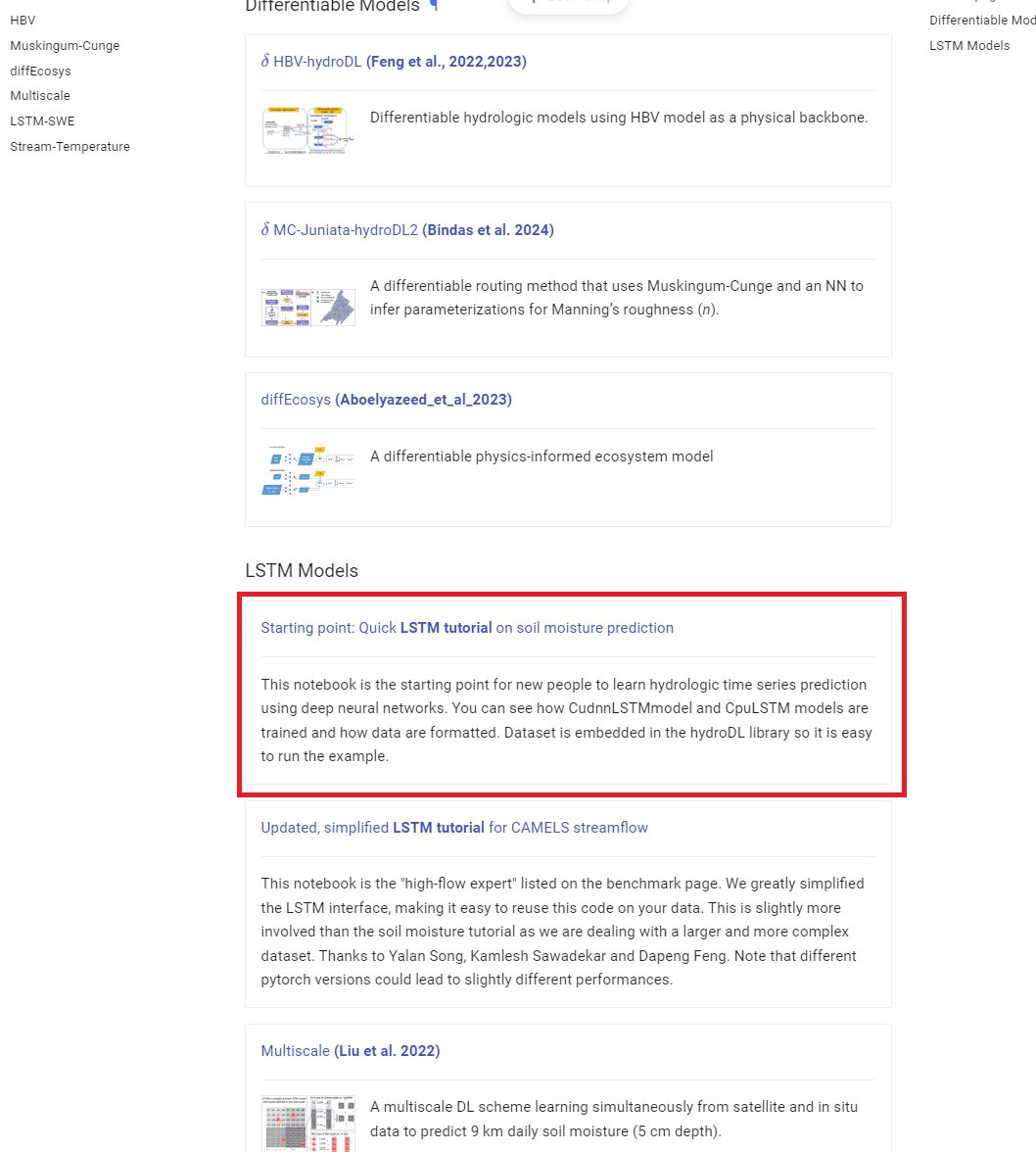
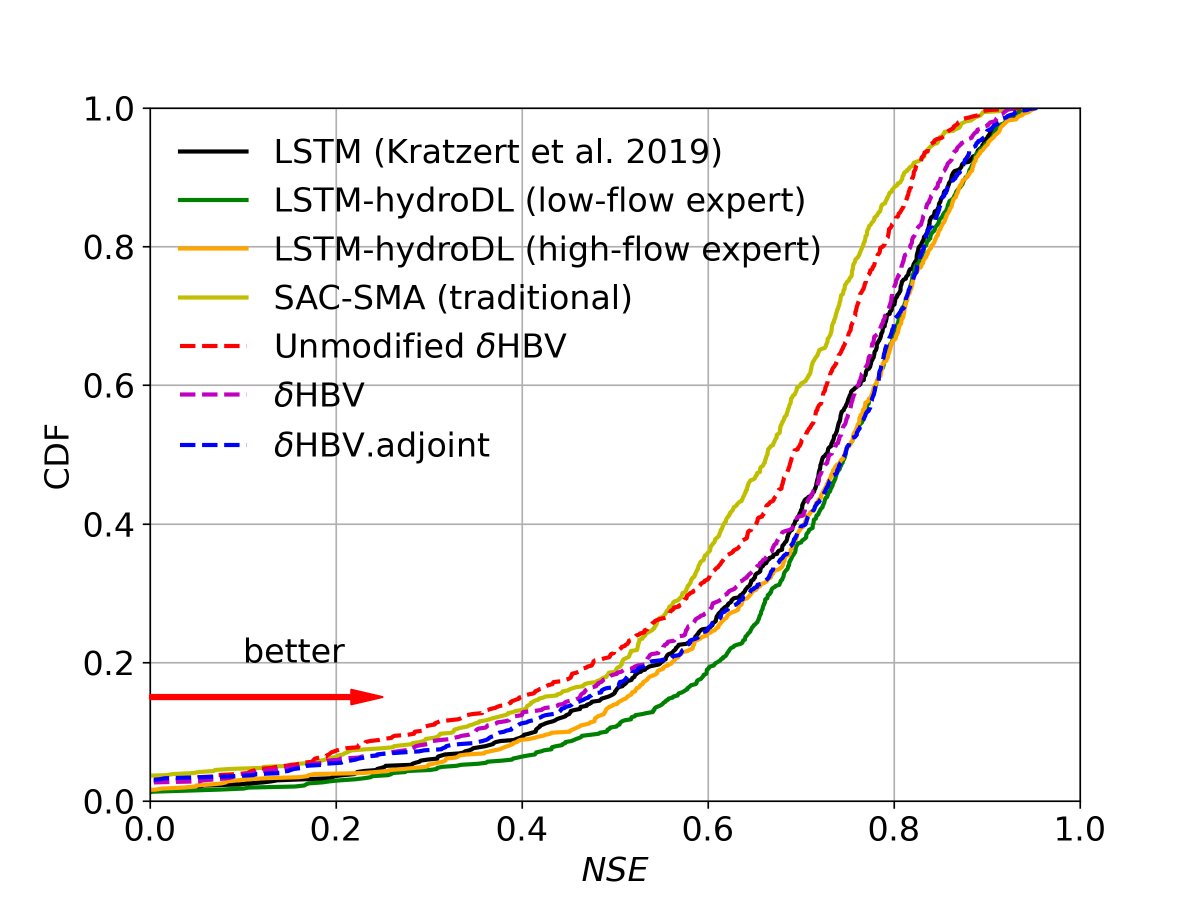
Review two tutorials. The first LSTM tutorial was taken out of our Fang et al., 2017 GRL paper and simplified. Except for the data loader, which takes x minutes to read, all other pieces should be very simple to understand.
https://t.co/uzOh2m3RD8
I am happy to launch my course "Google #EarthEngine for Water Resources Management" covering real-world applications of #GEE. For the first time - we are also releasing videos along with code for all the modules - completely free. Get started at https://t.co/8YrpqHMA7m (1/n)
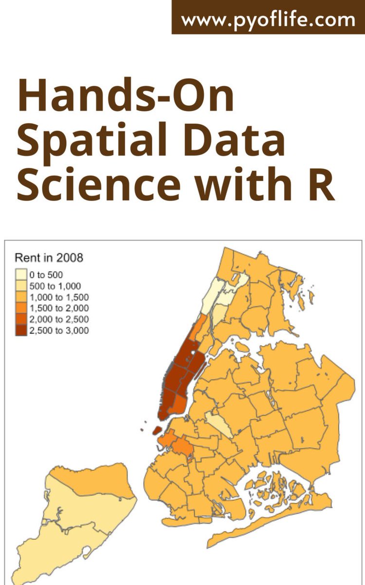
Another open source and open access book for the world. The more content like this the lower the barrier to access digital technologies, #DataScience + reproducible geographic research for good. #gischat#openaccess#geocompx