Amazing view of #Stromboli from space!
The intense effusive activity of the #volcano is captured by #Copernicus#Sentinel2 image on May 2026.
The lava flow (longer than 1 km) advancing along the Sciara del Fuoco and reaching the coastline is clearly visible. #Sicily#eruption
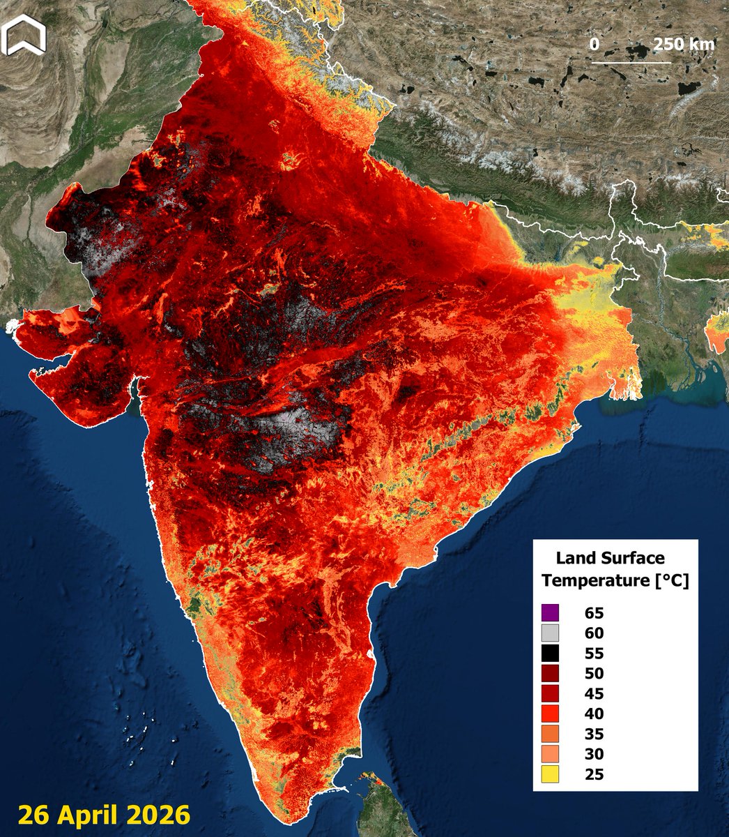
#Heatwave alert in #India!
Hit by a severe late April warm spell, the peninsula has been record-breaking temperatures in some cities.
The #Copernicus#Sentinel3 map on Apr. 26 shows Land (not air!) Surface Temperature reaching more than 60°C in multiple areas. #climateemergency
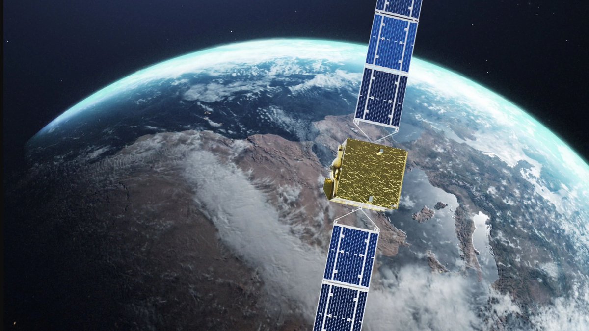
🛰️ 2nd EDA Space Defence Industry Workshop addressed how Europe can ensure space capabilities in a crowded environment. The discussions focused on the latest EU CDP “Space Services” and “Space Operations”, as well as their related implementation roadmaps.
#StrongerTogether
The last #March was the fourth warmest globally.
According to the @CopernicusECMWF Era5 Data the United State have experienced a well above average temperatures (up to +10°C), with a prolonged #heatwave in the western part of the country.
#climateemergency
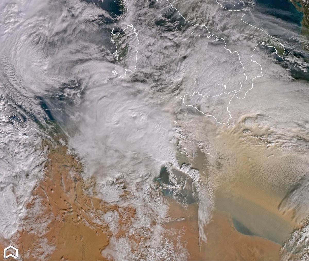
Stunning view of a storm #Samuel gradually transformed into extratropical #cyclone.
On March 18, #Copernicus#Sentinel3 captured this striking vortex off the African coast of #Lybia — a powerful reminder of the dynamic forces shaping our atmosphere.
#ClimateEmergency
🔴⚠️☠🛢🇦🇪Also EO satellites are witnessing the ongoing war in the #MiddleEast:Meteosat-12 shows the fire and smoke after an #Iran drone attack to #Fujairah,a strategic port and oil industry zone in #UAE⬇️Latest 12 hours with Geocolour & Fire Temp.RGBs via #Eumetview#war#OSINT
One month after the devastating #landslide that hit #Niscemi, #Copernicus#Sentinel2 shows a striking before and after comparison of the town in #Sicily following the severe weather that triggered the landslides, revealing the dramatic impact of the disaster.
#Sicilia
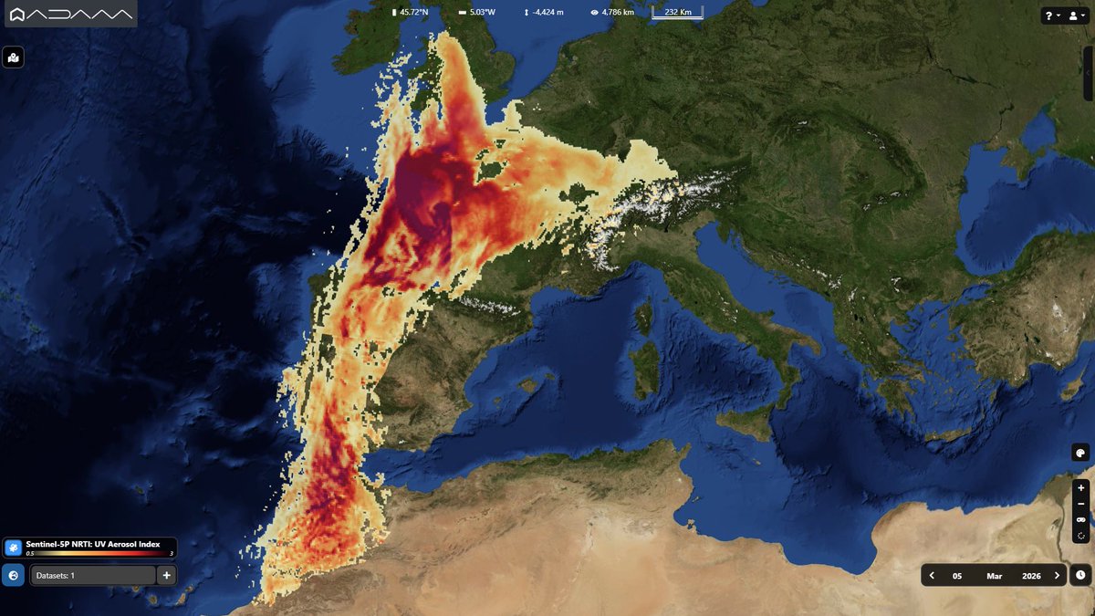
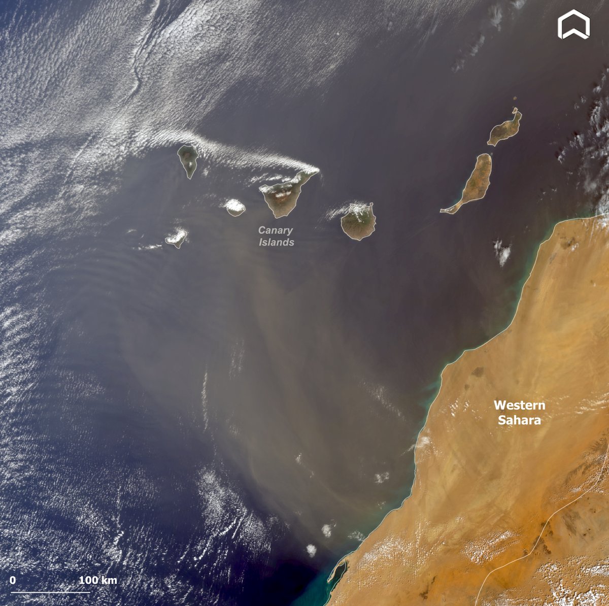
A high-load dust plume from #Africa moved eastward toward #Europe.
The transport was reinforced by the system’s dynamics and peaked on Feb. 15th, affecting parts of #Greece. The #Copernicus#Sentinel3 image shows the dust transport during the event.
#Airtransport#SaharanDust
#ERA5 data show January 2026 was wetter than average across much of west/south/east #Europe. Heavy rainfall caused flooding and major disruption in #Spain and #Portugal because of the cyclones, #Italy, west. Balkans & #Ireland. The map highlights the monthly anomaly. #Copernicus
#Mozambique is facing its worst #floods in decades. Nearly 700,000 people have been affected, over 100 are dead and many remain missing. Homes and critical infrastructure have been destroyed. The video shows #Copernicus#Sentinel2 before and after the #flood. #climateemergency
🌀 Winter storms have brought high winds, waves and torrential rainfall to parts of Europe this week.
Stay up to date with the severe weather in Europe and around the world by WMO’s Severe Weather Information Centre:
🔗 https://t.co/9AHjy2xxYo