I am excited to introduce OpenGeoAgent, a powerful open-source multimodal AI agent for automated geospatial analysis and visualization!
It supports QGIS, Jupyter notebook, and Python scripting. In this tutorial, you’ll learn how to automate GIS workflows using natural language, generate maps, analyze satellite data, and even run complex hydrological models.
You can even interact with the agent using voice commands (no typing needed).
Video: https://t.co/mJ0ort5dzb
GitHub: https://t.co/WgiWV1wGMS
QGIS Plugin: https://t.co/qNRP3WPJWe
#geospatial #GeoAgent #OpenSource #AI
L'Astuce Eurêkarto n°1 : Créer des étiquettes sur les espaces maritimes avec Adobe Illustrator
N'hésitez pas à vous abonner pour suivre toutes les prochaines astuces, et dites-nous lesquelles vous souhaitez voir dans un prochain n°!
#map#cartographie
The freestiler R / Python package has been around for a month now, and it's proving to be one of the most useful tools I've ever built.
Vector tiles are a must for high-performance visualization of large geospatial datasets, but creating vector tiles has long been tricky without specialized expertise.
freestiler simplifies this: tile directly from R / Python objects, DuckDB databases, or even spatial files on your computer.
I'm using it to visualize:
- 146 million US job points;
- 850k NYC parcels;
- 5 million US oil & gas wells;
and many other demanding jobs in research / client projects where speed is a priority. freestiler reduces time-to-tiles dramatically thanks to its Rust backend.
I'm designing it to be future-proof as well: it supports the new MapLibre Tile spec, which will accommodate 3D tiles (LiDAR, perhaps!) down the road.
Give freestiler a look: https://t.co/2BAf4B2XL5
many of you ask for infrastructure inspection demos
- wind turbines
- solar panels
- power lines
I’d love to build it, but I need data
any of you have videos / images I could use?
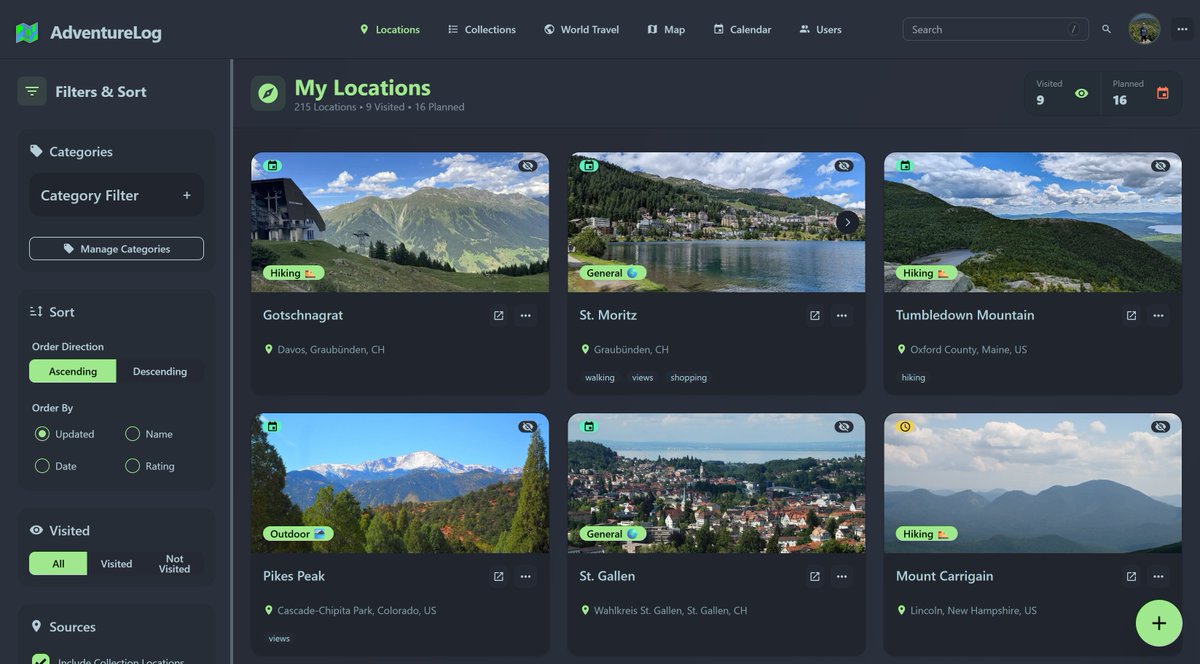
🚨 WOW! Someone just open sourced a travel journal that remembers everywhere you've ever been. 100% OPEN SOURCE
Every country. Every region. Every adventure. On your own server.
It's called AdventureLog.
A beautiful travel tracker you own completely. No subscription. No company holding your memories. No ads between your photos and your stories.
Not a travel blog.
Not a spreadsheet.
A living world map that fills in as you live your life.
Here's what it does:
→ Every place you visit gets pinned on an interactive world map with the date, photos, ratings, and your own notes
→ Your dashboard shows exactly how many countries and regions you've explored with a live world travel scoreboard
→ Plan future trips day by day with full itineraries including flights, checklists, notes, and links
→ Invite friends and family to plan together on the same trip in real time
→ Upload your hiking trails and activity files so the map shows your actual route, not just a pin
→ Share any adventure or trip via a public link or keep it completely private
→ Switch to satellite view for a 3D look at everywhere you've been
Here's the wildest part:
A college student built this because every travel app he tried was either too expensive, too ugly, or locked his data behind a company's servers.
So he built his own.
It now has 57 contributors, a Discord community, a corporate sponsor, and 23 releases. What started as one person tracking their own trips became the travel app thousands of people were waiting for.
2.8K GitHub stars.
GNU GPL v3 License.
I'm sharing my 3DGS creation technique using OSMO360
[English]
[EN]Easy&Fast 3D Gaussian Splatting workflow with 360 Camera|kotohibi https://t.co/qPEbEOs3SN #zenn
QGIS GeoAI Plugin v0.5.0 is out!
I just released v0.5.0 of the QGIS GeoAI Plugin, bringing interactive image segmentation powered by DeepForest (https://t.co/NiGOYW9UnS) to your desktop GIS workflow.
With this update, you can load pretrained DeepForest models to segment real-world objects such as trees, birds, livestock, dead trees, and more, directly inside QGIS.
Try it out:
Documentation: https://t.co/1cieUsdJol
GitHub: https://t.co/TBxio7GvtY
#deepforest #geoai #QGIS #geospatial #OpenSource
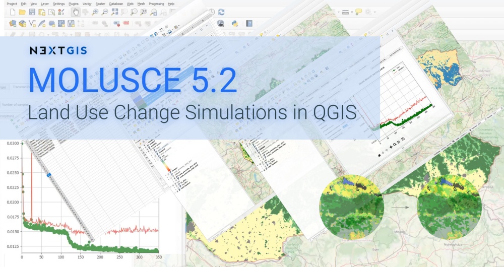
Over 400 research papers used @QGIS#MOLUSCE plugin +22 more in 2026 😱🎇
New 5.2 version adds: (1) save/load models and (2) using different versions of environmental factors at the training vs. prediction stages
https://t.co/Rne1tvUgv1
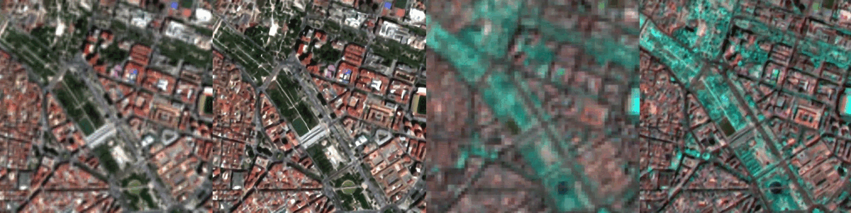
🌳🌳 TreeSeg—A Toolbox for Fully Automated #Tree#Crown Segmentation Based on High-Resolution #Multispectral#UAV Data
✍️ Sönke Speckenwirth et al.
🔗 https://t.co/aw6MGexFOE