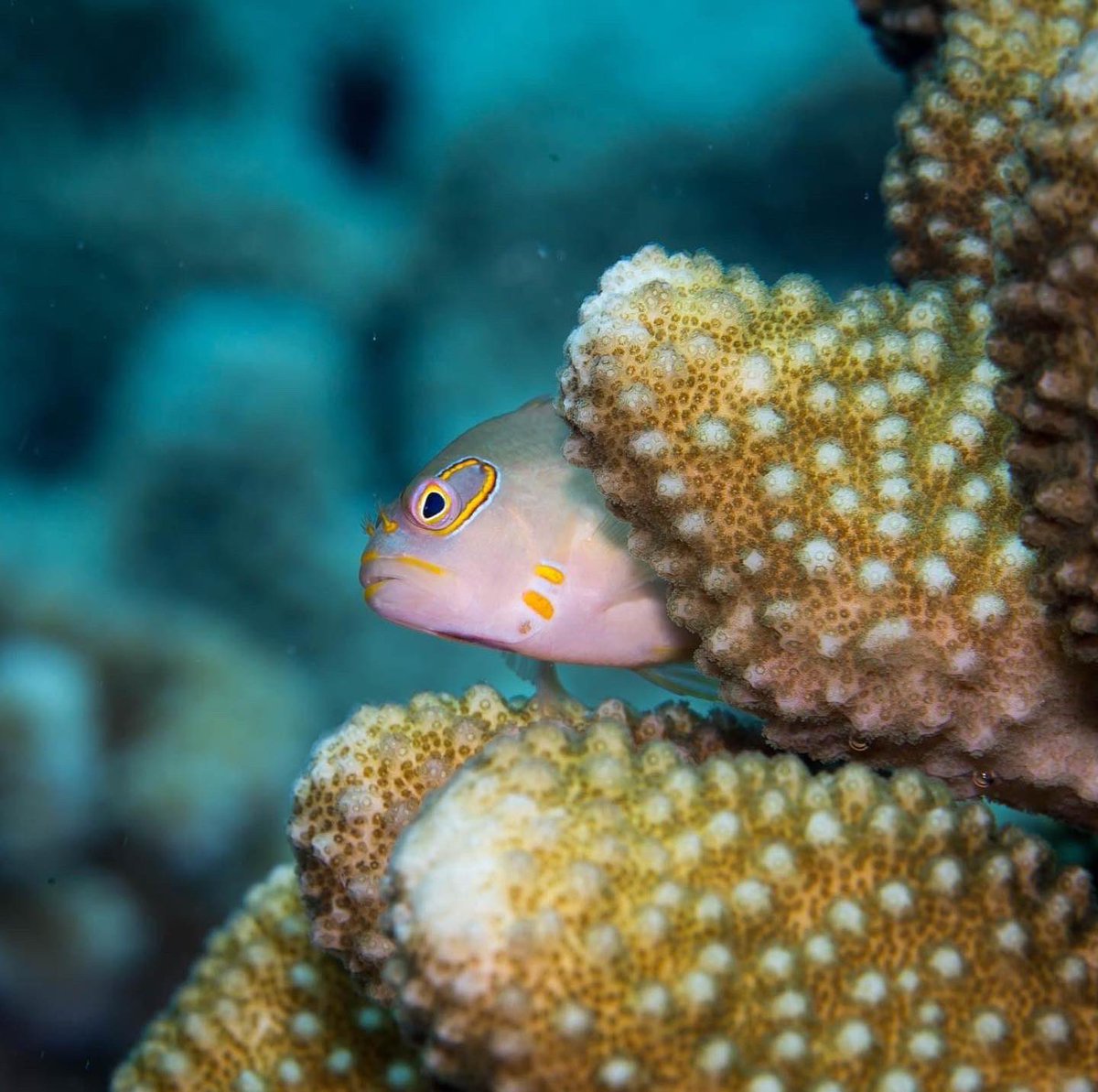
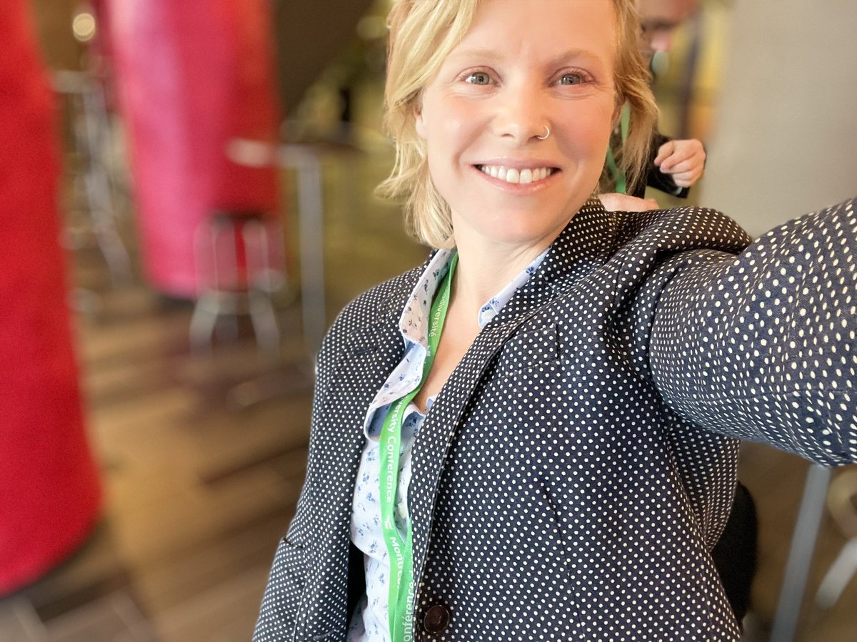
This #WorldOceansDay we're celebrating the launch of MERMAID Version 2, making it faster and easier than ever to track reef health and take action #ForCoral🪸
We save you time, so you can save coral reefs. Dive in to Version 2, from @TheWCS and @sparkgeo:
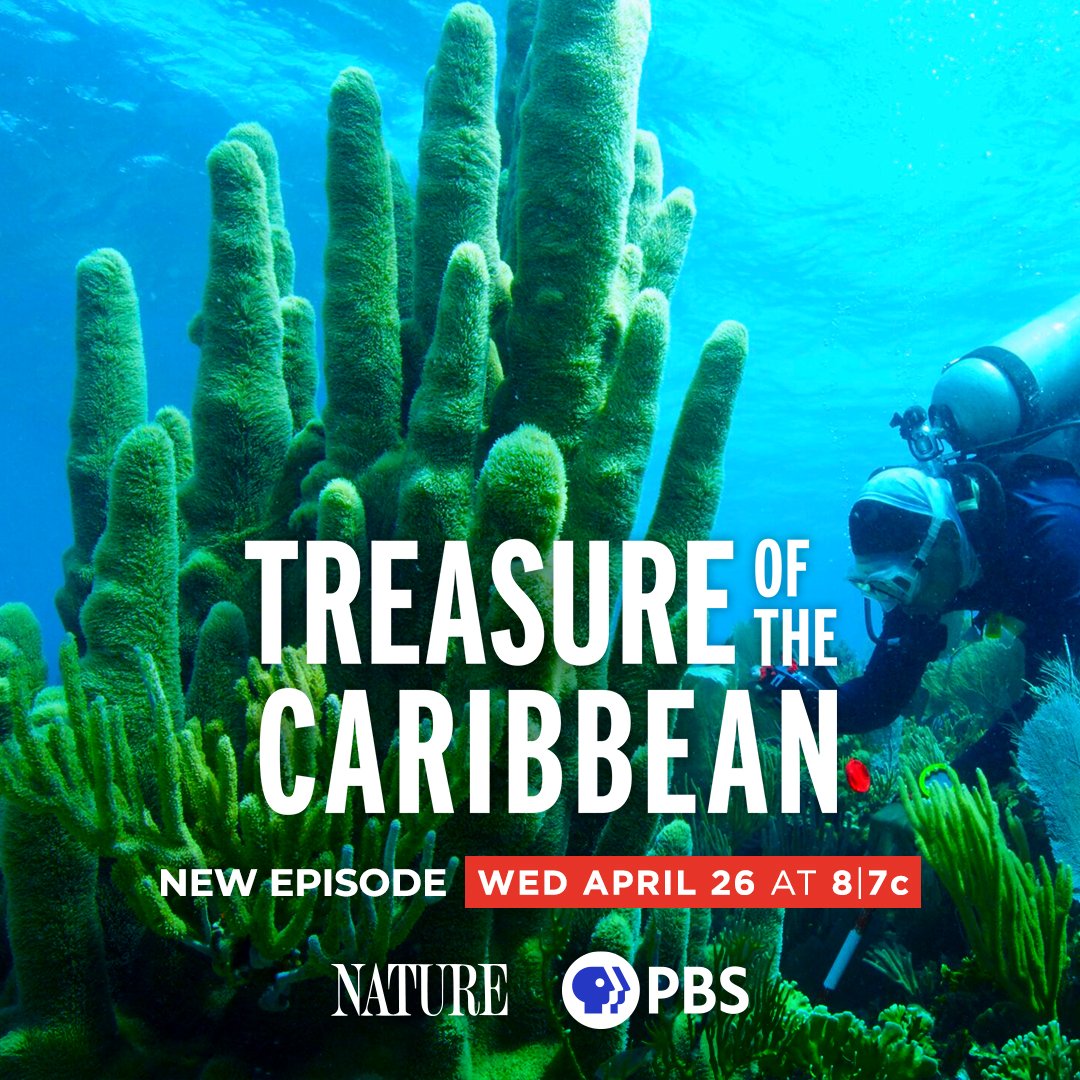
A coral garden called “The Cayman Crown” was first discovered in 2013 and kept secret — until now. "Treasure of the Caribbean" premieres Wednesday, April 26 at 8/7c on @PBSNature. https://t.co/28Ves43Tk0 #NaturePBS
Big news MERMAIDs! Version 2 is here. With a fresh design, smarter performance, and new features like photo quadrats, you'll be able to clean and share data #ForCoral faster than ever🪸
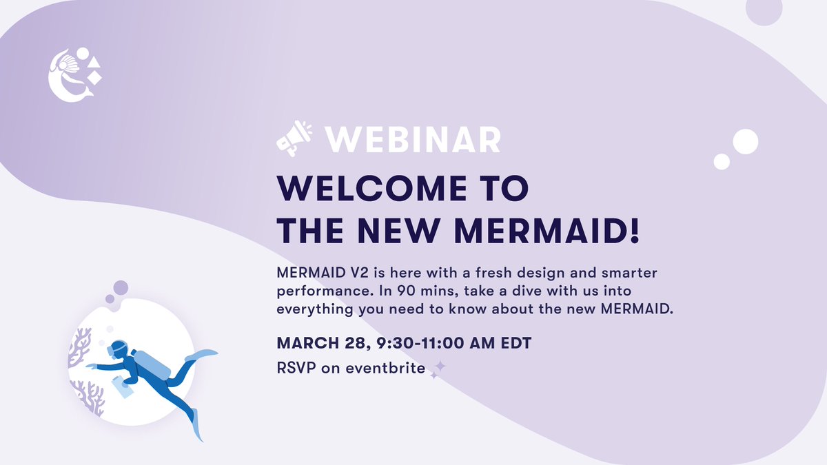
Join us for a virtual deep dive into MERMAID Version 2 👉 https://t.co/SnqJl0klDg
At #MonacoOceanWeek, @theWCS and @GlobalFundCoral will bring together community leaders, governments, NGOs, investors, and philanthropies to tackle how #BlueFinance can support coastal communities and resilient coral reefs. Live stream info coming soon. https://t.co/lRSPQihPU6
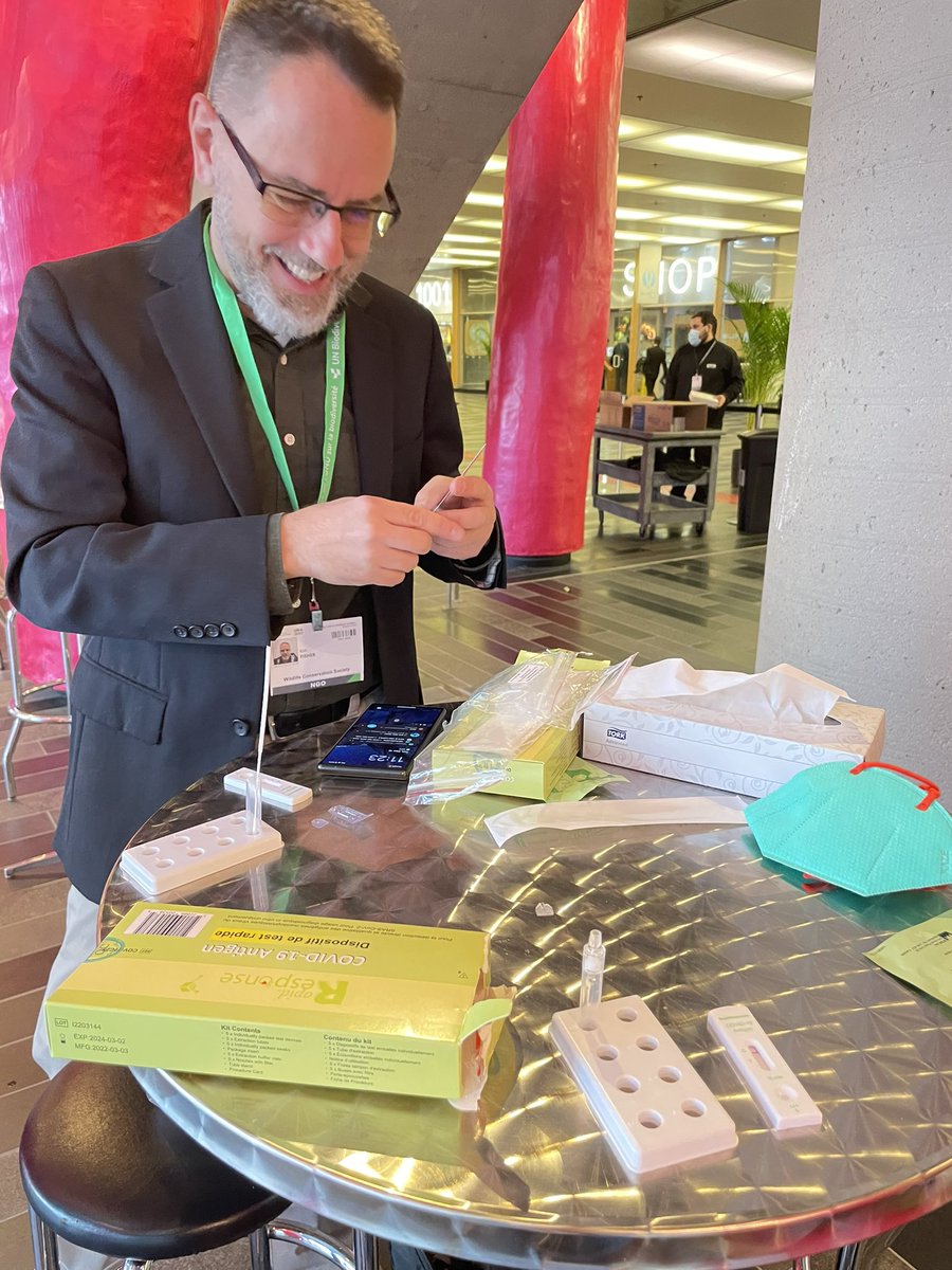
Arrived to Montreal and #COP15! #MERMAID and @TheWCS are here to add our voices for coral reefs and the 1 billion people who rely on them. For our teams on the ground, it’s relieving to have such common sense Covid testing (phew).
With platforms like @datamermaid and the Allen Coral Atlas, governments have the information and tools needed to track progress towards SDG 14.
Find the Allen Coral Atlas team at #UNOceansConference and ask us about tracking indicators 14.1.1, 14.2.1, and 14.5.1!
Mapping coral reef is hard because satellites (mostly) can't see them, so measurements are done in the water with pen & paper.
@emilysdarling & @thekimfisher from WCS talk about how they build MERMAID, a platform to aggregate coral reef measurements
https://t.co/HdzNKLrb4o
“Climate refuges are cool spots in the ocean where coral reefs have the best chance to survive. Inside these refuges scientists are finding healthy and diverse populations of coral and fish. We can find & protect biodiversity inside of these coral climate refuges." @emilysdarling
The awesome-geospatial-companies list is now also available directly on github. https://t.co/KdwQvABYL0 Hoping this makes it even easier to share & contribute. 500+ companies & offices across the world, EO, GIS, UAV, satellite, digital farming etc.
Introducing GEOFOLIO ✨ Create interactive thematic factsheets for any place on Earth. Based on open (geo)data, with lots of maps, charts, and downloads. Side project by @kokoalberti, try it out at https://t.co/ZHsZRamj1u.