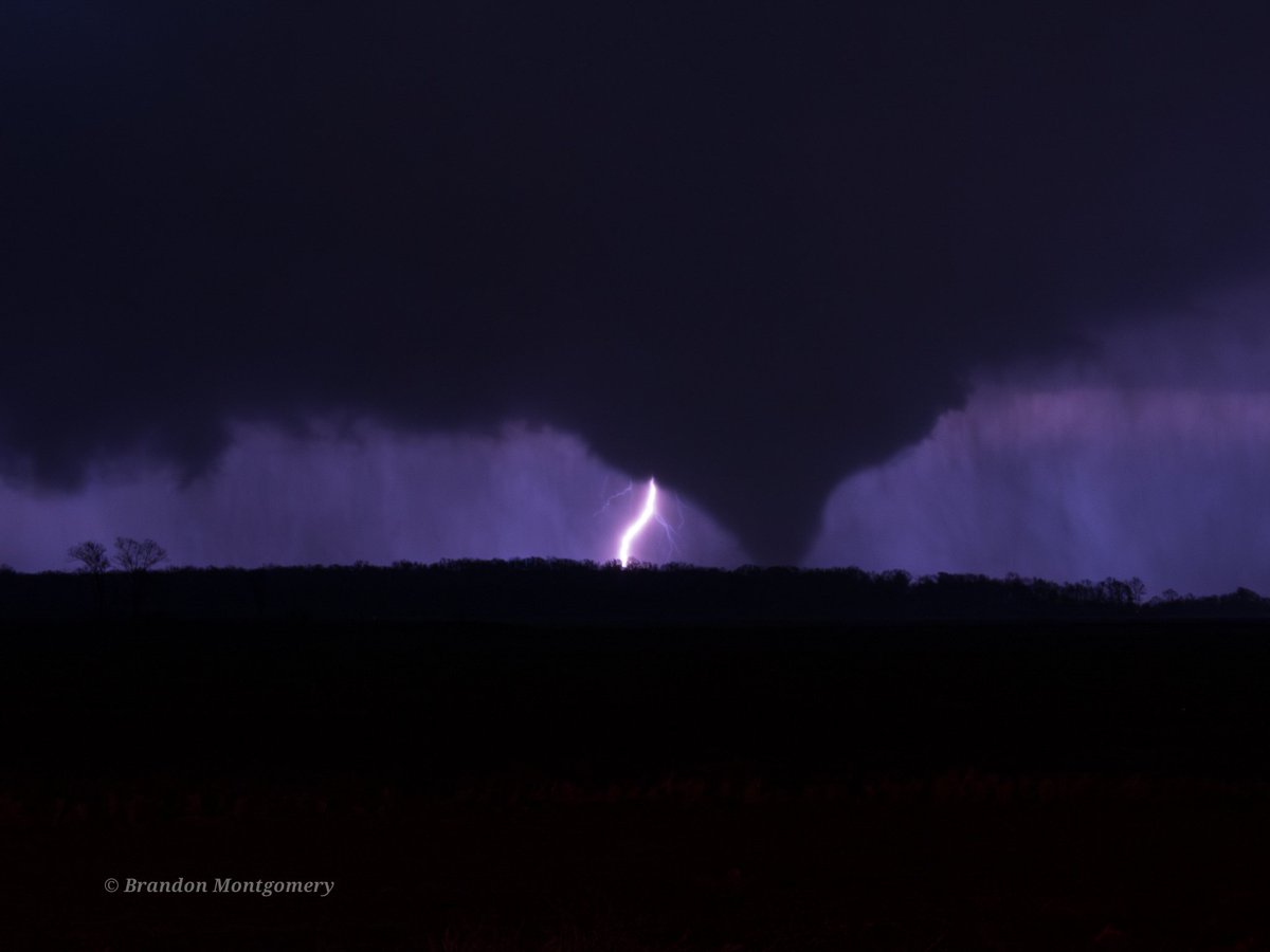
Wow!! Can't believe that @CoreyGerkenWX and I just intercepted this lightning illuminated nocturnal tornado from Hwy49W just northwest of Belzoni, Mississippi at around 11:20pm CDT!!
@BrandonCopicWx@PappenheimWx@ReedTimmerUSA
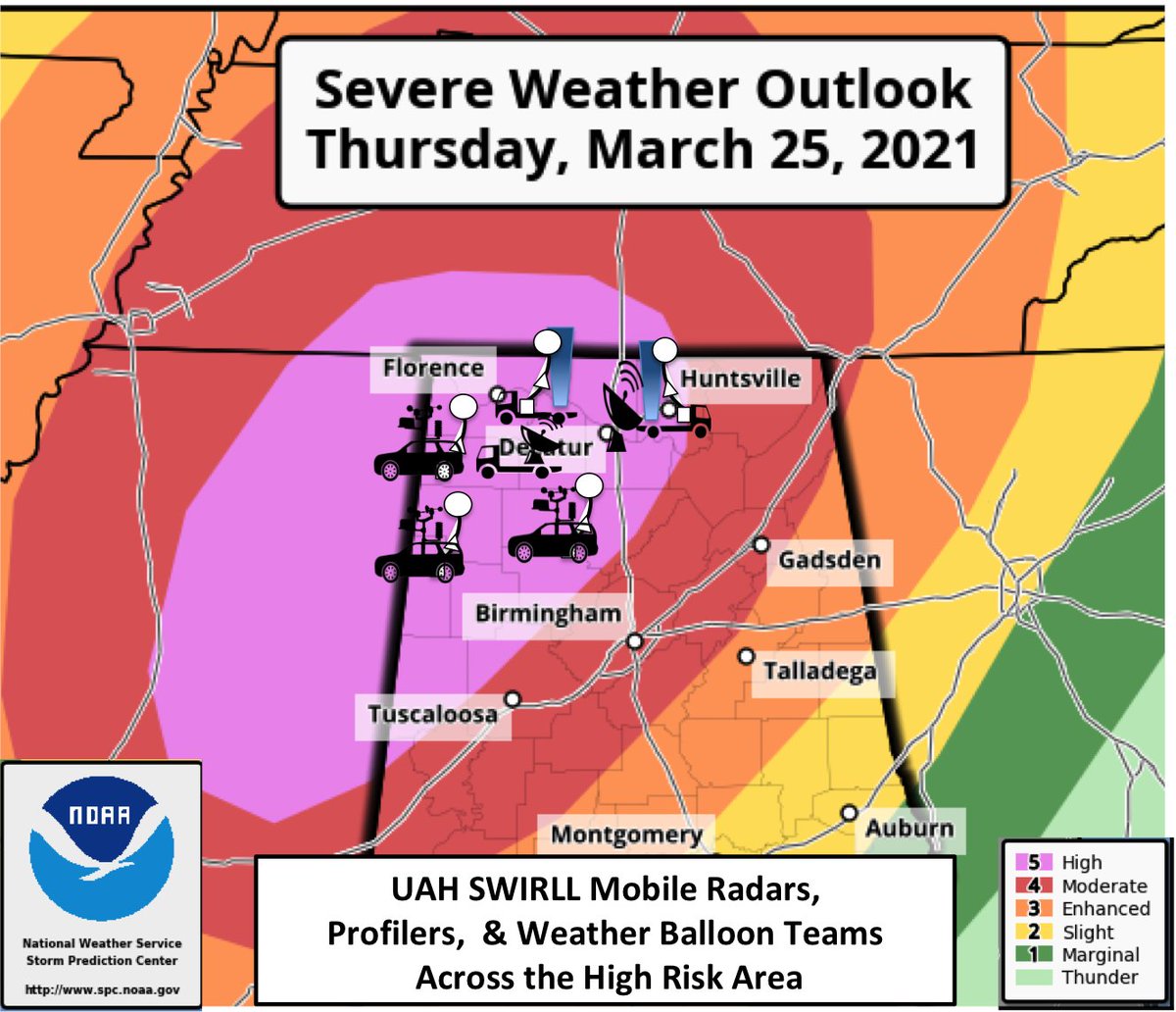
We're conducting severe weather ops across the High Risk area. Balloon soundings, radars, & wind profilers collect critical research data that are forwarded to @NWSHuntsville@NWSBirmingham@NWSNashville@NWSSPC real-time to assist forecast & warning ops. #HUNwx#alwx#mswx#tnwx
Strong winds earlier caused by "wake low". Some cool radar images and pressure trace in my blog. @weswyattweather @jpdice_Fox6 @simpsonwhnt @BigJoeBastardi#alwx
https://t.co/xLGExOz5UN
Analysis of potentially dangerous weather system on Thursday. @jpdice_Fox6 @weswyattweather @smithwjhg @simpsonwhnt @chiltonweather#alwx#mswx
https://t.co/FZ0XrzjYWG