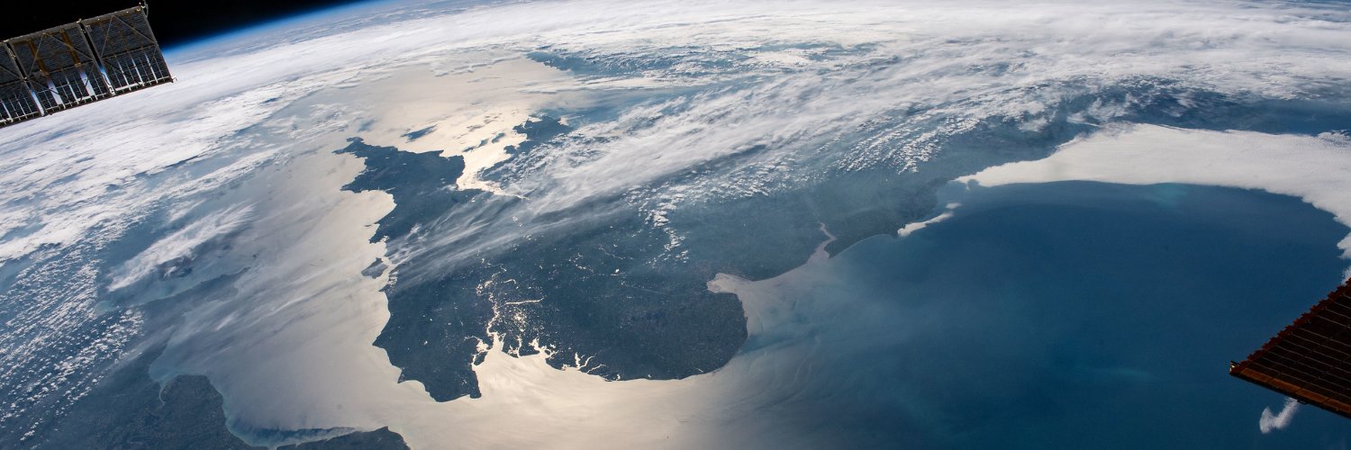
With more than 30 satellites contributing to @esa's Third Party Missions Programme, @ICEYEfi data is used for rapid-response disaster monitoring and mitigation, among various other applications.
We talked with Quentin Gillet, Strategic Account Manager at ICEYE, about his job: https://t.co/uIKzvcE8TJ
It's official: the satellite launch is scheduled for Aug 16, 18:20 UTC!
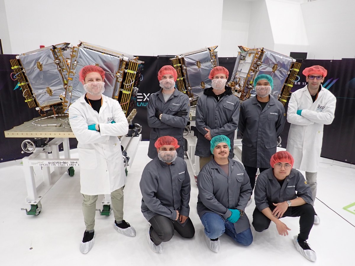
We're sending satellites into orbit on @SpaceX's TR-11 via @Exolaunch. This launch will further expand the world's largest SAR constellation and include the first satellite for @Bayanatg42 & @yahsatofficial.
📷 @ICEYEfi takes us over #Paris (image captured on 20 March 2020), in honour of the inaugural #WorldMetrologyDay on 20 May 2024. #UNESCO is hosting a special event at its Paris headquarters under the theme "We Measure Today for a Sustainable Tomorrow". #Metrology plays a pivotal role across various fields such as navigation, construction, #environmental monitoring, medicine, and food processing.
🛰️Learn more about ICEYE mission and its data: https://t.co/TjaPMtKFoJ
Our Wildfire Insights provide timely info to emergency managers, helping prioritize resources where they're needed most.
Watch our video with @AndyRead22 & @shaybstrong to see how we're revolutionizing public sector wildfire response.
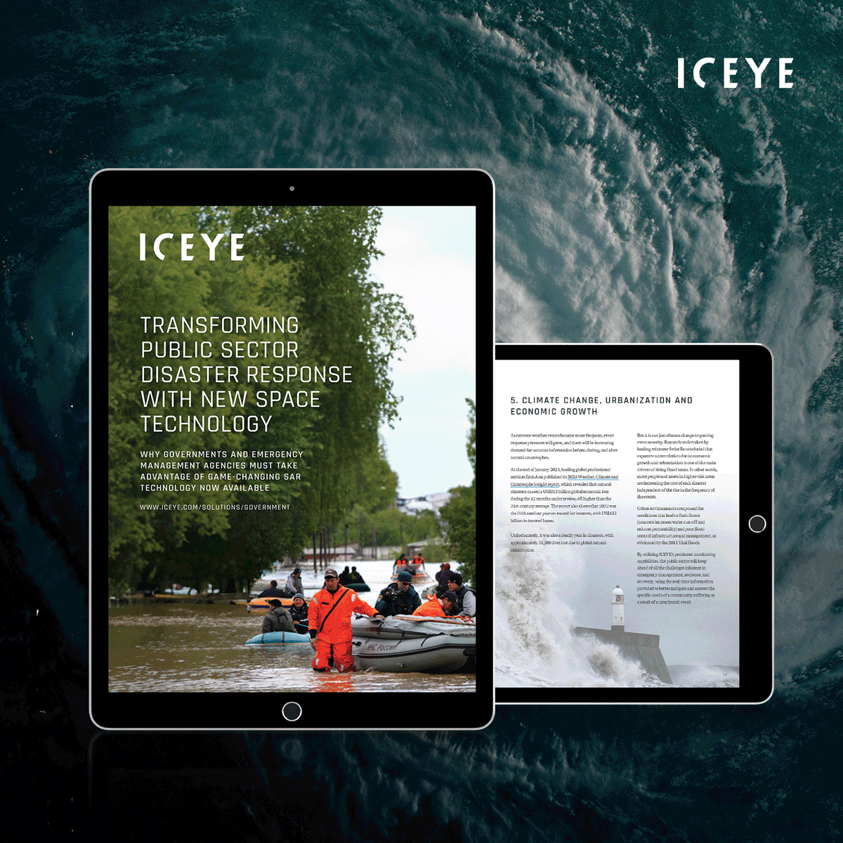
🛰️ Ever wondered how SAR satellite technology can redefine your approach to natural disasters? Dive into the potential of observation-based impact data in transforming public sector emergency response and recovery operations with our latest eBook: https://t.co/oNTVGyyJK5.
Launch success! Communication has been established with all 4 ICEYE #SAR satellites sent into orbit on SpaceX's Transporter-8 mission.
Learn more about the launch, our Gen 3 satellites and the new product they enable in our press release. https://t.co/Ax832jQpuu
Separation confirmed! 🛰️🛰️🛰️🛰️
All 4 ICEYE SAR satellites successfully separated from the Falcon 9 rocket.
Big congratulations to Team ICEYE & huge thank you to @EXOLAUNCH and @SpaceX!
The world-first Dwell imaging mode is a bundle of three innovations. Watch our new video with ICEYE’s John Cartwright and @DarrenMuff introducing this powerful product: https://t.co/gqvbhGr0OX.
#NeverMissAThing#SAR#security#earthobservation
On 23 May 2023 at the Global Space Conference for Climate Change #GLOC2023@esa DG @AschbacherJosef and Jeffrey Apeldoorn from @ICEYEfi signed a letter of intent to welcome the company to the ESA Partnership Initiative for Commercialisation #SpaceisEPIC .
https://t.co/fqChllEsRL
We are excited to announce that ICEYE has entered into a partnership with @ESA through EPIC! The primary objective of this program is to empower the upcoming generation of European space entrepreneurs.
📸 Jeffrey Apeldoorn, ICEYE & Josef Aschbacher, ESA
https://t.co/X3Ayz3PIYx
I am thrilled to be part of this new partnership between @ICEYEfi and @esa@Space4Europe
Through EPIC, @ICEYEfi will be supporting the start-up space economy through the ESA BIC network. Reach out to me for more about our Radar Earth Observation data
@esabicfinland@ESABICUK
We are excited to announce that ICEYE has entered into a partnership with @ESA through EPIC! The primary objective of this program is to empower the upcoming generation of European space entrepreneurs.
📸 Jeffrey Apeldoorn, ICEYE & Josef Aschbacher, ESA
https://t.co/X3Ayz3PIYx
1/ Flash flooding alert in Southeastern Spain
More than 100 mm of rain has been recorded in the central Mediterranean coast area, and more rainfall is forecasted for the coming days.
Our team is actively monitoring this event and gathering new evidence for potential analysis.
1/ #FloodWatch — A major storm system has triggered significant flooding in Northern Italy.
The heaviest rain began on 16 May, bringing 125-150 mm to the northern Apennines and the Emilia-Romagna region.
The colors indicate the likelihood of #flooding
Prediction date: May 15
Improve maritime safety and migrant rescue operations in your country with ICEYE's SAR satellite technology. Watch this video with Eric Jensen, CEO of ICEYE US, to discover the potential of our constellation in detecting unreported vessels or any suspicious activities at sea.
Finding a needle in a haystack is easy – try finding an oil spill in a massive body of water. Yet there’s a game-changing way to do it: ICEYE’s #SAR satellite monitoring.
Learn more in our blog post: https://t.co/C1za2Ur0pT.
#earthobservation#persistentmonitoring#surveillance
We are excited to announce the Beta release of our Wildfire Insights product that provides near real-time building-level impact data for wildfire events.
Learn more in our press release: https://t.co/TvsUrdOESe.
We are happy to share that ICEYE has received the Top Startup Partner award at @Esri Partner Conference! This award recognises ICEYE for substantial opportunities for growth with Esri & our innovative work leveraging ArcGIS software.
Read more: https://t.co/CmKIeeLQ2A
🌊 We have analyzed our 100th flood 🌊
To date, our team monitored hundreds of floods globally, mapping over 251K km² of flooded areas.
We continue to provide timely and actionable information to support disaster response and flood insurance efforts.
#disasterresponse
We're excited to announce the launch of our #Partnership page! Proud to work with some of the biggest names in the business, incl. @Betterv, @eigenrisk, @Esri, and @Guidewire_PandC, to create new opportunities through SAR and EO. Learn more 👇 https://t.co/Fm8wv6Lyd0