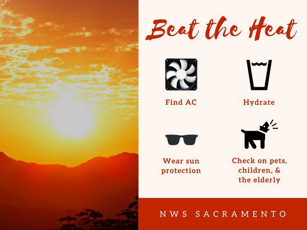
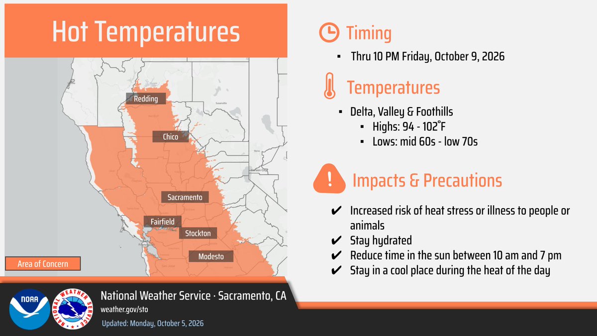
The Heat Advisory for the Valley, Delta, and foothills has been extended through 10pm Friday, 10/9. Well above normal temperatures are expected with limited overnight relief, especially in the foothill thermal belt regions. Practice heat safety and stay cool! #CAwx
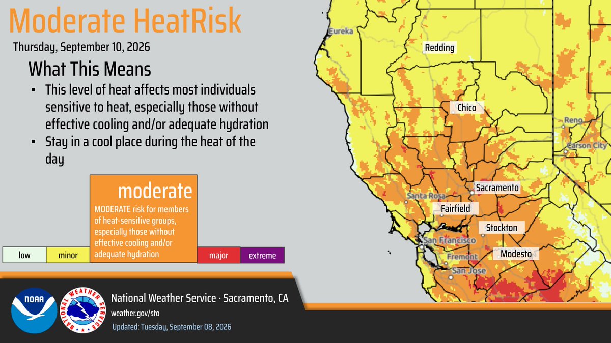
With warm weather expected to prevail over the next several days, Moderate HeatRisk is forecast across much of interior #NorCal. Be sure to prepare for the prolonged heat ahead! ☀️
#CAwx
Wow! The #sun took us by surprise… After a period of solar calm, a long filament erupted, launching plasma into #space. It could reach Earth on Friday and trigger #auroras. Stay tuned! ☀️
https://t.co/pgWL3UOquQ
📸 NOAA/ NASA/ ESA.
Incredible "binary hurricane boogaloo" possible into next weekend as Hurricanes Odalys and Polo undergo "fusion" over the El Niño "climate fueled" waters of the Eastern Pacific off coast of Mexico.
This is very "chaotic" and demonstrates a "forecast uncertainty"
Onshore flow returns to the area today, with locally breezy winds at times in the Delta and surrounding terrain. Wind gusts up to 20 mph possible in the Delta, otherwise general wind gusts below 15 mph across interior NorCal the next few days. #CAwx
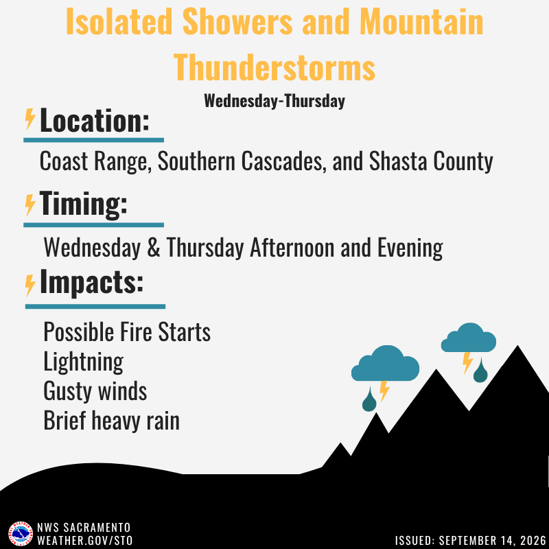
Midweek will bring chances for showers and thunderstorms with best chances over our northern mountains Wednesday-Thursday. There is still a fair amount of uncertainty, so be sure to keep an eye on the forecast and check for the latest updates at https://t.co/dxSBaR6Ccv
Saturday, September 12, 2026, 3:55 PM: There have now been over 70 small earthquakes in the Lennox, California region in the last 24 hours. I’m watching this swarm very closely as it crosses over the Newport-Inglewood Fault. #CAwx#earthquake#LosAngeles
RED FLAG WARNING in effect from 11 AM this morning (9/12) through 11 AM Monday (9/14) due to gusty winds and low relative humidity for portions of Sacramento Valley and northern foothills.
Cooling temperatures today and into the weekend, with a return to more seasonal averages across the area. Highs today will be in the 90s, with the 80s over the weekend.
Temperatures are trending hotter than this time yesterday afternoon. Today is expected to be the hottest day of the week. The Heat Advisory remains in effect through 10 PM Thursday. Be sure to check your local forecast and stay cool! #CAwx
Elevated Fire Weather Conditions Today through Thursday from dry and hot conditions along with breezy northerly winds and poor overnight recoveries. The main area of concern is the Valley, Delta, and adjacent foothills.
A staggering marine heatwave is ongoing off Baja California, where waters are up to 14°F (8°C) above normal.
NOAA is categorizing it as a severe to locally extreme marine heatwave. These very warm waters extending up to SoCal are helping drive the region’s record-humid summer.
I’ve never seen this before. Some weather models are forecasting dew points in the upper 70s in LA County on Wednesday, with heat indices peaking near 110°F.
Truly miserable humidity.
If dew points reach that level in DTLA, it would shatter the previous dew point record.
Moderate HeatRisk Wednesday and Thursday, with the warmest temperatures on Thursday. A Heat Advisory is in effect from 10AM Wednesday through 10PM Thursday for portions of the Sacramento Valley, Delta, and adjacent foothills.
A Heat Advisory has been issued for portions of the Sacramento Valley, Delta, and adjacent foothills for Wed Sep 9 thru Thu Sep 10. High temperatures are forecast to be 7 to 12 degrees above normal on both days. Make sure to drink plenty of water if outside and take breaks! #CAwx