“My younger self would be very proud that I’m here at NASA, doing a job I love.”
Assistant research scientist Rachel Tilling emphasizes the importance of mental health support in the STEM fields. Read her story: https://t.co/tMAIPW1Gku
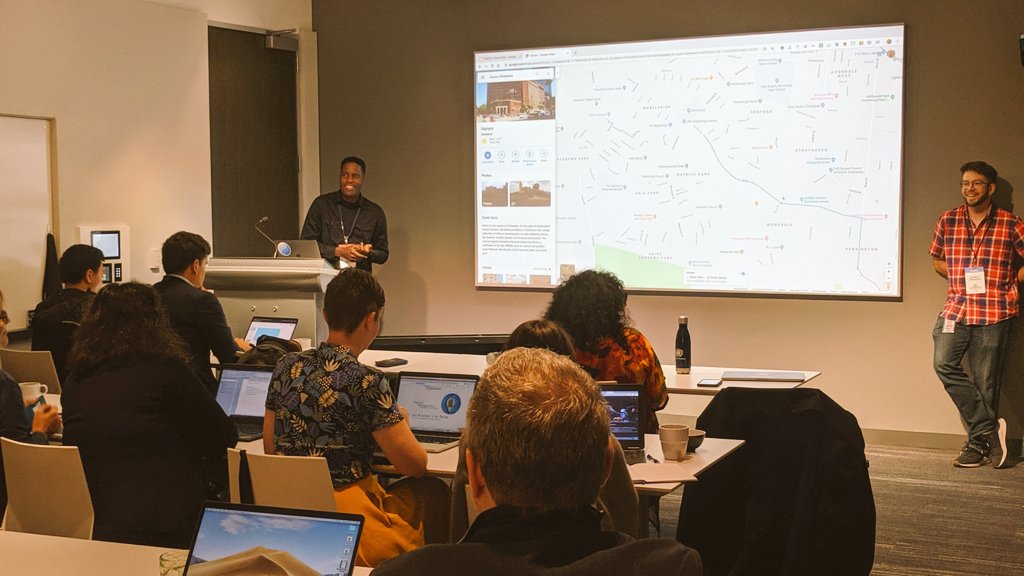
.@KanhemaPhoto carried Street View cameras across Zimbabwe in 2018, so it would have a more complete representation on Google Maps.
Now he's doing the same for other extreme locations around the world 🌍
Amazing story, via Reddit, about Tawanda Kanhema, a Zimbabwean photographer who trekked more than 3000km with a Google StreetView camera to put his country on the map. https://t.co/5HNw8FoP3C
Our "Lost mountain pass" story has travelled the world, but there is still nothing about it in the local newspaper. They are very busy covering the disruption to local traffic caused by closed mountain passes. Well I guess some things never change... 🙂
Learn about digitization of African heritage with Tawanda Kanhema @kanhemaphoto, Prof (em) Heinz Rüther @ZamaniProject, Chao Tayiana @AfricaDHeritage, Doreen Bateyunga @UBONGOtz, & Mwihaki Muraguri @paukwa on 25 Jun 7PM EAT. Register today at https://t.co/dEUlP4nd9Q #hiistoriya
Google Street View covers most of the U.S. and Europe. But parts of Africa have sizeable gaps.
For Tawanda Kanhema, it highlights a digital divide.
He volunteered to carry Street View camera gear –– and map 2,000 miles of Zimbabwe, his home country. https://t.co/v4OAsfpaDb
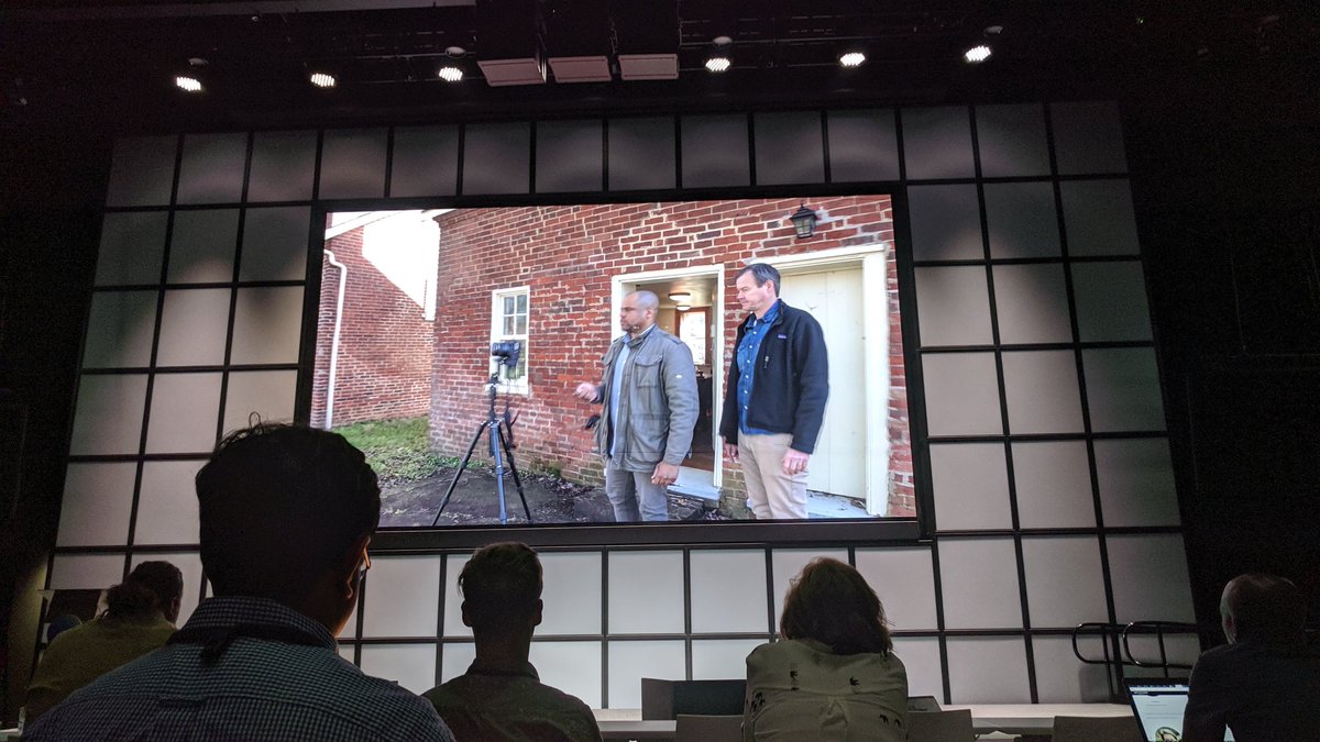
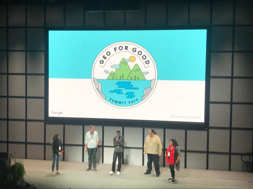
The first #GeoForGood19 film festival was awesome! Everything from mapping to Preserve Black History, Street View in Zimbabwe & Tonga, Adventure Scientists, https://t.co/P4H3LpSV66 and Liza Goldberg, @NASA intern! 😱🌍👩🚀👏
Check out the shortfilms now: https://t.co/Cy86yxkTJW
"The key to a successful project is relationships. Mapping is about representation." Q&A with Tawanda Kanhema (@KanhemaPhoto), Street View contributor. 🌍 #GeoForGood19
The ongoing forest fires in the #AmazonRainForest are deeply worrying.
We are in touch with the Brazilian and Bolivian authorities, and stand ready to assist in any way we can – for example by activating our @CopernicusEU satellite mapping systems.
*Tap* So! Let me tell you a story.
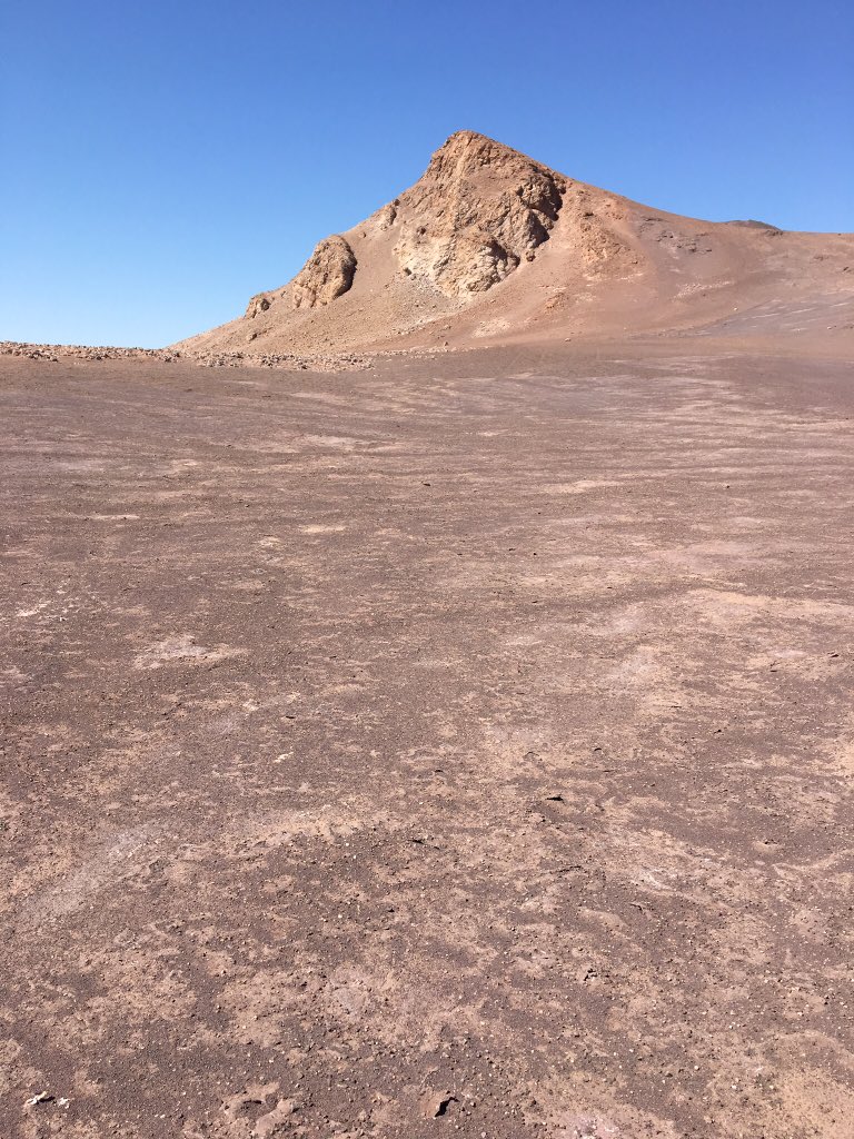
A few months ago, I traveled to Earth's oldest desert, a place full of salt and wind and almost no life at all: The Atacama. In every way, it felt like going to Mars.