Category 2 Cyclone Fina bubbling away in this 'target area' timelapse. This provides an image every 2.5 minutes giving a very mesmerising look at Fina. The latest live satellite and radar imagery: https://t.co/4H7g2oAv7a Full res video on youtube : https://t.co/2jUaHjdlQC
If you are also on Bluesky or FB, please find and follow us over there too. We will be increasingly posting there : https://t.co/hiyZnXnNAK
https://t.co/BE9KfHzQLS
Just released our new cyclone tracking map. Watch and track this early season cyclone as it continues to develop off the NT coast towards a category 2, with possible landfall later in the week. https://t.co/kqOydRFRMg
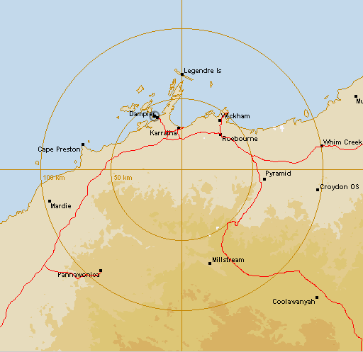
The BoM has just commisioned a new weather radar at Karatha in WA that will take over duties from the nearby Dampier radar. Not much activity in those parts as yet, and no history, but undoubtedly will be plenty in the coming months https://t.co/wCtYM5E7dc
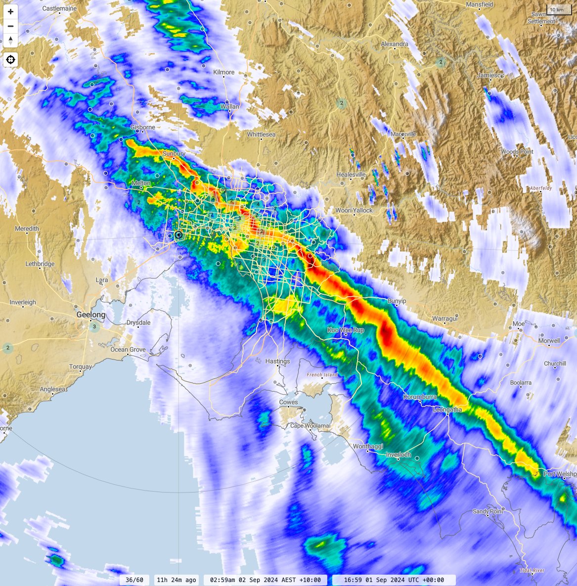
Heavy band of rain crossed #Melbourne in the small hours last night accompanied by the strongest winds. Cold wintry showers following this morning. See the HD sequence here: https://t.co/IToCqlXxJE
The severe hailstorm with 'golf ball' size #hail reports, that impacted NW of Bendigo on Sunday impacted a long swath of land over a period of about 30 minutes. HD #Radar flow view of the event, purple showing the likely severe hail path: #melbourneweather#melbweather
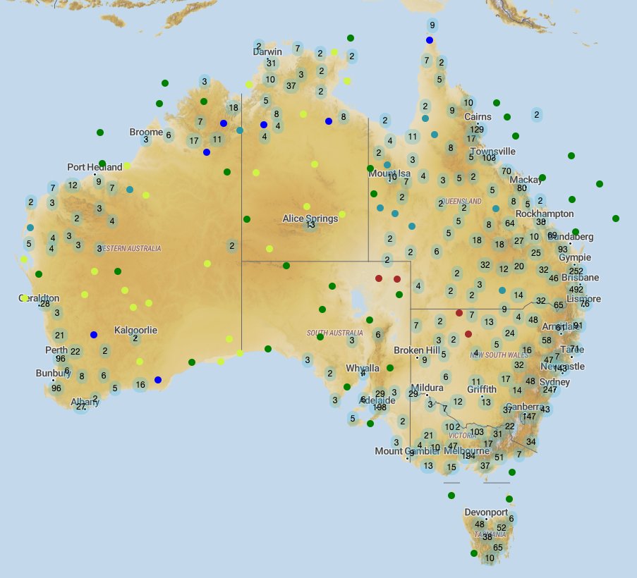
We've been a bit quiet here, time to change that! Observations have been revamped, and now includes free access to daily observations. Sub-daily observations now have IFD graphs so you can find out how uncommon a rainfall event is. Start exploring here: https://t.co/vrFgjbWisC
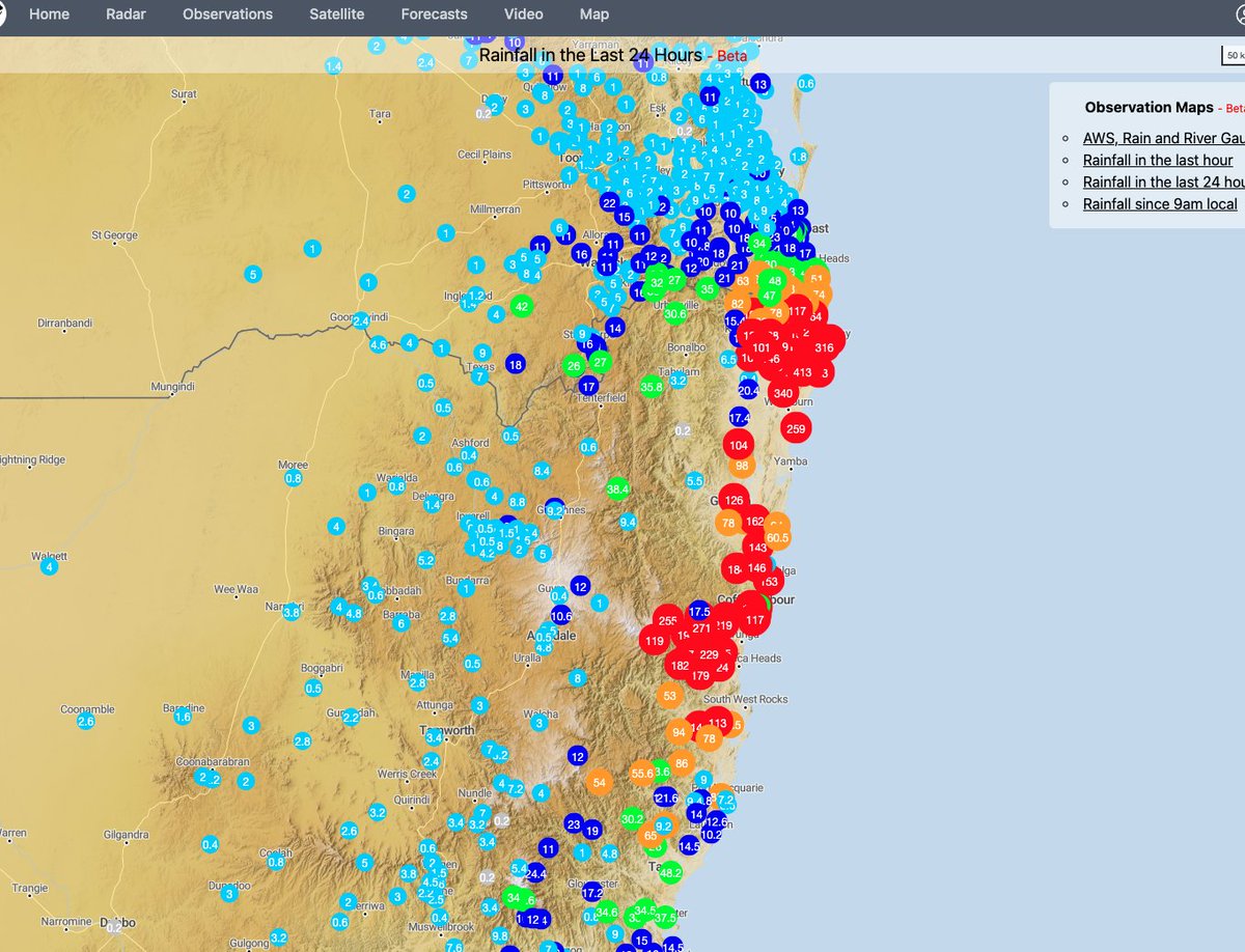
There is now a one week rainfall view and a key for the colours including an extended colour range. At least one nearly a full metre in there at the moment, and lots over half a metre. 🌧️
https://t.co/04g9IDXgTJ
We're actively working on a new observations map that with live river levels along with rain gauge & AWS data from around the country. It's still very much a work in progress with some rough edges but if you'd like to have a look you can find it here :
https://t.co/vrFgjcdluC
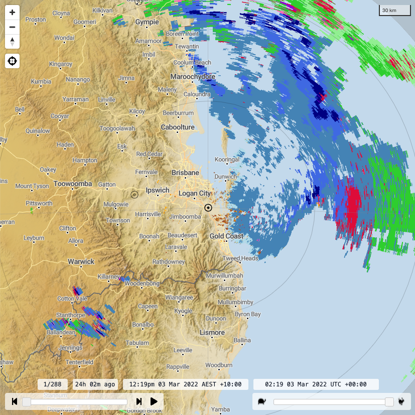
Wind velocity, classification & accumulated rainfall (hourly and daily) have been added alongside reflectivity imagery on our new (in beta) HD radar viewer. Data from more times/radars continue to be added, as well as fixes and additional functionality.
https://t.co/ZQbiXSR9f5
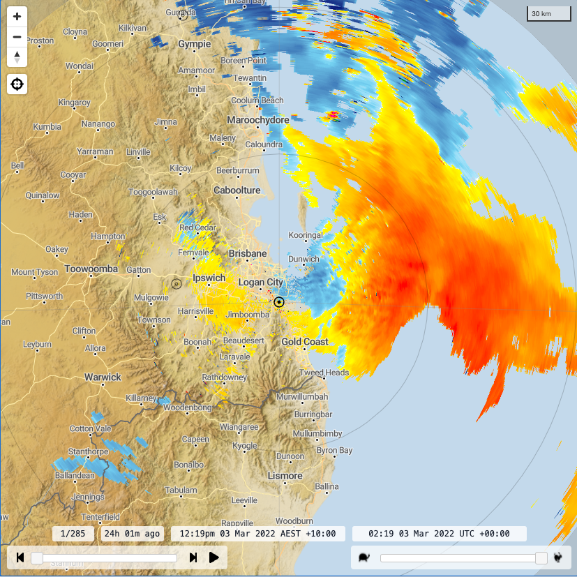
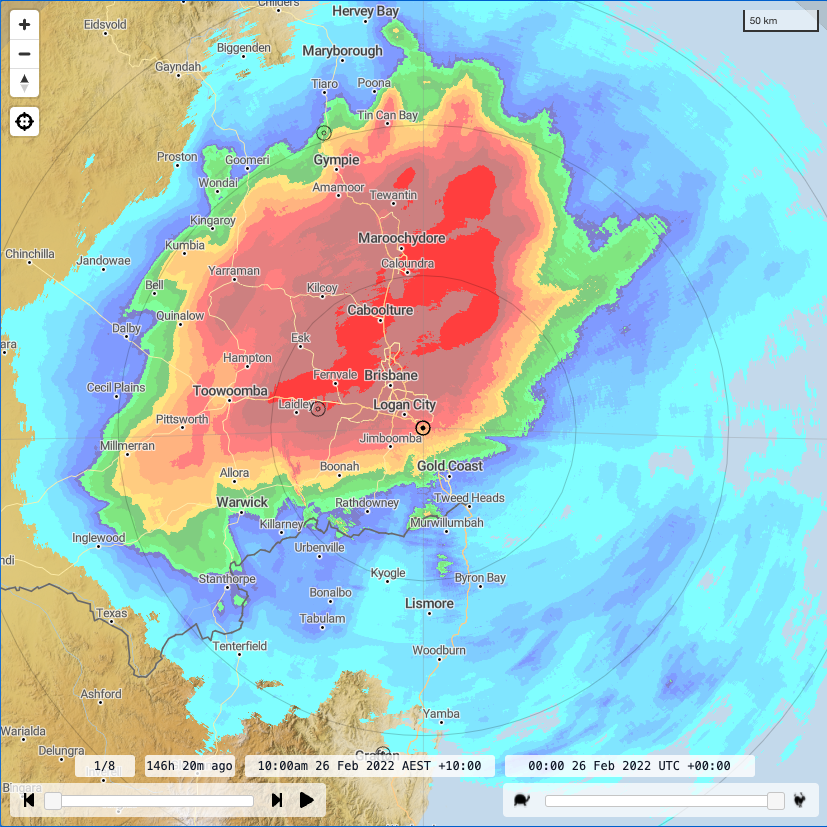
Get a more detailed look at the storms down the east coast with a sneak peak at our new (in beta) HD radar viewer. There is a link at the top of the legacy viewer, but here is a direct one to #brisbane for the last two hours: https://t.co/k9WJDUPoqS
Seems there was a very noticeable outflow in the radar data when the storms passed over #Melbourne yesterday (1st December). Originating near Portarlington, and pushing north west up to Ballarat.
New state-of-the-art weather radar coming to Mildura (Cullulleraine ~45kms west of current radar). Greatly improved radar coverage to agricultural areas of Vic,SA,NSW. Also assist flood, emergency services and weather forecasting. Operational first half of 2021 #Milduraradar
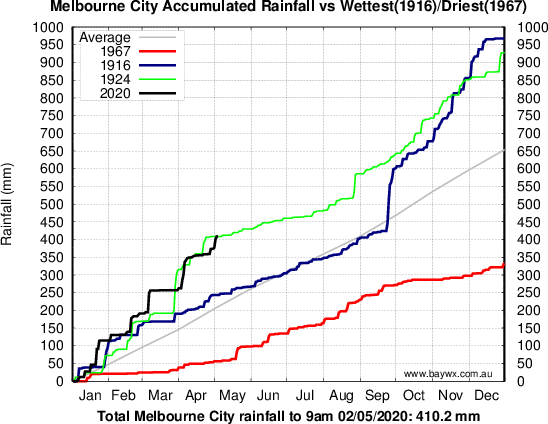
Melbourne rainfall (410.2 mm) has now snuck above 1924 (408.8 mm) for the wettest start to the year on record. Ultimately 1924 (927 mm) came in 3rd wettest at the end of the year behind 1916 (967 mm) and 1911 (930 mm), and just ahead of 1863 (926 mm). Link https://t.co/PemVF6snKZ