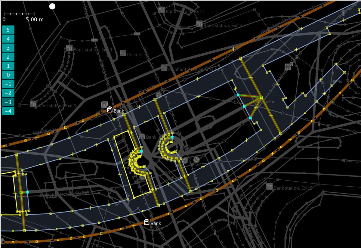
Playing around with the #Mapbox flyTo and setTerrain function on my #OSM based custom map. Wonder if I can use custom high resolution elevation data for setTerrain to get a even better effect.
Newly available Maxar satellite imagery shows several hundred meters long surface rupture with horizontal displacements up to 4m near Nurdağı, Gaziantep province, Turkey.
The twitter likes should be going to the people tirelessly doing vandalism detection and removal day in and day out on #OpenStreetMap , that keep it so below the radar that over the years this is the first time any such event has even been noticed in the media.
Great work by AIT! I wonder, if OSM is the only data source used? The routing instructions referred to some POIs, which I couldn't find in OSM. Also the locations where it lets you cross the street aren't consistent with the 'official' OSM crossing points. https://t.co/M2CuUCwhW2
@simongerman600 West Virginia -> Tanzania, North Carolina -> Switzerland ? Seems ridiculous. The same with Wisconsin - Minnesota and so on. Which indicators did they use after all?