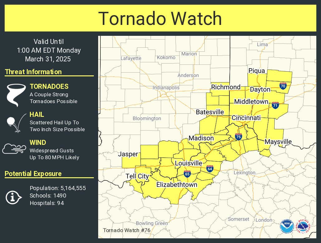
Not sure what caused it since there doesn’t seem to be any storms nearby at this moment but the entire block here just lost power in Nicholasville #kywx@WeatherNowKY@Kentuckyweather
I see a lot of you still don’t understand how the CIG system works judging off of some comments @MatthewCappucci received today.
It’s really not that hard to understand at all if you take 5 minutes to read this article and visit https://t.co/PvBhAGSweM and it isn’t hard to convey either.
SUNDAY, March 22 could bring some scattered severe weather in the Midwest and Appalachians. There is an increasing risk of scattered hailstorms in Pennsylvania.
A stationary front will slowly sag southwards as a cold front. Ahead of it, there will be some instability, or thunderstorm fuel, primarily west of the Appalachians.
We'll also have a "cap" of warm air at the mid levels to hold back pent-up thunderstorm fuel until it all erupts quickly, creating some severe thunderstorms.
In Pennsylvania and south toward the Mason-Dixon Line, the primary risk is large hail of quarter to ping pong ball size. There could be an isolated golf ball-maker. Northwest flow environments love to produce hail, and these will be rotating supercells. The catch? No real tornado risk in Pennsylvania since the storms will form overtop a shallow cooler, drier surface layer and be "elevated." That's a classic recipe for large hail.
To the west, there's a bit more surface moisture near the Ohio River. We can't rule out an isolated tornado when storms first form in southern Ohio or southern Indiana, but that's a very low risk. Storms to the west will quickly merge into lines or clusters that will sag southeast with time. The main risk will be hail up to nickel size and strong to locally damaging gusts.
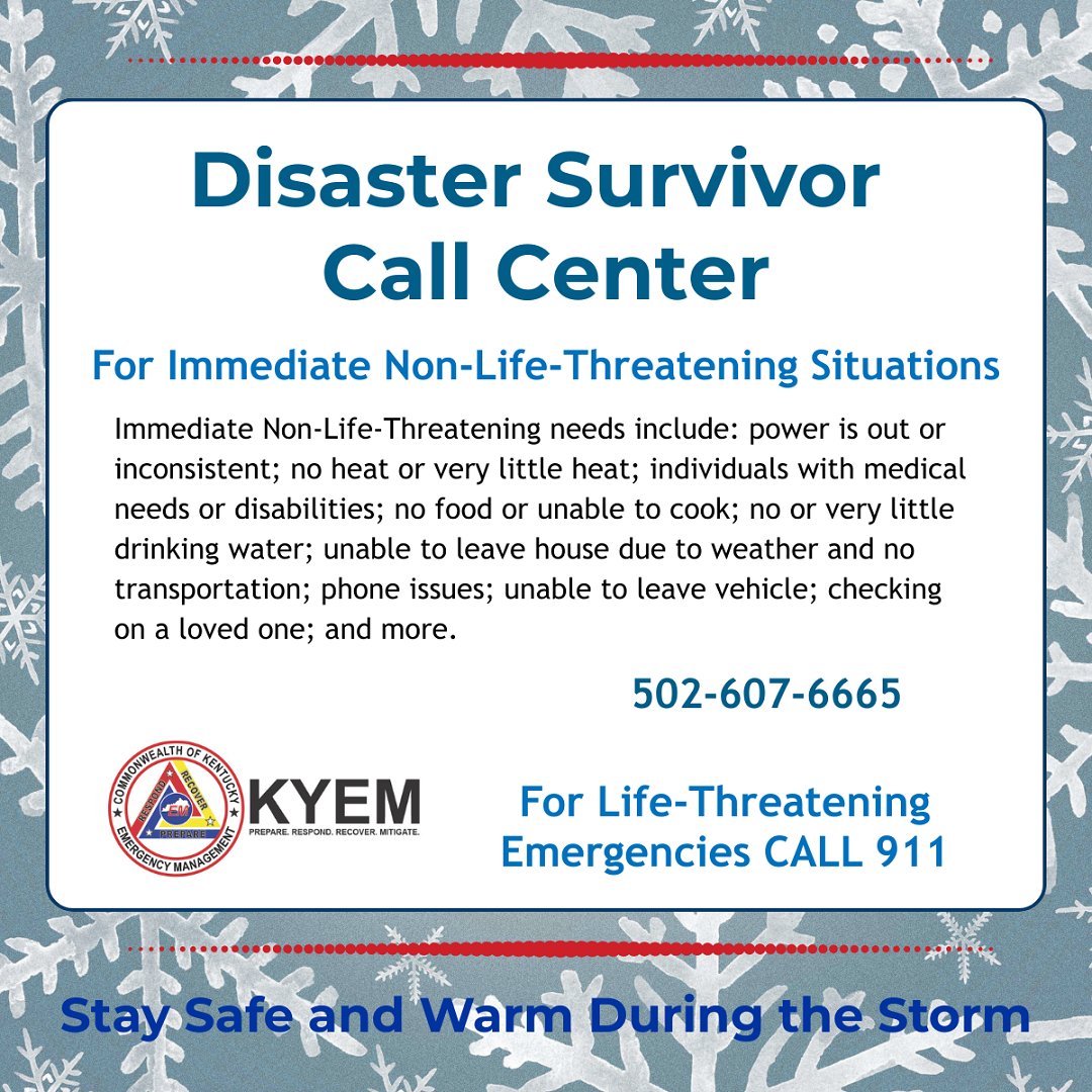
KYEM Assistance Specialists are available to answer calls for immediate, but non-life-threatening needs, in the Commonwealth’s Disaster Survivor Call Center at 502-607-6665.
FOR LIFE-THREATENING EMERGENCIES CALL 911
If you are stranded in a vehicle: CALL 9-1-1!
#WinterReady
EVERY CORPORATION IS INSTANTLY FOLDING TO THE ADMIN EVEN WHEN ITS OVER AN UTTERLY INNOFFENSIVE JOKE THE ADMIN DOESNT LIKE! LIBERALS NEED TO WAKE UP!!!! WE ALL HAVE TO FIGHT BACK, THESE WEALTHY ASSHOLES ARENT GOING TO STAND UP FOR ANYTHING BEYOND THEIR BOTTOM LINE!
Yesterday's storm system triggered 728 Severe & Tornado Warnings, the highest single-day count since the historic April 2011 outbreak.
The data shows we just experienced the third most active severe weather day in nearly four decades.
I deeply hope this tornado outbreak shows why the NWS is necessary to our nation’s leaders. The NWS has some extremely dedicated forecasters focused on serving out the mission to protect life and property, and today has proven just that. Yesterday, tomorrow, always.
Val, I've been holding back from responding with the same level of hostility you've shown, but since you keep tagging me, I'll say this and I won’t be responding again:
I’m Canadian—I can’t even vote. So when I speak about human rights, I’m not talking about politics; I’m talking about equality. Although I am sure you would love to take this time to further push your political agenda. I will continue to push for the LGBTQ+ community with my cis privilege. It is the least I can do.
End of discussion. ♥️