According to the Climate Predication Center, not only does the 1st week of September outlook indicate an increased likelihood of below normal temperatures, it also indicates an increased likelihood of above normal precipitation as well.
[7:55 AM] The dewpoint drop is upon us as a very dry airmass settles into the region this week. As we alluded to yesterday, this will allow for morning temps to dip into the upper 40s and lower 50s each of the next 3 days. May be time to break out the pumpkin spiced lattes.
The seasonal cooldown of the Northern Hemisphere continues as we head into Autumn. Loop of 850mb 2-week avg. temperatures for Jul thru mid-Aug. Stay tuned as I monitor the cooldown over the next 2 months. #winteriscoming@foxweather@spann
Every one of these storms in Indianapolis are spinning, just like they will be when they get here in a few hours. I think the environment is right for a long night. Have multiple ways to receive warnings! #ohwx
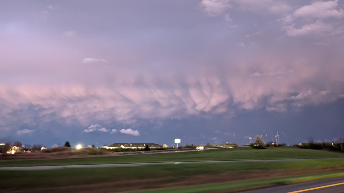
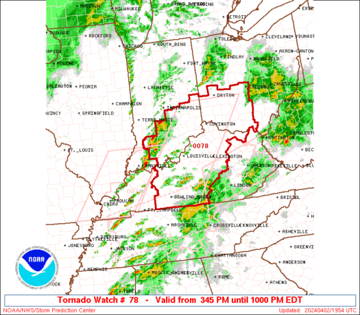
Severe storms likely later this afternoon for areas along and north of I-70. Some storms will begin to develop on the tail of this line, but the worst will stay north of Columbus. #ohwx
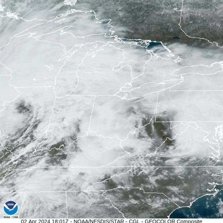
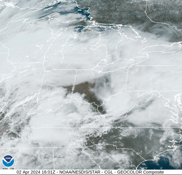
Now that we're getting through the second round of rain we can finally start looking towards later this evening for our impending severe threat. Just like after the first round, there's some clearing already over Kentucky and southern Illinois. #ohwx
Hey everyone, I've been recovering from a stomach bug so I'm just getting around to looking at our severe threat today. Stay tuned to this thread... 1/x #ohwx
But this is a pretty large area of precip and clouds moving in. It'll be moving in to an environment that isn't favorable for development YET. So the million dollar question: will this tame our atmosphere before the front approaches? 6/x #ohwx


![NWSILN's tweet photo. [7:55 AM] The dewpoint drop is upon us as a very dry airmass settles into the region this week. As we alluded to yesterday, this will allow for morning temps to dip into the upper 40s and lower 50s each of the next 3 days. May be time to break out the pumpkin spiced lattes. https://t.co/zCnvircXUN](https://pbs.twimg.com/media/GVV7VPda4AEIB8v.jpg)


![NWSILN's tweet photo. [10:35 AM] A few key points to keep in mind as we progress through the day... https://t.co/g1oxuLupmq](https://pbs.twimg.com/media/GM-7YGla0AAweZ4.png)