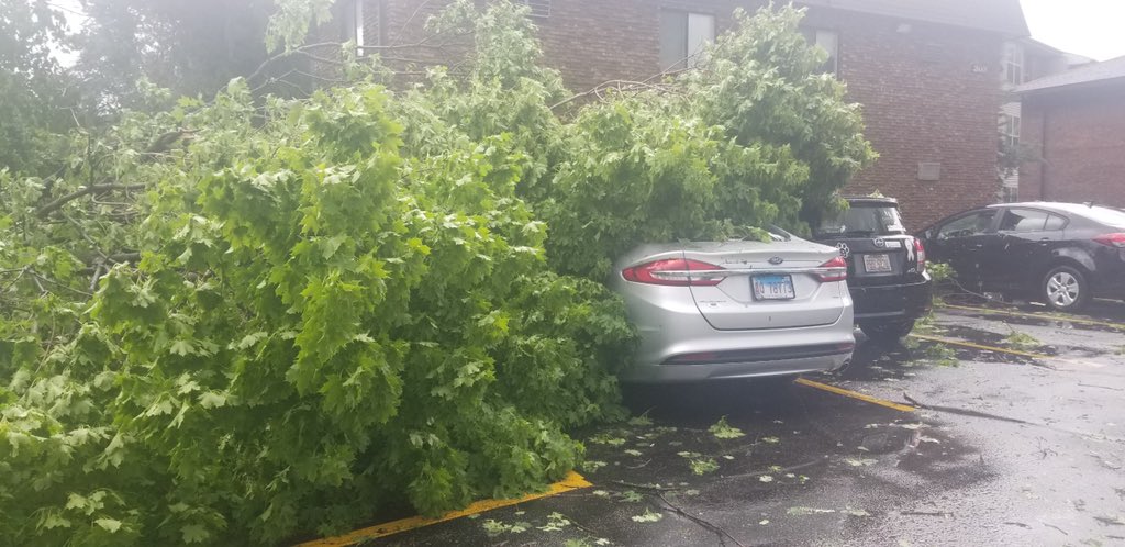
Debris picked up on the airfield that caused our Operations staff to close the airport because Foreign Object Damage to aircraft can cause catastrophe. Pots, foam, wall panels, plant ID tags over millions of square feet. Presumed from tornado damage 47 miles away in Linwood, KS.
Really take a close look at the eyewall evolution here. Notice how in the hours up until landfall, the wavenumber of the mesovortices changes several times — this is also means they change in scale. Then right before landfall, a contraction occurs. Absolutely unbelievable.
Zooming in, the structure of #Michael's #eyewall has become very impressive. A obvious wavenumber 5 pattern has developed with the eyewall, with these points representing mesovortices rotating cyclonically around. These features can locally enhance winds in the eyewall.
#Hurricane#Michael's pressure continues to drop - now to 923 hPa. Only 4 hurricanes on record have hit the continental US with a lower pressure: Labor Day (1935), Camille (1969), Andrew (1992), Katrina (2005).
I was lucky enough to meet Joel a few years ago at Reed’s wedding. He was so kind to me and we got to hang out for a bit during those few days. I snapped this photo of him and that just seemed like who he was. A huge smile. RIP Joel Taylor…you will be so missed.
Beautiful zoomed-out annotated satellite image of the rapidly-strengthening Nor'Easter this morning (non-annotated image included for reference). So much to see!
There is currently very strong ensemble support for an impressive transition from above average to well below average temperatures for the eastern 2/3 of the US. Winter is coming.
Still looking like a turn to colder weather mid-December...possibly stormier too. We may actually have decent winter weather in December for the first time in years.