Start-Up de service géomatique, expertise technique dans l’édition cartographique professionnelle, production de Géo-Info et DEV outils de visualisat. de donnée
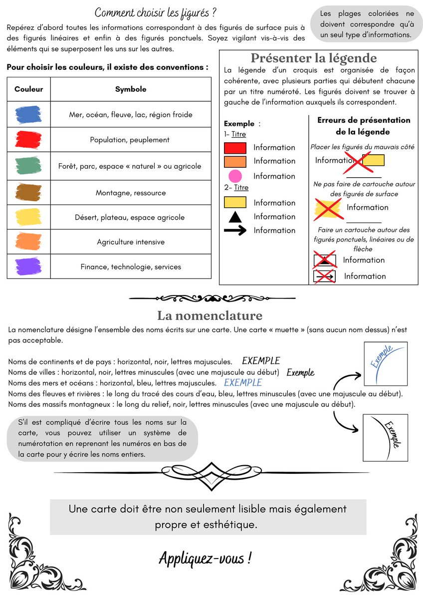
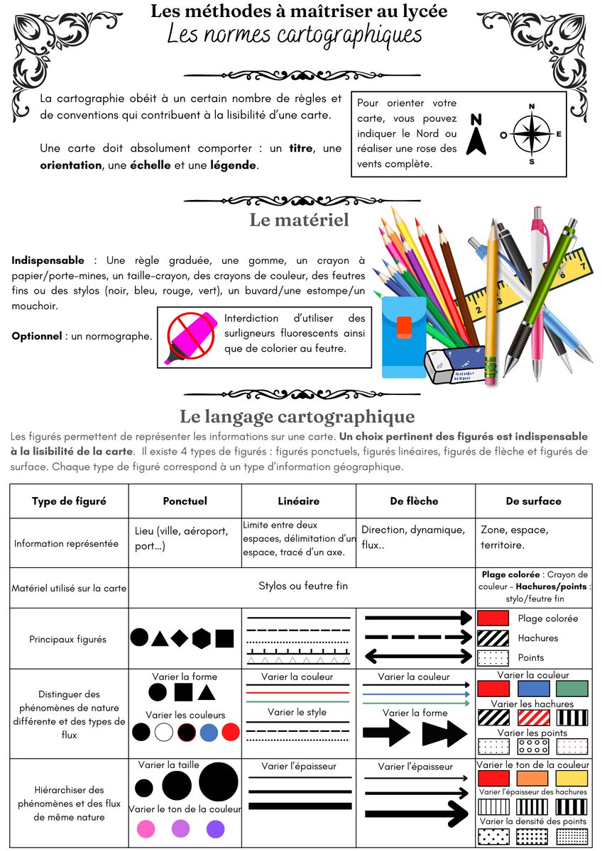
Pour continuer avec la méthodologie, j’ai retravaillé ma fiche sur la cartographie. Il reste sûrement des modifications à faire, mais je suis plutôt satisfaite. 😊
#teamhg#teamhggsp
Join us on 16th June 2022 to map Durban and support ongoing relief efforts in response to the areas affected by floods and landslides in #SouthAfrica. Over 600 tasks are open for #mapping.
Register today: https://t.co/wsNO8tF8Fc
#OpenStreetMap#OpenMappingHub#DurbanFloods
Intéressant : Quarto, le successeur de RMarkdown, permet d'exécuter directement du code Observable / D3. Merci pour cette utile ressource, ici fort bien employée !
Today we are proud to announce Dynamic World, the first near real-time global 10m land cover dataset, with @WorldResources, to quantify planetary changes and take action. Powered by @Google#EarthEngine + AI + daily @ESA_EO Sentinel-2 data.
Learn more → https://t.co/9iVvBOqI4i
For an example of how to make a media map of shifting realities, using sensible, responsible, and sensitive symbology then look no further than @sdbernard@ftdata. It's not easy to make accomplished maps this good 👏👏👏
It will see us working with local, regional & international orgs to ensure that Geographic Information Systems (GIS) and information management processes are at the heart of humanitarian operations, including preparedness, anticipatory action and emergency response activities.
Thomas Sankara only had $350 in his bank account, a cheap Renault 5 car, 4 bikes, 3 guitars, a refrigerator, and a broken freezer at the time of his death.
Its a step in right direction to see Kenya government heavily investing in capacity building of its staff in spatial technology. Space technology gives reliable information for sustainable development policy making and project operations.
@Lands_Kenya@RCMRD_ @Ebnziza1
The Emergency Events Database (EM-DAT) is now on HDX!
💡Learn how to use this reliable source of data that improves decision making for disaster preparedness
☀️ Panelist will share use cases where EM-DAT was used in conflict-driven humanitarian settings.
Find more 👇
@humdata
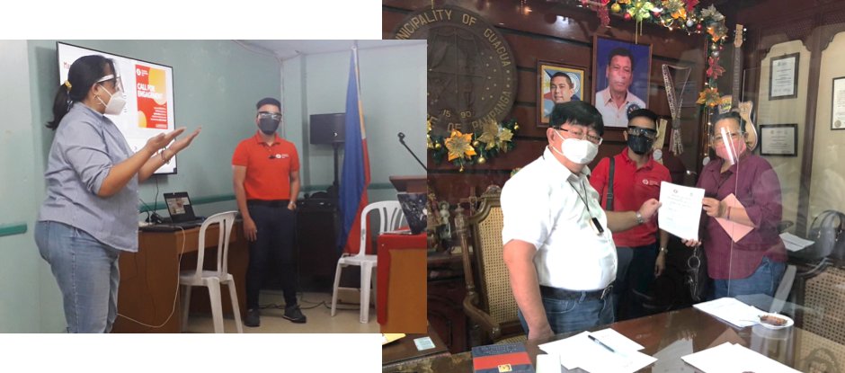
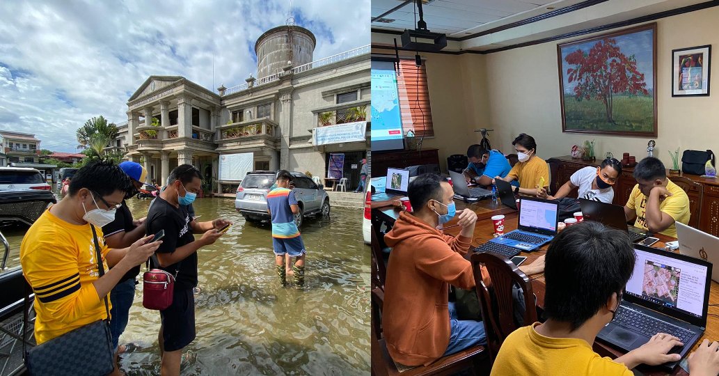
The @HOTOSM_Ph team has been adapting to @Covid19 restrictions and continuing to collect field data for the PhilAWARE disaster risk reduction project. Read about their efforts and see their photos in their monthly update: https://t.co/QbqKvWKDRG
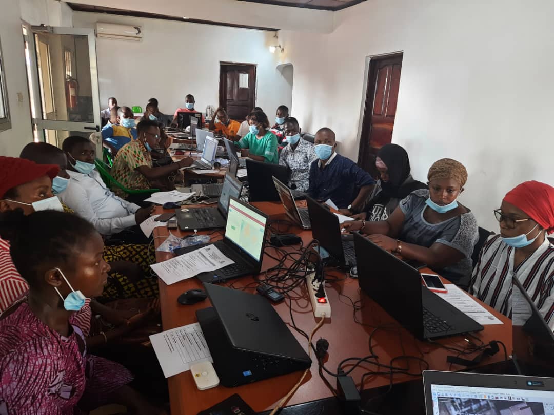
.@Youthmappper Rehema Nakibuuka shares her experience mapping border towns in #Uganda as a volunteer with a @mapuganda team supporting the national #Covid19 response: https://t.co/0GptTSbZOO
I've been doing more urban density analysis recently, an offshoot of which is producing 10km x 10km montages of towns and cities: like this set of 15 in Scotland