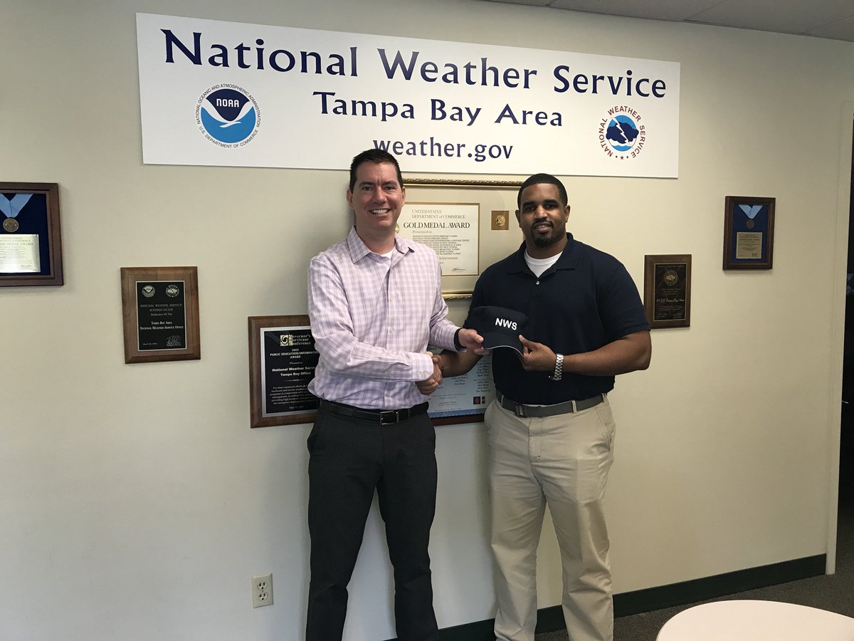
Always believe in yourself and your dreams. Never underestimate the power of patience and perseverance. Many thanks to the @NCASNews USIP, @UCARSciEd SOARS & #NOAA Pathways programs as well as the #NWS JAN & SHV offices along the way. The journey continues...
#TheeILove#USN https://t.co/6itZ4nnnDX
Sunday February 1st, 2026:
We were able to catch some of the flurries here at the office, around 4:45am this morning. ❄️
Temperatures today will only warm into the 40s and 50s. Tonight the lows are back in the 20s and 30s. Stay warm out there. 🧥
Sun rising over the Gulf Coast this morning unveils a blanket of fresh snowfall from southeast Texas to the eastern Carolinas. 🛰️☃️
For a list of snowfall and ice reports visit our latest Storm Summary: https://t.co/fql3z6p1st
The 2024 Atlantic hurricane season, which officially ends on Nov. 30, showcased above-average activity, with a record-breaking ramp up following a peak-season lull. The Atlantic basin saw:
-18 named storms in 2024 (winds of 39 mph or greater)
-11 of those were hurricanes (winds of 74 mph or greater)
-5 intensified to major hurricanes (winds of 111 mph or greater)
Read more: https://t.co/p738HfWIOq
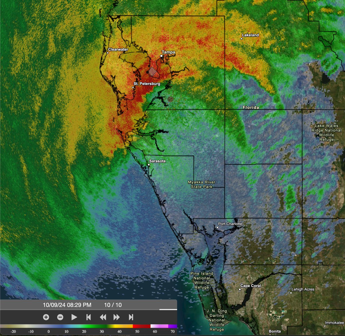
830pm EDT Oct 9th: Doppler radar data indicates that the eye of #Hurricane#Milton has made landfall near Siesta Key in Sarasota County on the west coast of Florida.
Max sustained winds at landfall are estimated at 120 mph.
Landfall TCU: https://t.co/YUc7mT6LuJ
11:20pm EDT 26th September -- #Hurricane#Helene has made landfall in the Florida Big Bend region at around 11:10pm EDT just E of the mouth of the Aucilla
River.
Max sustained winds at landfall were estimated at 140 mph & a min pressure of 938 mb.
Info: https://t.co/1OTHyJkqja
(1/6) Today marks the 25th anniversary of the May 3, 1999 tornado outbreak. The most infamous was the violent, long-lived tornado that persisted 1 hr 22 minutes & left a 37 mile trail of destruction from Amber to Midwest City with F5 damage in rural OK and OKC metro.
#okwx
(1/4) #OnThisDay 50 years ago, one of the most destructive and deadliest tornado outbreaks in U.S. history struck parts of 13 states in the central and eastern U.S. and Ontario, Canada. Learn more about the Super Outbreak of April 3–4, 1974: https://t.co/bq9X9Ov6DP @NWS@NOAA
Fifty years ago today, The Super Outbreak of tornadoes of 3-4 April 1974 occurred over the central/eastern US and it remains the most significant severe weather episode on record in the US. This thread will look at forecasts from that day and how severe forecasting has evolved.
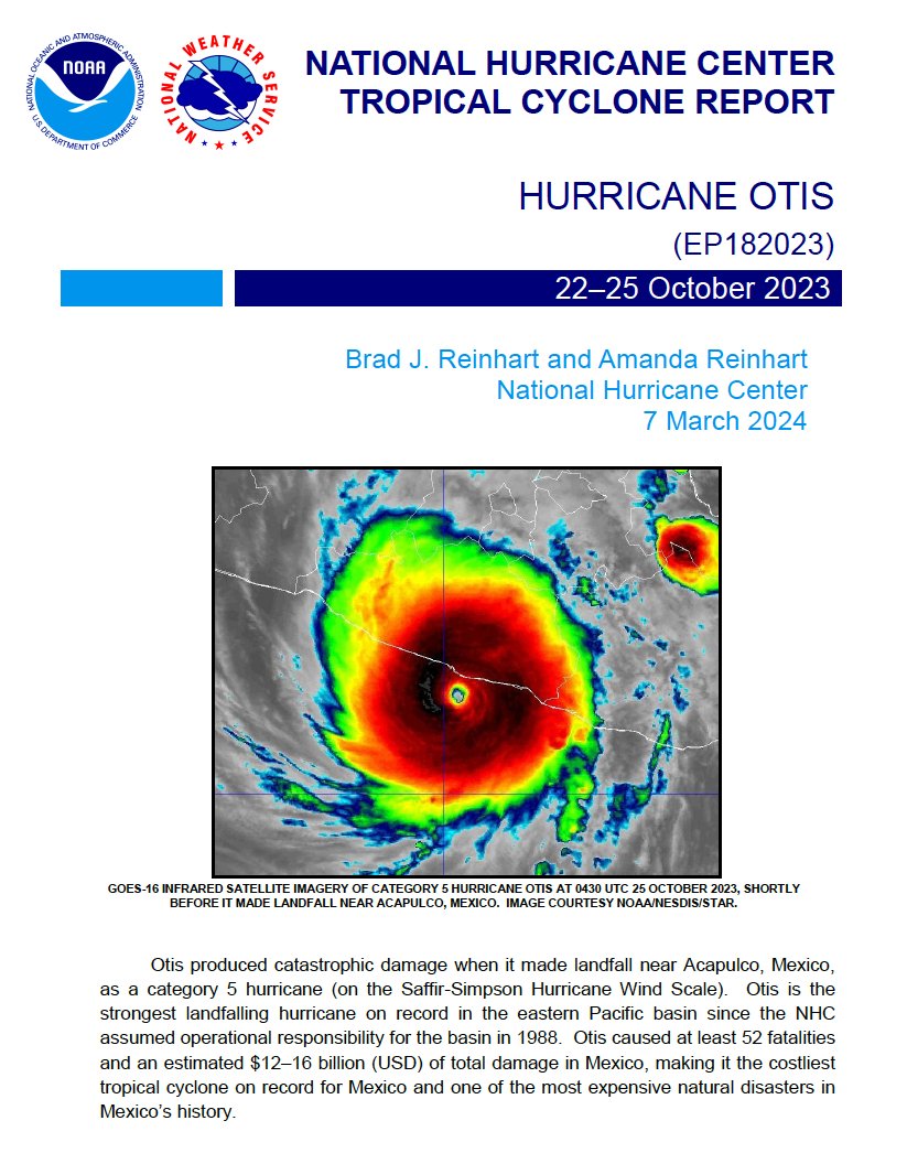
NHC has released the Tropical Cyclone Report for Hurricane #Otis (October 22-25, 2023). Otis produced catastrophic damage when it made landfall near Acapulco, Mexico, as a category 5 hurricane.
https://t.co/M97xIFOAyN
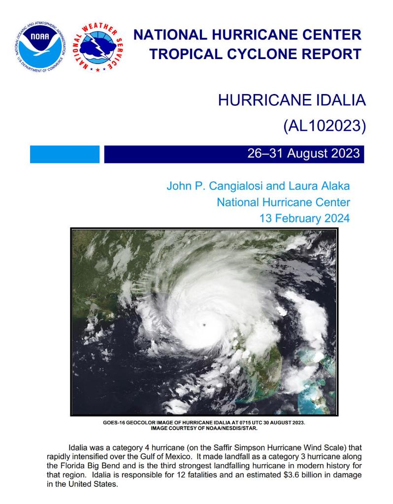
NHC has released the Tropical Cyclone Report for Hurricane #Idalia (August 26-31, 2023). Idalia reached category 4 strength over the eastern Gulf of Mexico and made landfall as a category 3 hurricane along the Florida Big Bend near Keaton Beach.
https://t.co/He1Sx8vvM8
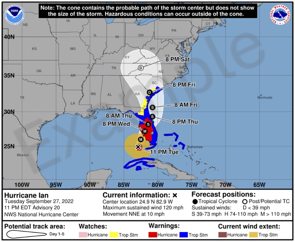
The National Hurricane Center will begin issuing an experimental Tropical Cyclone Forecast Cone Graphic on our around August 15, 2024, that includes inland tropical storm and hurricane watches and warnings for the continental U.S.
Read more here: https://t.co/zHGVE26Avz
The final Monthly Weather Summary for the 2023 north Atlantic hurricane season has been issued.
The season was above-normal in terms of the number of named storms (20), but more normal in terms of hurricanes (7) & major hurricanes (3).
Info: https://t.co/dEg6cZMbNm
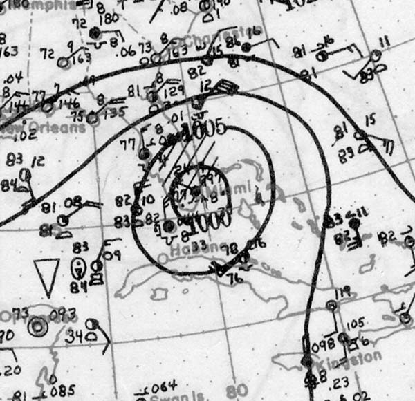
95 years ago, the contiguous United States' 2nd deadliest tropical cyclone made landfall in West Palm Beach as a Category 4 hurricane. The 1928 Okeechobee Hurricane caused catastrophic loss of life and property, especially around Lake Okeechobee.
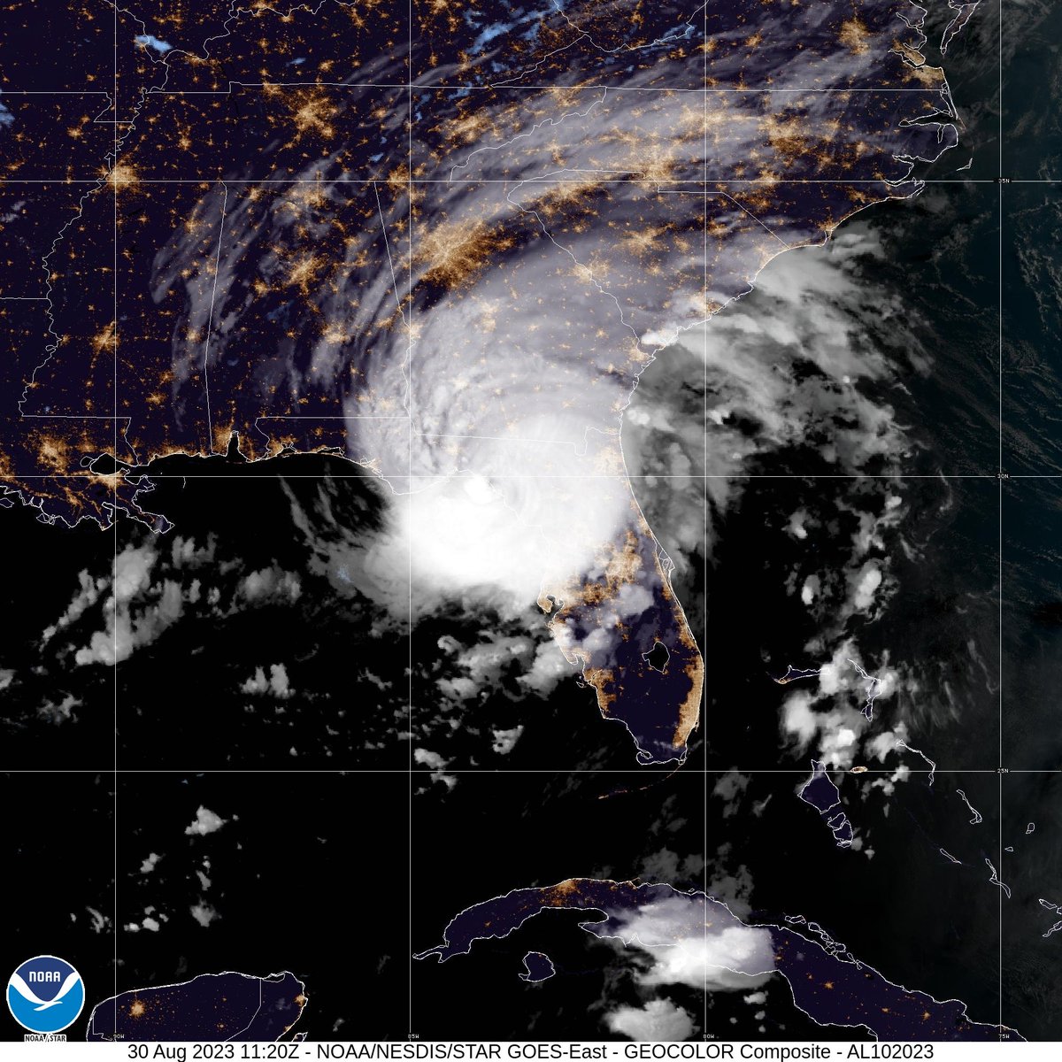
7:45 AM EDT update: Extremely dangerous Category 3 Hurricane #Idalia makes landfall in the Florida Big Bend. Maximum sustained winds were estimated to be 125 mph. Catastrophic storm surge and damaging winds ongoing.
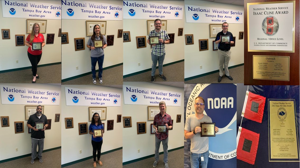
Several of our employees (and one former employee) won a 2022 National Cline Award for Outreach! This award was presented for developing a collaborative, multi-agency video series to transform public understanding of historical hurricane impacts for Tampa Bay communities.
Almost two decades: Hurricane Charley made landfall on southwest Florida 19 years ago today on Friday August 13, 2004.
The cone of uncertainty: A social media blog on risk and threat understanding. Have we learned more about assessing risk? 1/24
https://t.co/9LFgQospbK