@spann Take a long nap. We will need you up for weather around 1:00 am. Our son is in Oxford Mississippi and the weather has been scary this evening. Still is.
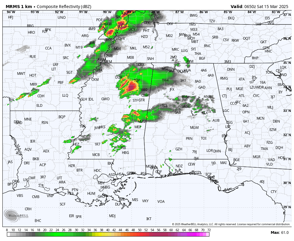
2AM UPDATE: A severe thunderstorm with a possible tornado is near Okolona MS, and will move into northern Lamar and western Marion counties of Northwest Alabama around 2:45-3:00a CT. Here are the key messages for the next 24 hours...
*Severe storms are possible early this morning through 8:00 a.m. for the western half of Alabama. There is no severe threat for the eastern counties; the air is drier and stable there.
*An isolated tornado or two is possible across West Alabama for the next several hours; a tornado watch is possible from SPC.
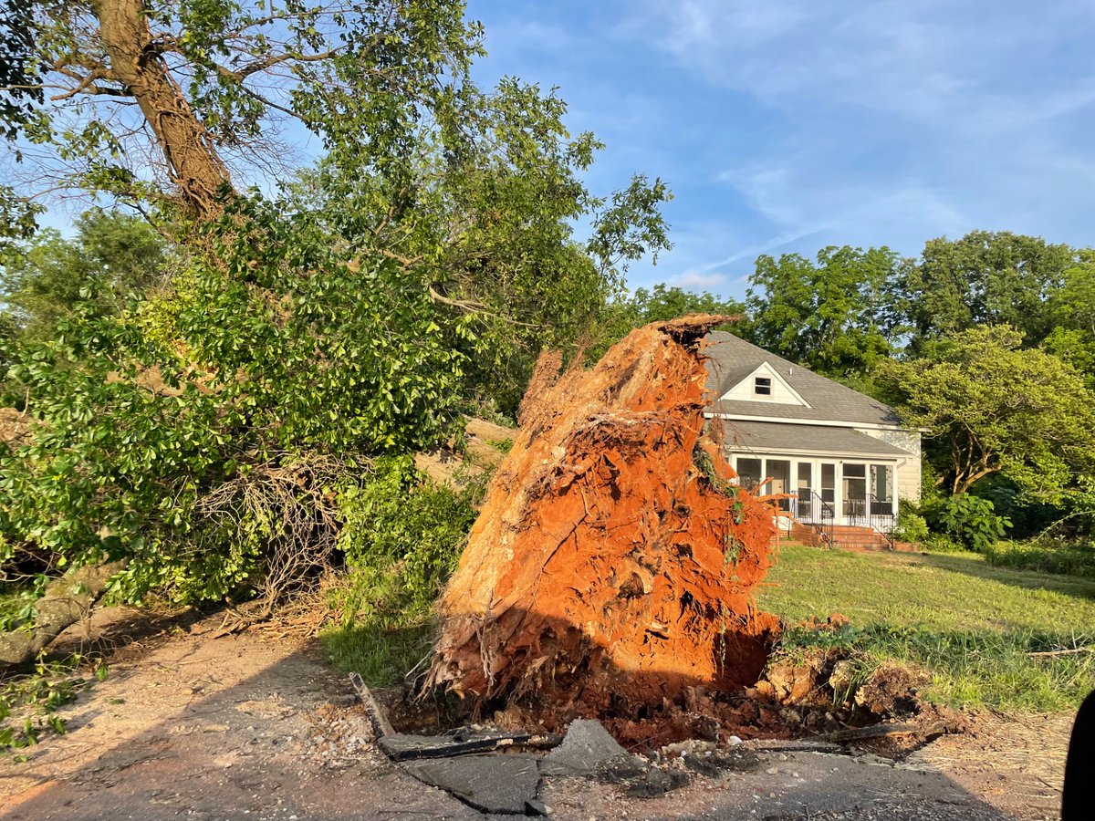
*The greatest concern is "round two", which comes from roughly 11:00 a.m. until a little after midnight. During this time a few violent, long track tornadoes will be possible anywhere in Alabama.
*Everyone will need to be in a position to hear tornado warnings today. In your safe place, have helmets for everyone. If you live in a mobile home, know the location of the nearest shelter (or business that is open 24/7 that can serve as a shelter), and have transportation available.
@spann our son is in Oxford MS. Any news from there? Tornado on the ground within 20 minutes of his residence in Pontotoc per local sources but no reports from Oxford.
@HomesteadRescue I prayed for Chanda and her children. She is a strong woman living through a heartbreaking time. I tried to find her Peachicks for sale and would love the link to buy from her please.
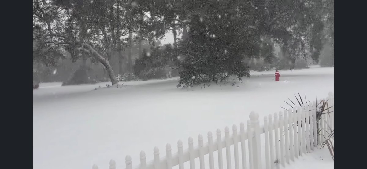
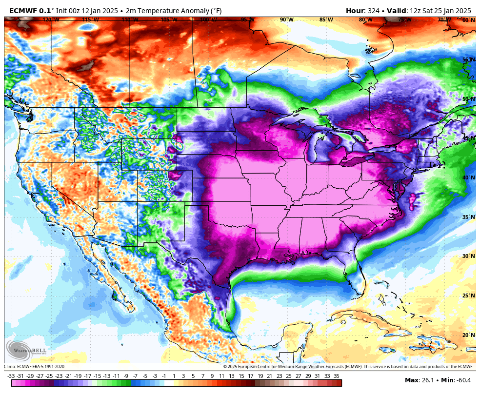
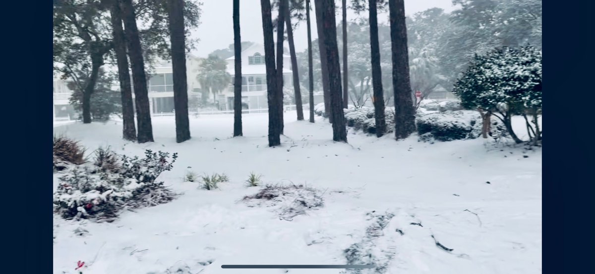
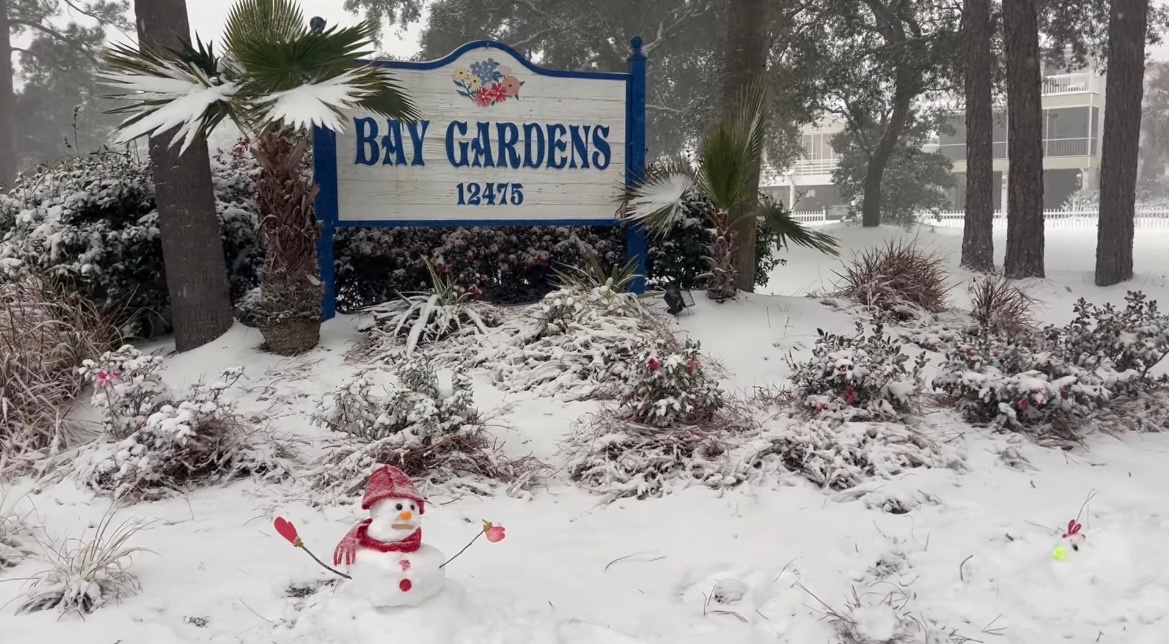
HERE WE GO AGAIN? The next shot of very cold air begins to move into the Deep South one week from today, and some global models are hinting at more "winter mischief" around January 20-21. A few important notes...
*There is certainly no skill in forecasting a winter storm in Alabama 8-9 days in advance, but there is skill at pattern recognition. Could the pattern produce another winter storm? Sure, but there is no way of knowing details now.
*The "model snow maps" you will see plastered all over social media from deterministic model output mean nothing over the next few days. Deterministic runs will flip and flop like a fish out of water in the 7-10 day range. Remember, "think before you share".
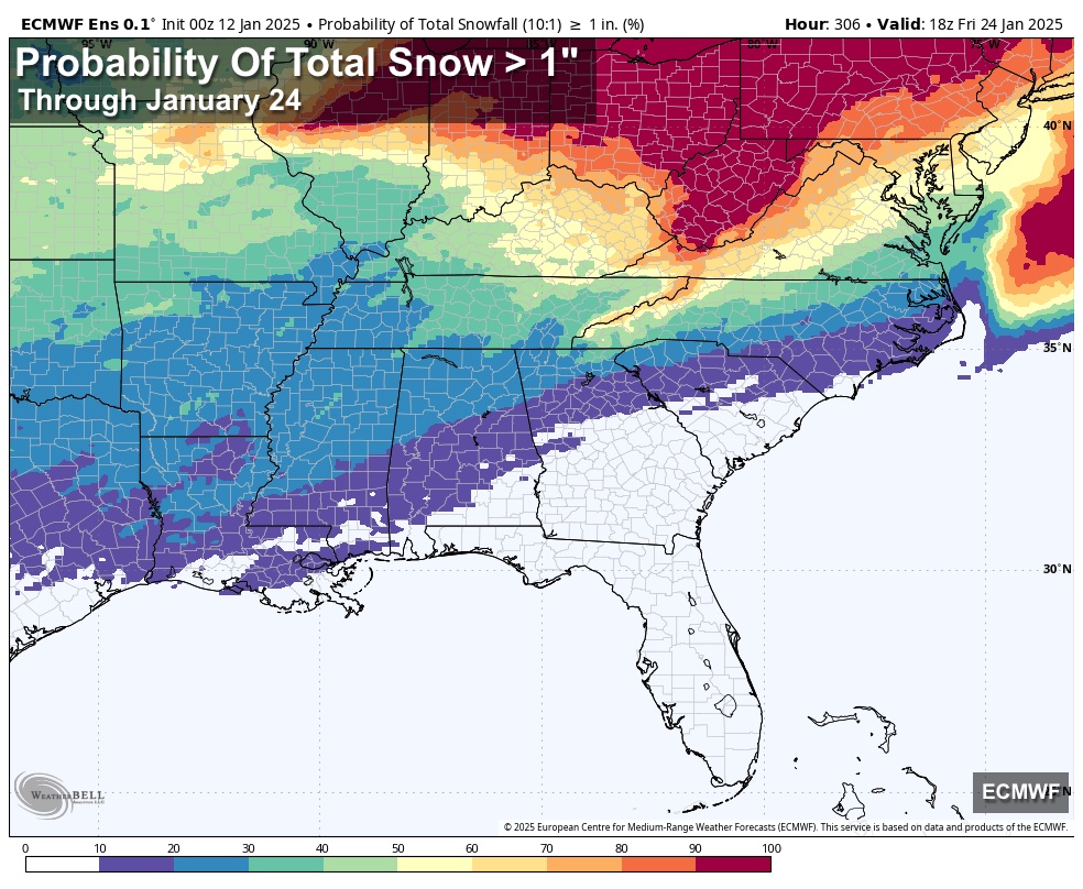
*The only logical way to look at it now is from ensemble probabilities. I have attached probabilistic output from the European global model, showing the chance of one inch or snow or greater through the next couple of weeks for you.
*The pattern looks very cold for the last ten days of January. How cold? Still too early to know.
Stay tuned.













![spann's tweet photo. BMX issues Tornado Warning [tornado: RADAR INDICATED, hail: <.75 IN] for Macon [AL] till 3:30 AM CST https://t.co/sa382oPL5D https://t.co/GO0RDCYkNi](https://pbs.twimg.com/media/Gj5ZOgsWYAAdmXF.png)
![spann's tweet photo. BMX issues Tornado Warning [tornado: RADAR INDICATED, hail: <.75 IN] for Lee, Tallapoosa [AL] till 3:15 AM CST https://t.co/0hE5tLIZin https://t.co/GNmMtPN6Et](https://pbs.twimg.com/media/Gj5YAtJWwAAYLBQ.png)