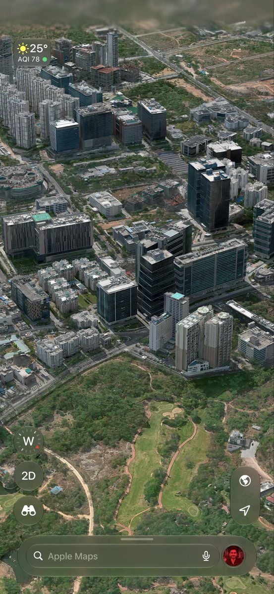
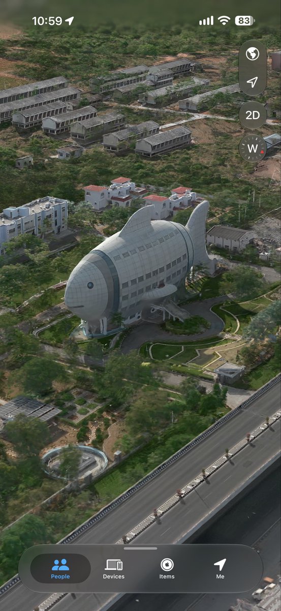
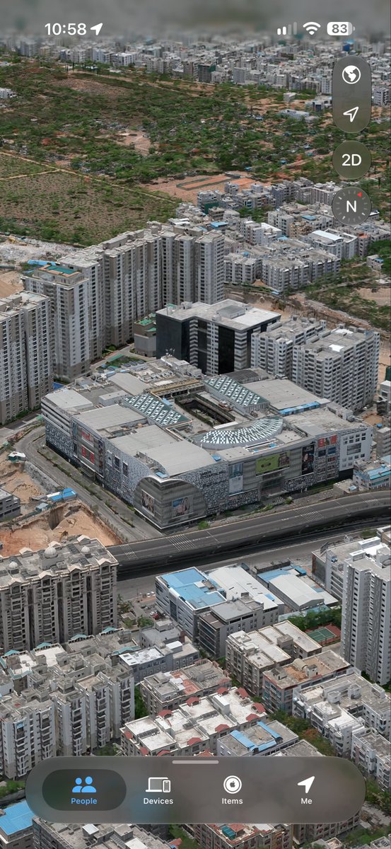
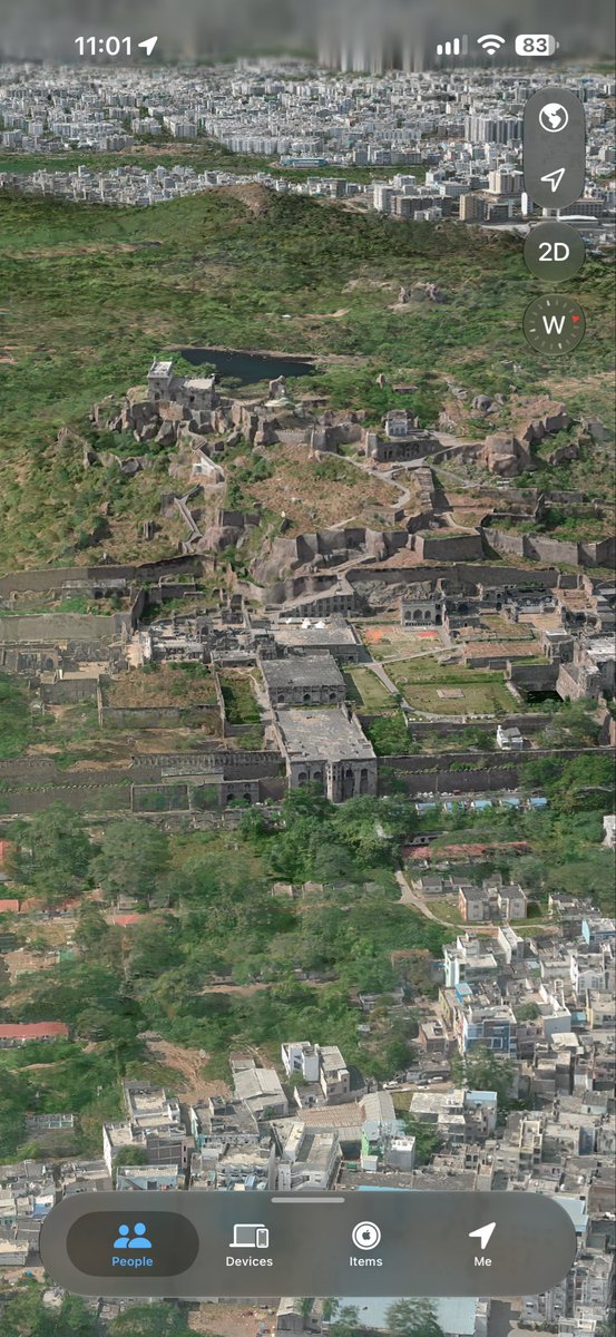
@ShamsheerShahul Open Apple Maps, switch to Satellite view, and zoom in. then swipe up with two fingers to tilt the view. If it doesn’t work, Availability may vary by device
Hyderabad from a whole new perspective! 🤯🇮🇳
🏙️ Financial District
🛣️ ORR Entry Skyline
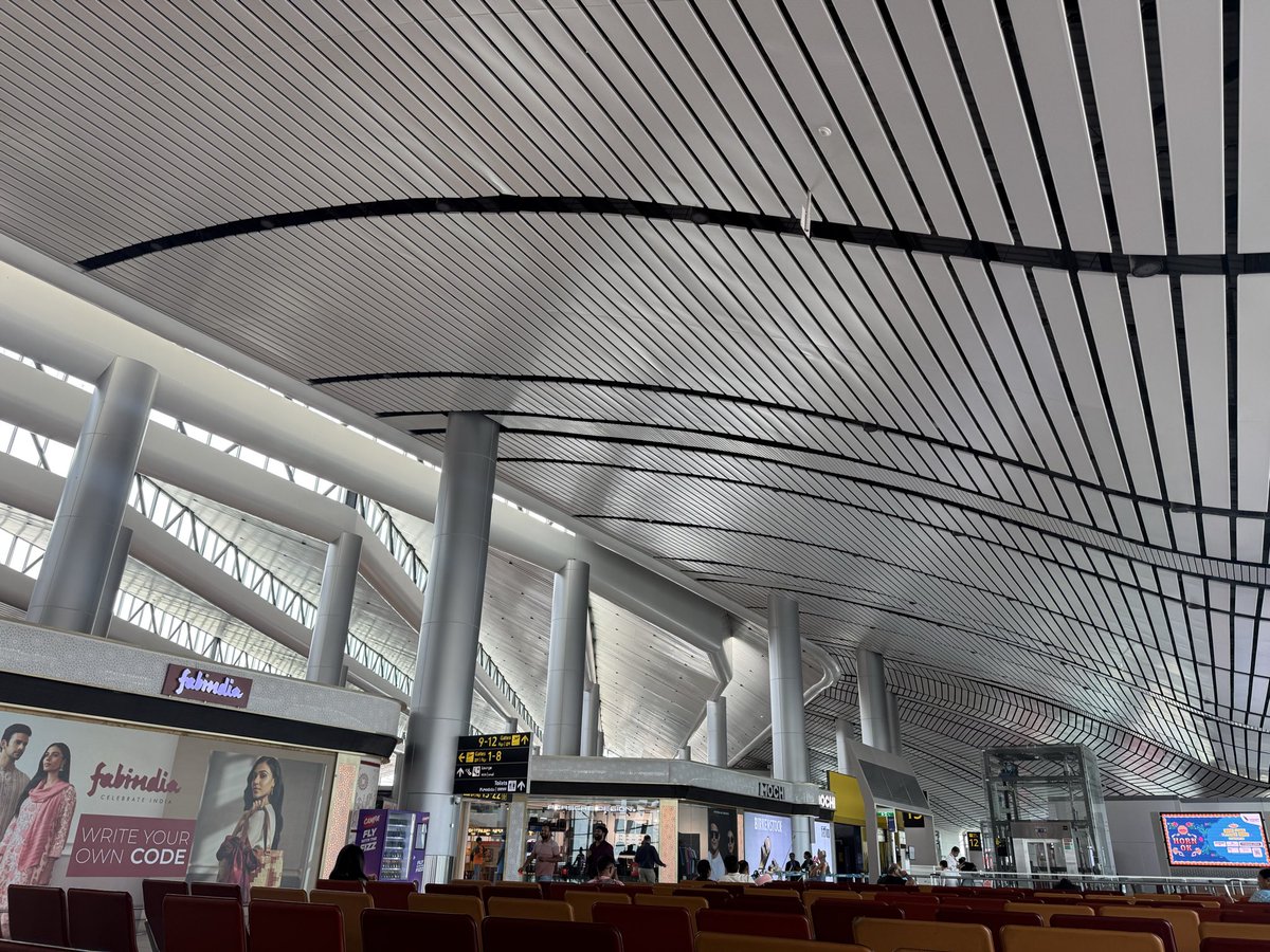
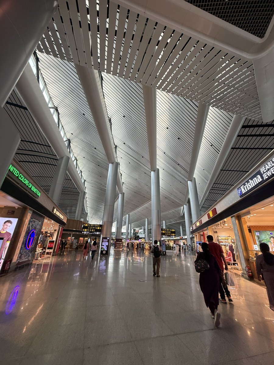
✈️ Rajiv Gandhi International Airport
👑 Falaknuma Palace
All captured in Apple Maps 3D! 🛰️
The airport metro corridor along the ORR, connecting the CBD to the airport, would be a game changer for Hyderabad! 🚇
Hyderabad looks unreal in Apple Maps 3D 🤯🇮🇳
RGI Stadium 🏟️
India’s Largest mall 🛍️
The iconic Fish Building 🐟
Golconda Fort 🏰
Which one looks the most impressive?
@watARSHmelon@RPatashala This post needs more reach! Dense metro to IT corridors is a must. BHEL–Lakdikapul, Blue Line to Neopolis via DLF 🙏 , West Airport Metro — all game-changers! 🙌