Here is the NOAA SWPC WSA-ENLIL model containing at least the M9.5 and X1 CMEs. We may expect to see an arrival around 18 UT tomorrow which is around lunchtime here in the U.S. Currently, G3 / Kp 7 conditions are predicted, but we'll see what happens!
100K on Facebook.
More than 20 MILLION views in the last month alone.
Thank you for trusting me to keep you updated during Colorado’s biggest weather days — from snowstorms and tornado warnings to wildfire danger and everything in between.
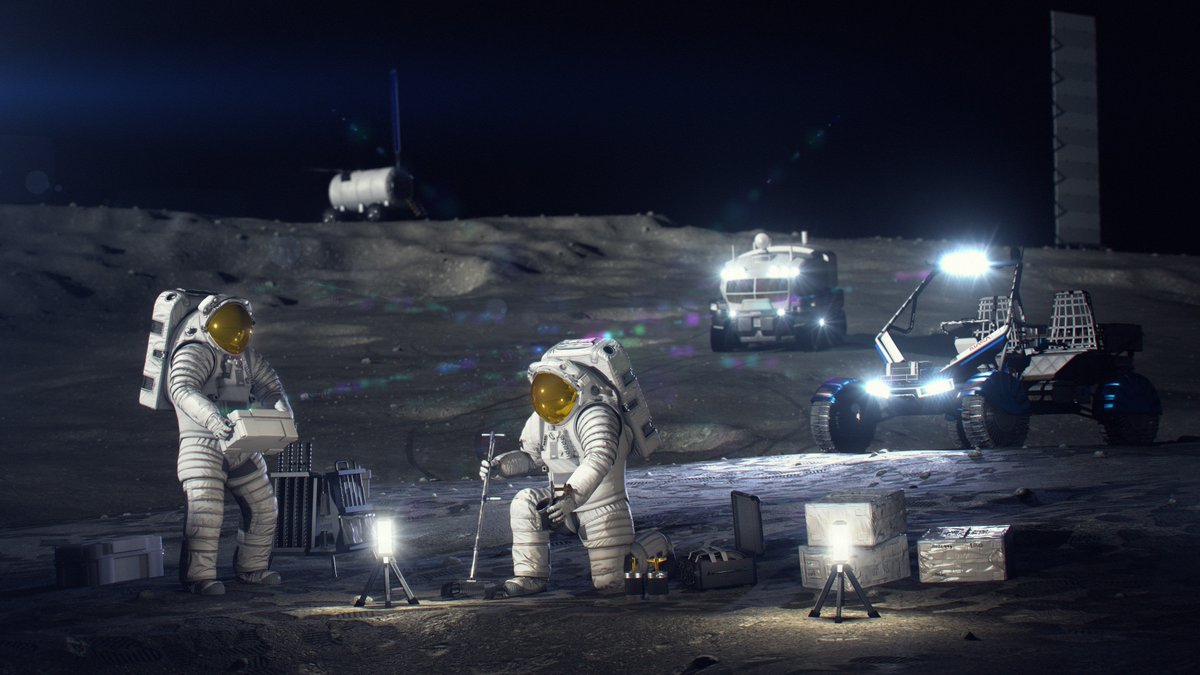
We're building a Moon Base!
@NASAMoonBase will serve as a habitat where astronauts live and work during long-term science missions.
Join us at 2pm ET on Tuesday, May 26, for a live news event where we’ll share updates on our lunar exploration plans: https://t.co/IJXA7xYwju
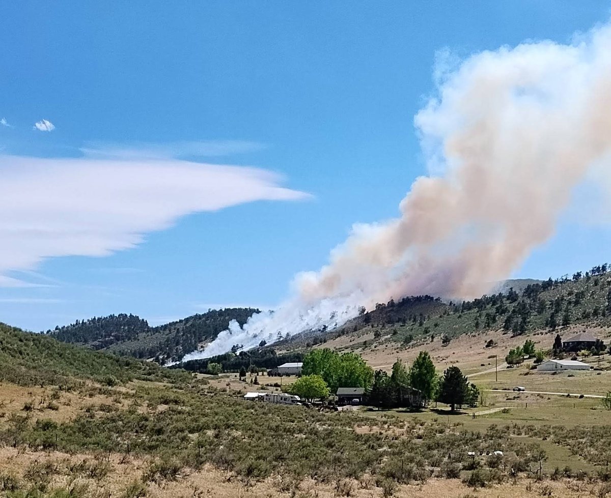
1-minute Visible and Shortwave Infrared images from @NOAASatellites#GOESEast (#GOES19) showed a fast-moving grass fire that prompted the issuance of an Evacuation Immediate order for residents near Campo in far SE Colorado. More: https://t.co/rj2h6b8Iwt #COwx@NWSPueblo
Smoke is visible east of Denver this afternoon.
🔥🔥🔥
This FAA camera image from Colorado Air and Space Port shows a smoke plume near Bennett around 2:34 PM.
No confirmed acreage or containment info yet.
What are you seeing east of the metro?
Incredible example of wind shear in the atmosphere over the Colorado front range today. Convective precipitation is moving east to west in a lower layer of the atmosphere as stratified precipitation moves west to east above. This is a relatively rare visual of a wind shear profile traced through precipitation echoes on radar.