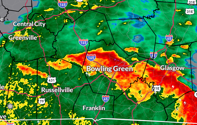
Unprecedented rain totals over the past 5 days. We’ve received numerous readings over A FOOT; most of those coming in from Butler County, in particular.
Peak out far west KY…nearly 16” in Marshall County! 🤯🤯🤯
Currently @ehatt493 is working up a new blog post for y’all to put all of this into perspective from a historic standpoint.
Tornado Warning including Portland TN, Westmoreland TN and Walnut Grove TN until 5:15 PM CDT. Seek Shelter!
We’re tracking this LIVE now: https://t.co/NKmtkB5Shj
⚠️ Not mincing words when we state this…catastrophic flooding scenario is unfolding for many across the region. WPC has us in a High Risk for excessive rainfall. Numerous rounds will continue today thru Saturday.
We can’t stress enough that if you live in flood-prone areas or along waterways to relocate until this seemingly never-ending-system finally exits the area late in the weekend.
@wxornotBG@landonhampton_ I will never forget this post made on this night. It was this psot that sent me, my baby and dog to the bathroom to shelter in place as it was headed to my side of town. We were a less than a mile from the shell station out by corvette museum.
7:01pm: All warnings allowed to expire, but some gusts up to 50 along with some much needed rain will be possible as these storms continue to push to the north and east.