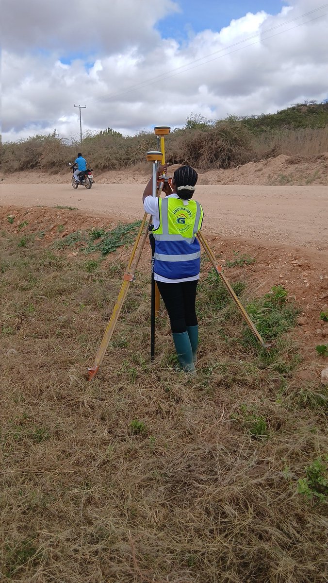
2D UAV lidar data processing in #Arcgis Pro and #Civil3D. In arcgis, the orthomosaic is georeferenced with the measured GCPs to ensure the marked crosses and the measured points coincide dead-on. The orthorectified image has less geometric distortions and is true to the ground.
What deliverables can we get from Aerial Lidar UAV mapping using DJI Matrice M350 and L2 sensor at the preprocessing stage?
1.3D Models and Orthomosaics
2 &3.Colorized lidar point clouds
4. Digital Elevation Model (DEM)
Processing was done in Drone Deploy cloud.
#LIDAR#DJI
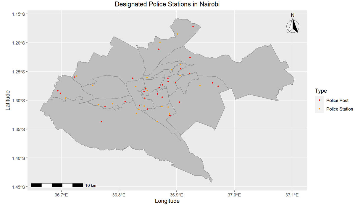
29/05/2024.I created these two maps using R but focusing on two different packages (ggplot and tmap). 1st slide is with ggplot and 2nd slide is tmap. Both packages offer distinct advantages when it comes to #map making.
However,ggplot is my favourite 🙂.
#geospatial#rstats
Developed a GEE tool for monitoring #MSAVI, #EVI, #NDVI indices in central Kenya! This tool provides vital insights into vegetation health, water availability, and land management, and researchers to make informed decisions. #GeoTech#SDG's #Kenya#EarthEngine#GIS
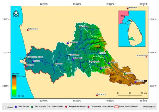
The Assessment of #Climate_Change Impacts and #Land_use Changes on #Flood Characteristics: The Case Study of the Kelani River Basin, #Sri_Lanka
Full access: https://t.co/RROMjQYEcv
by Jayanga T. Samarasinghe, Randika K. Makumbura et al