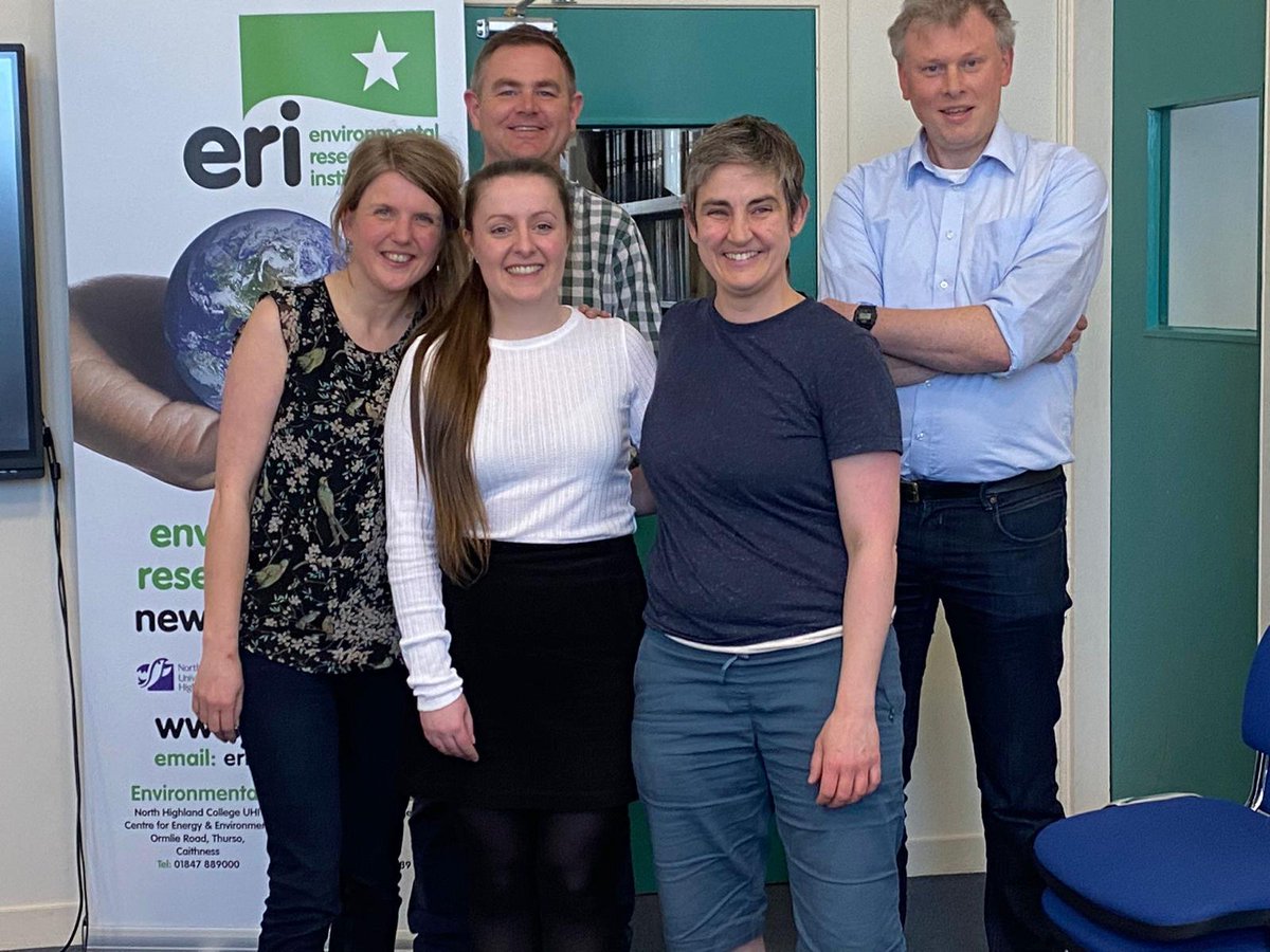
I am thrilled to say that I passed my viva on Friday!
Thank you so much to my examiners @jon_seabirds & @StevenBenjamins for making it a great experience and for a really interesting discussion.
We've launched a NEW workflow!
Help monitor kittiwake nests in Scotland, with images from new, long-range cameras, developed by @timelapsefilms@RSPBScience. These images should allow a better view into nests to spot chicks 🐣
➡️https://t.co/OCSZAux93t #ornithology#citsci
🚨I am delighted to share my first, first-author paper!
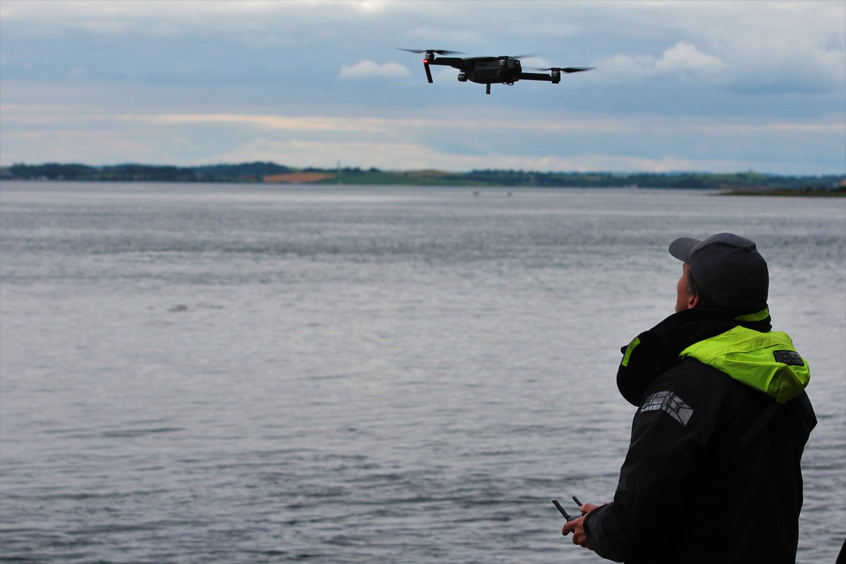
This work compares data collected from vantage point and #drone surveys to assess the effectiveness of #drones for assessments of #seabird abundance and distribution.
https://t.co/7AU1UlnKdq
@BrydenCentre_EU@ERI_UHI
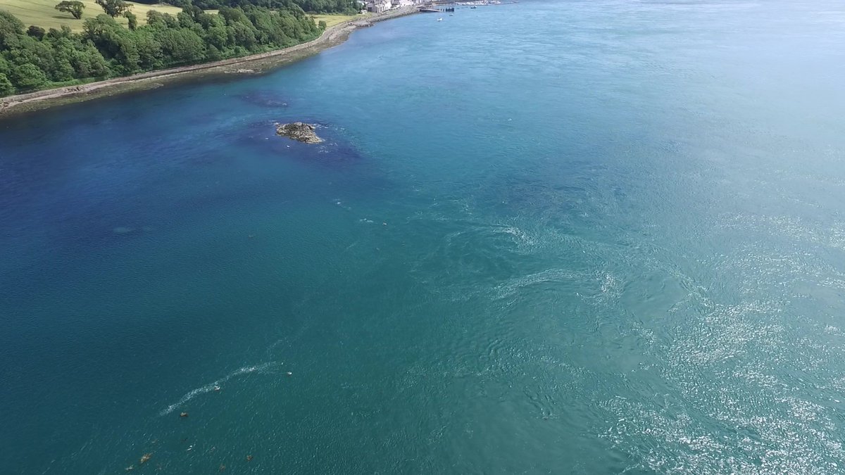
🫧NEW PAPER by @CostagliolaRay comparing #seabird numbers & distributions using vantage point and aerial #drone surveys. Distributions linked to tidal cycle & hydrodynamics (eg shear lines): https://t.co/TP9R5pN4Hu @AlexNimmoSmith@Nina_OHanlon @eamasden @PaulCaplat @wilsonjaredm
4/4 #WSTC8#ToolSesh
We also aim to uncover particular scanning protocols observers can adopt to ensure that counts of #seabirds are as accurate as possible. For example, changing the speed at which observers scan and the direction of scans (i.e. with or against the current).
1/4 #WSTC8#ToolSesh
Land-based vantage point (VP) surveys are a widely used method of collecting #seabird abundance and distribution data for environmental impact assessments. However, VP surveys are prone to biases due to detectability issues.
3/4 #WSTC8#ToolSesh
This work will use individual-based modelling (IBM) to assess the influence of different dive times of #seabirds and different current speeds (high, medium, & low) on the accuracy of seabird counts made by observers undertaking traditional VP surveys.