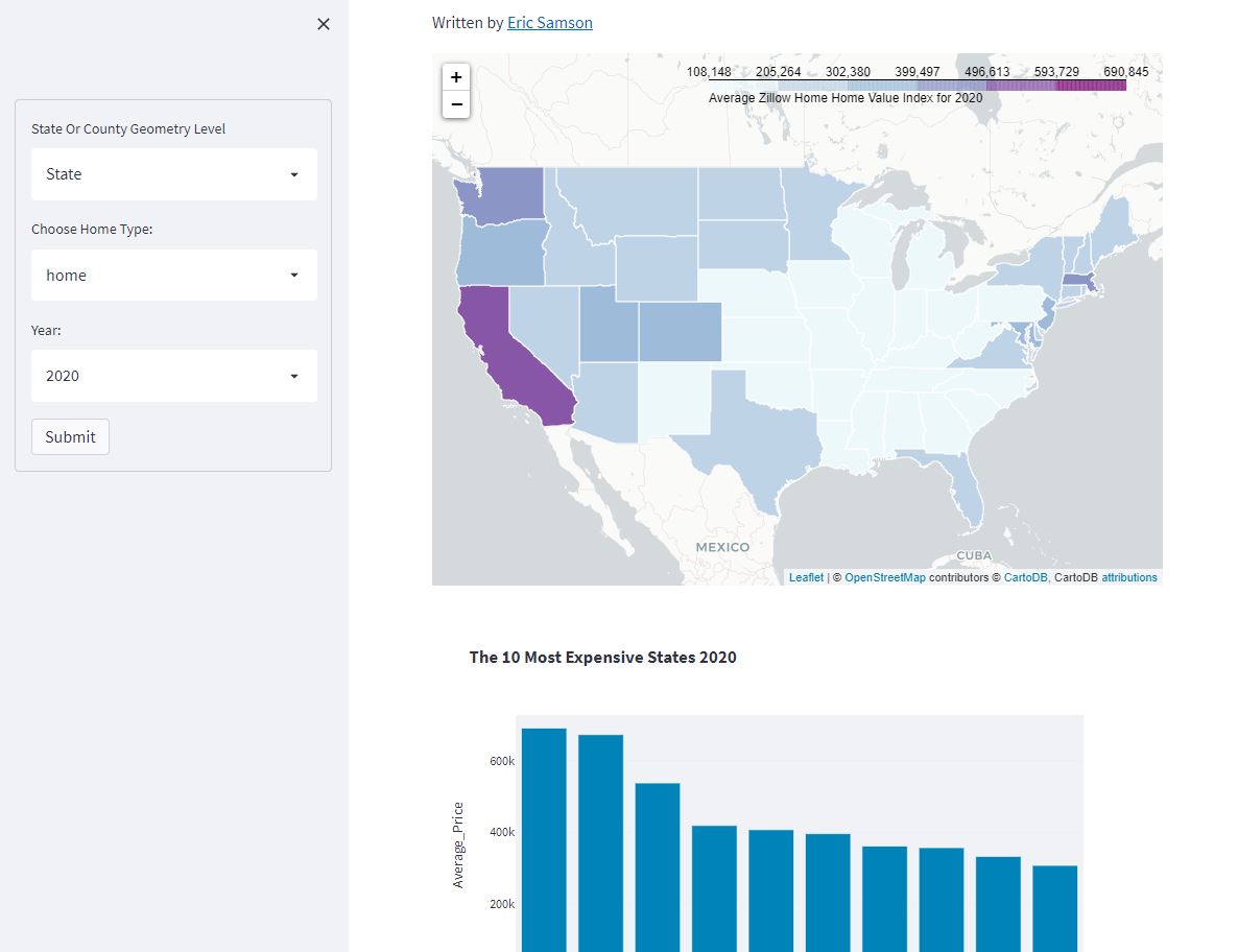
Created my first streamlit app that visualizes Zillow's ZHVI data using folium and geopandas. Can't wait to build more!
You can check out the app live here: https://t.co/gY1SlhFeIF
@MapMakinMeyers I’ve had issues with this before as well. Selecting all of the features within the geopackage layer, then exporting has fixed this for me in the past
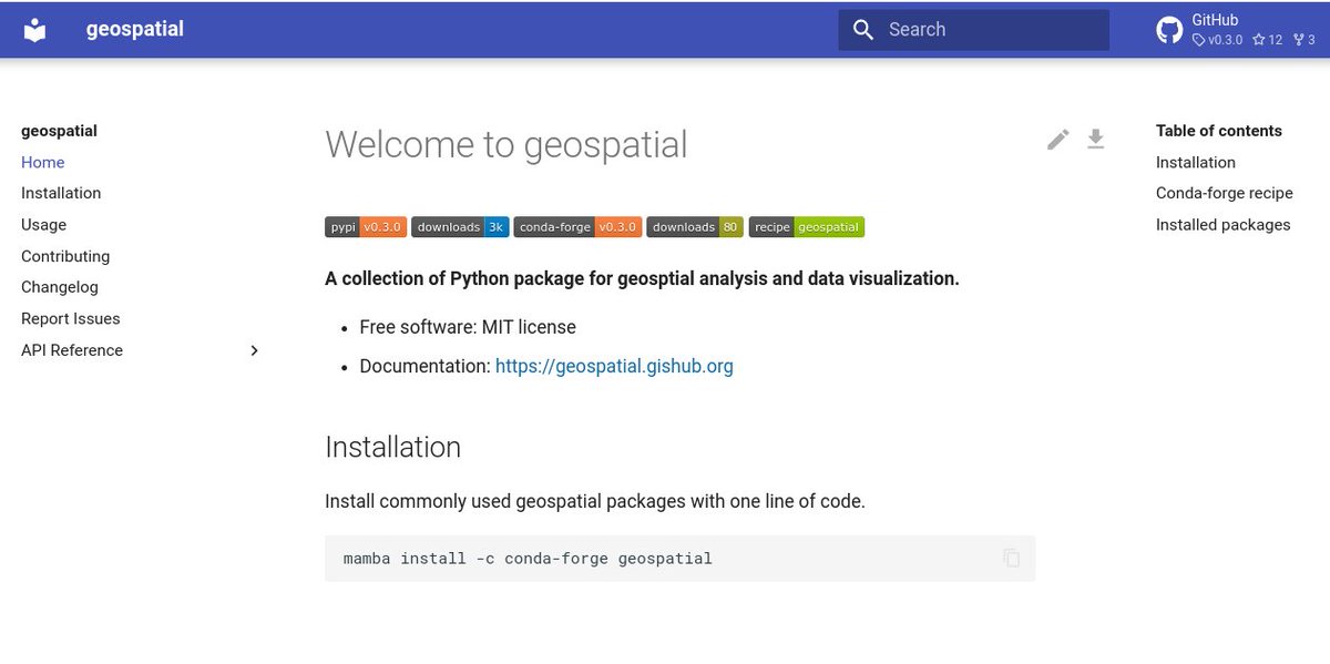
Introducing a new #Python package named geospatial 🚀Installing commonly used Python package for #geospatial analysis and #dataviz with only one line of code. Let me know your fav package, and I can probably add to it
GitHub: https://t.co/i7aJ1OW93p
Docs: https://t.co/Nms2EcZ9yi
I'm a little mapping library that was born 11 years ago in Ukraine. 🇺🇦 Yesterday, after enduring 8 years of hybrid warfare that killed 15000+ and displaced millions, Ukrainians listened to a 40-minute hate speech from Russia's insane president on why Ukraine shouldn't exist. 1/4
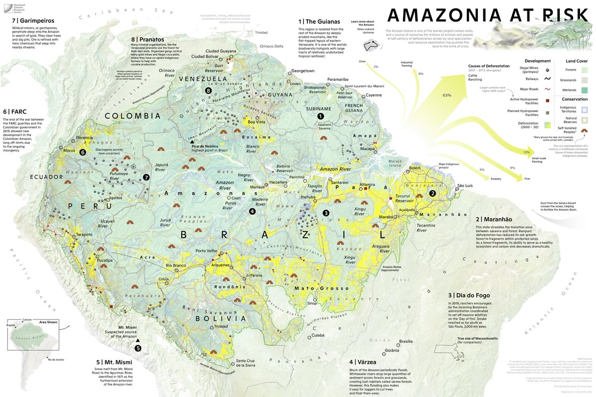
So excited to share a (downsized for twitter) #map I have been working on, with illustration work by @The_Ruizium. A picture of the #Amazon region in crisis. Not only the struggle to deal with #deforestation, but its geography, cultures, and political divisions.
#Colorado’s #MarshallFire—the most destructive wildfire in the state’s history—was precipitated by ample vegetation recently under extreme drought conditions.
@GeoScienceSara reports: https://t.co/zMGhodCfqC