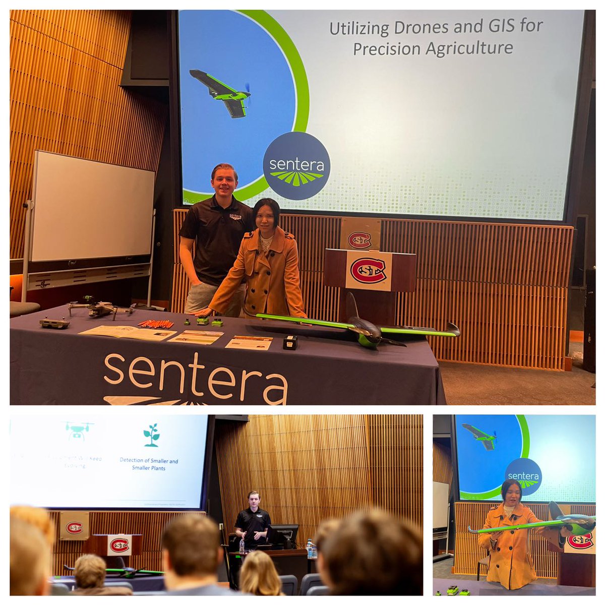
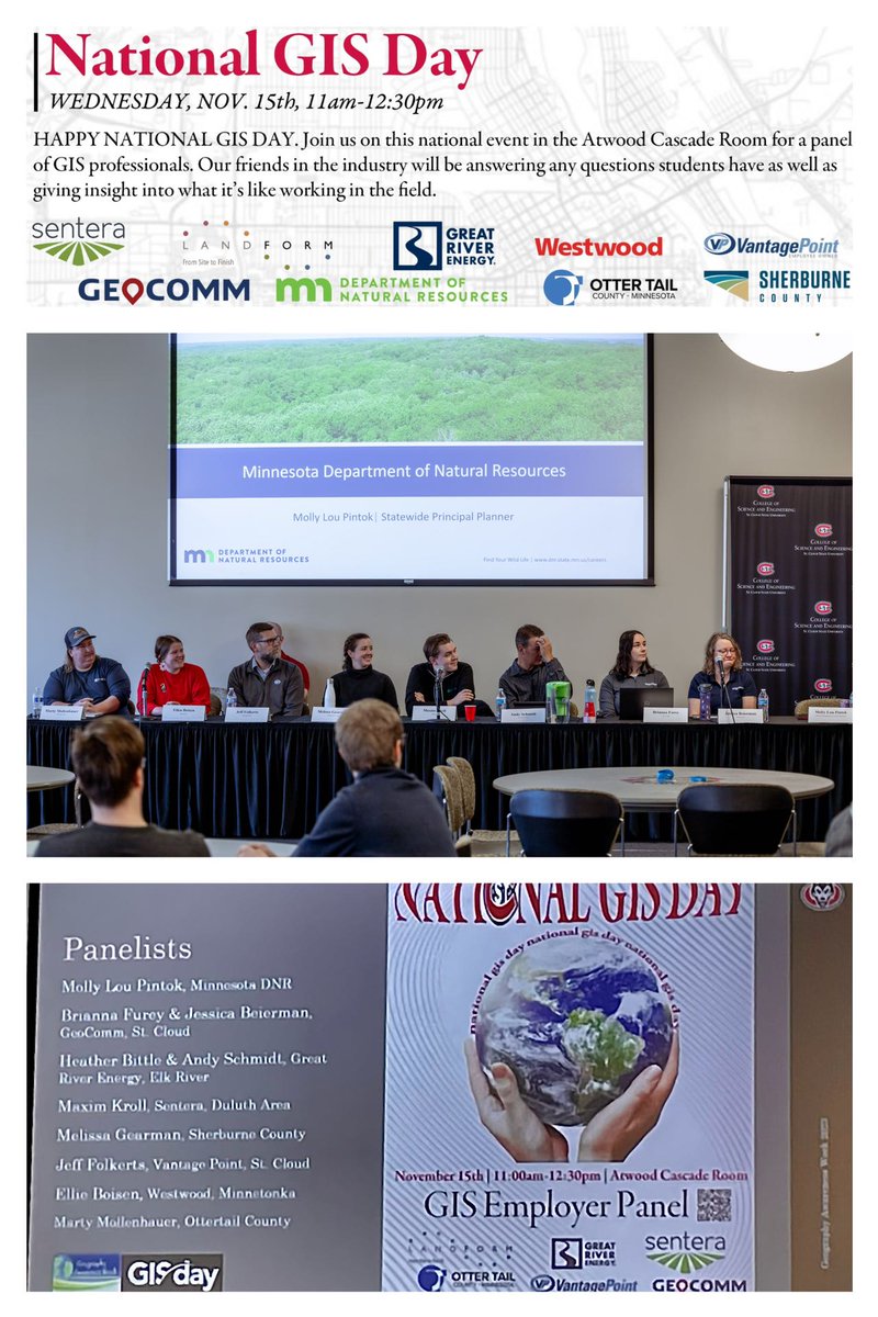
Our #gisday was a resounding success! I'm excited about our connections with local government and industries. Looking forward to future collaborations in #UAS#drone#GIS applications.
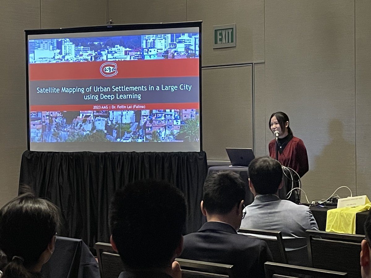
It was an exciting experience to present my work "Satellite Mapping of Urban Settlements using Deep Learning" at the #AAG2023 conference and meet scholars from various fields. Proud that our students also did their posters at the conference #DeepLearning#GIS
I thought nobody read my paper, until it got nominated and won 3rd place for the 2023 Esri Award for Best Scientific Paper in GIS. The award will be presented at 2023 @ASPRSorg Annual Meeting. It was a surprise. I feel deeply honored and motivated.
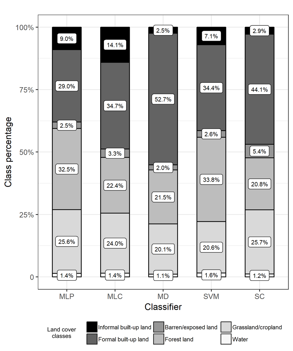
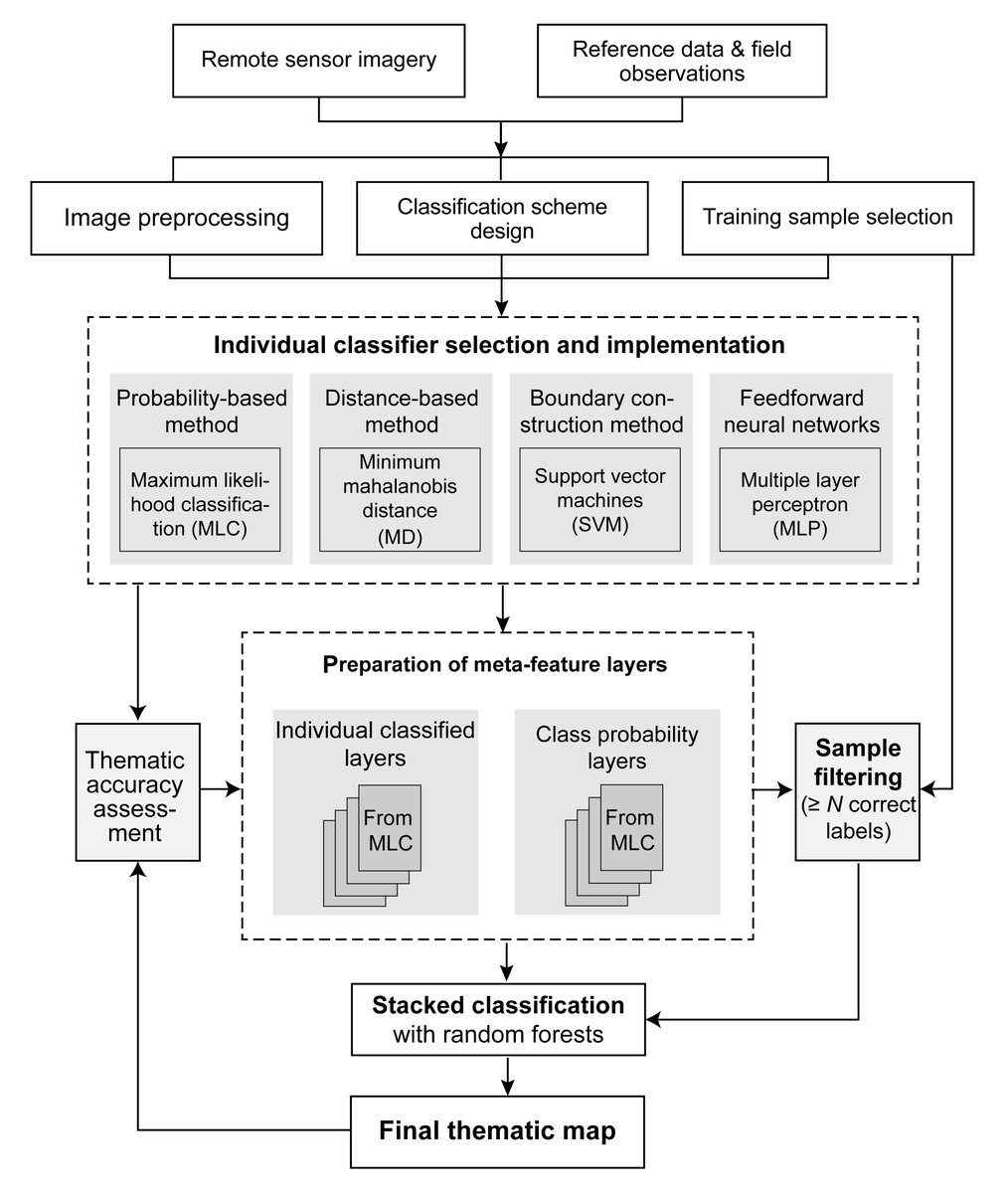
Glad to share my recent paper as the lead author in Photogrammetry Engineering & Remote Sensing (https://t.co/udUiVZSBfO), which proposed a training sample filtering technique for classifier ensemble to enhance land cover mapping accuracy. (GitHub: https://t.co/NK4fEcClmy)
Today I had the honor of inviting Austin Bush to talk about his #UAS#drone work with @EMHS_FSU for the 2020 Walton County Wildfire and 2021 Surfside Condo Collapse. UAS has shown great promise for EM as well as urban research. Looking forward to future collaborations.
I just joined a crew and went out in the field for a flight this morning. Very excited about how this project could be used for a graduate student’s thesis and what the county office is interested to know.
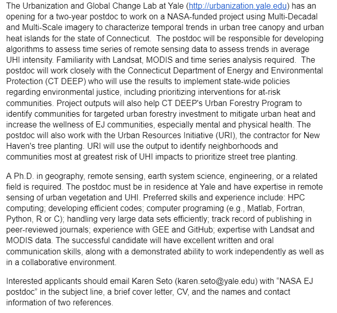
The Urbanization and Global Change Lab at Yale has an opening for a two-year postdoc to work on a NASA-funded project to characterize temporal trends in urban tree canopy and UHI in Connecticut.
Interested applicants please email Dr. Karen Seto ([email protected])
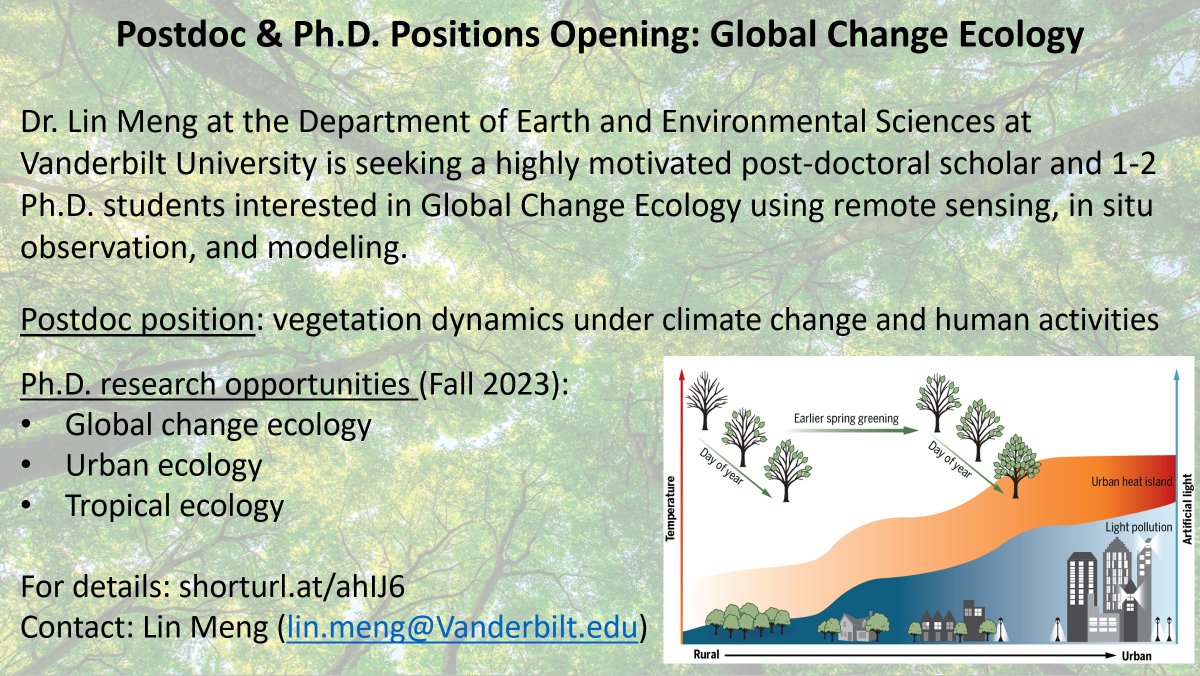
My Lab is recruiting a postdoc and Ph.D. students studying vegetation dynamics under climate change and human activities at @VanderbiltU. Includes remote sensing, #GEE, #urbantree, #fire, #lightpollution, and modeling. Please RT & thanks!
For details: https://t.co/BKRdaZmfuV