As you know, important elections on Tuesday (yes, I said this last time as well).
Please vote. If you aren’t sure who to vote for, consider the previous actions of the candidates and vote for who might better protect the environment, support science and fight corruption.
Just finished https://t.co/ypPZvukmiM “Weathering the Storm
Sverre Petterssen, the D-Day Forecast, and the Rise of Modern Meteorology” about the D-day forecast, check out (chapter 16+) by https://t.co/8Cv5Q9nEv0
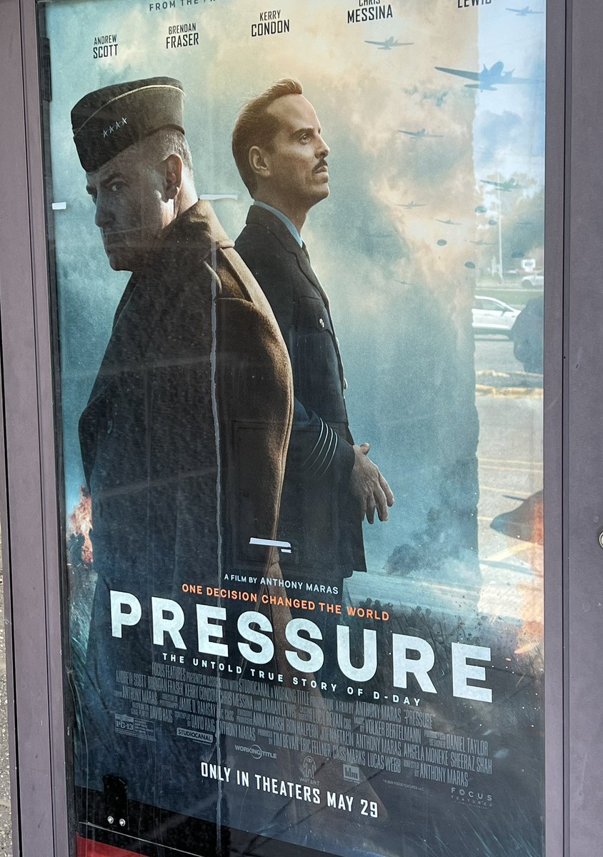
Full Disclosure: I think every movie should have a meteorologist (or another scientist) as the hero! Wait no more, check out Pressure (about the D-day forecasts). Sure there was some artistic license, limited number of key folks included, but still.
Full Disclosure: I think every movie should have a meteorologist (or another scientist) as the hero! Wait no more, check out Pressure (about the D-day forecasts). Sure there was some artistic license, limited number of key folks included, but still.
MODERATE RISK (level 4 of 5) has been issued along the WI/IL border for later today. Intense severe storms with destructive straight line winds and tornadoes are expected between 4-8pm.
60% severe wind probabilities are not commonly issued by the SPC. Charge up your devices!
The #ArtemisII launch/plume could be seen by every spectral band of the @NOAASatellites#GOES19 ABI. More on the CIMSS Satellite Blog: https://t.co/ZQM9wBFOBQ
Congrats @NASA for the successful launch of #Artemis II from @NASAKennedy on April 1, 2026! You may have had a closer seat, but @NOAASatellites GOES-19 saw it from ~22,000 miles away. Here is the "rocket plume" RGB from 30-sec imagery. More on the Blog: https://t.co/Jl9xyG6s7d
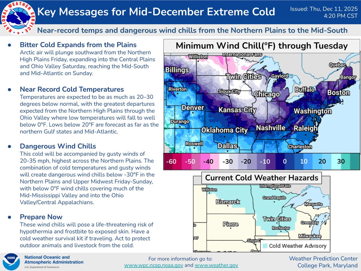
Arctic air will bring near record cold temperatures and dangerous wind chills as it moves southward from the Northern High Plains Friday, expanding into the Central Plains and Ohio Valley Saturday, reaching the Mid-South and Mid-Atlantic on Sunday. View WPC's Key messages:
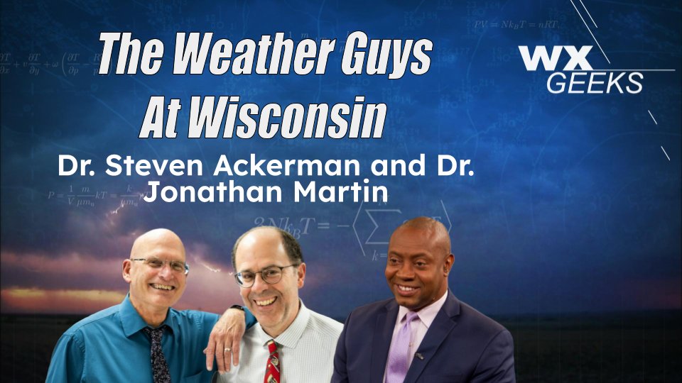
ICYMI: We brought the beloved radio show from The Weather Guys at Wisconsin to Weather Geeks! 📻
Hear why Wisconsin weather makes for some of the best conversations around 👉 https://t.co/c5jcqYgbLu
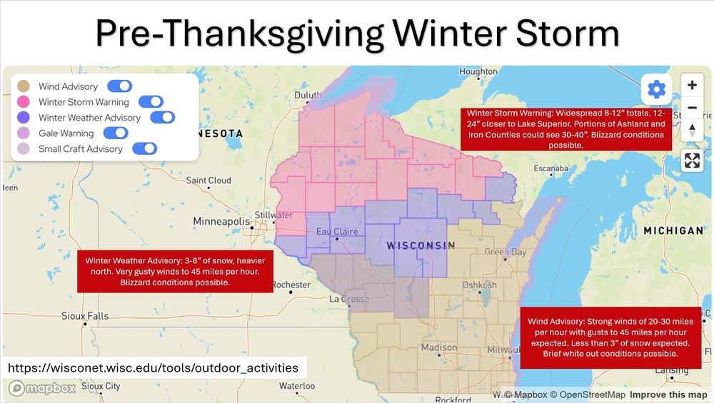
Lots happening in the next 24-36 hours across the state.
Figured it was easier to put together a full graphic than try to type it out in a couple hundred characters.
Derived Ash Height product from @eumetsat#meteosat10 suggested that parts of the volcanic ash cloud from the eruption of #HayliGubbi in Ethiopia may have reached heights in the 18-20 km range (black).
There were pilot reports of Extreme Turbulence yesterday over southwest Lower Michigan (causing some minor injuries) -- more details on the CIMSS Satellite Blog: https://t.co/LHp5wXqkWQ
Wisconet is hiring!
Come join the premier mesonet of the Great Lakes and help us develop even more tools and applications to support farmers, growers, emergency managers, and the public!
Apply by December 7.
https://t.co/uigr7O5i2Q
1-min #GOESEast Infrared images w/ an overlay of GLM Flash Extent Density (large blue/cyan pixels) & GLM Flash Points (white dots) showed 3 brief signatures of lightning along the Indiana & Illinois coasts overnight - highlighting lake effect thundersnow. @NWSChicago#ILwx#INwx