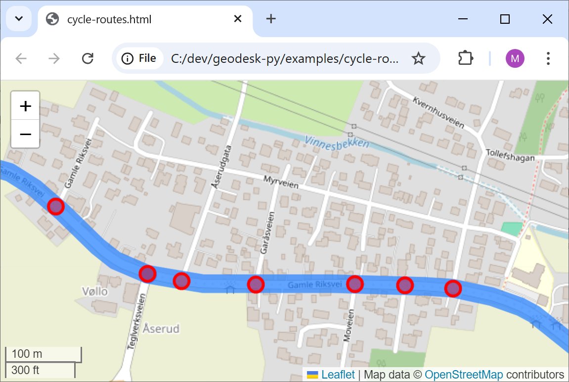
@mappingthings Yes, you can! "gol query world w[piste:type]" or via the Python, Java or C++ toolkits. You can also restrict by bounding box or polygon.
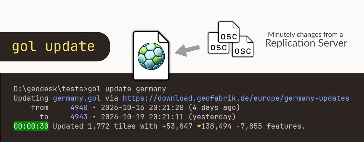
GeoDesk now supports fast incremental updates, so you can keep your local copy of #OpenStreetMap current. The full planet requires only 130 GB of disk space, and applying a day's worth of changes takes 5 minutes on a midrange workstation.
https://t.co/71rKbjG78D
The State of the Map is coming up! There are only a few days left to get your tickets and read the program. 🚨
Discover what the first day has in store for you in this post. 📅
You can learn more about the program by clicking here 👉 https://t.co/VXXRmC1Poq
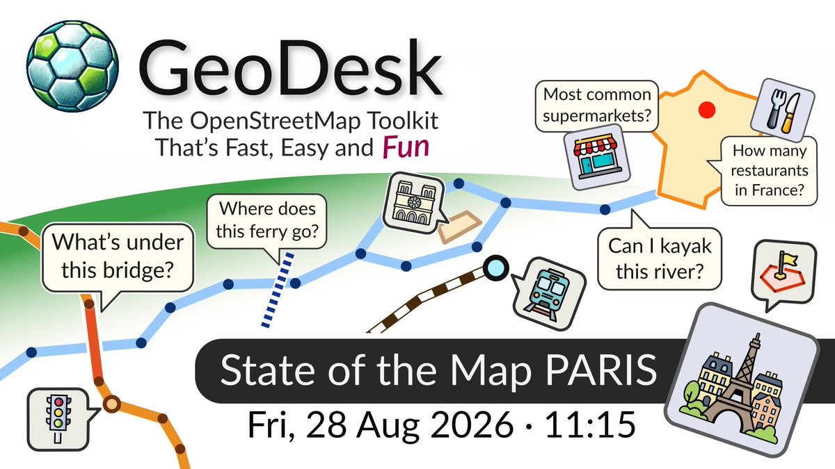
Don’t miss: “GeoDesk: The #OpenStreetMap toolkit that’s fast, easy and fun” at #SotM2026 on Friday, 28 August 2026, 11:15 CEST. https://t.co/lF1oPdFMFx
New file format for #OpenStreetMap data: Geo-Object Bundle (GOB) files are 30% smaller than #OSM PBF and 5x faster to import. Learn more: https://t.co/YdBaaEdq0n
We've released v2.0 of our GeoDesk #OpenStreetMap Toolkit, with a brand-new GOL Tool and many performance and usability improvements: https://t.co/DipufkYwgX
🎉 GeoDesk 1.0 is here -- our open-source Python & Java toolkits for #OpenStreetMap data are now production-ready. See what's planned for 2.0: https://t.co/tJp6cz2UyQ
Just released: GeoDesk for C++ is the most powerful and versatile edition of our #OpenStreetMap Toolkit. Build insanely fast geospatial applications -- 100% free & open-source. https://t.co/y1u1oVYmBI
I'm open to new projects!
With 15+ years as a Geospatial Consultant / Specialist, and experience in marketing geospatial products, I’m looking for new opportunities.
If you need expertise in these areas or know someone who does, DMs are open. 😊
Please share if you can!