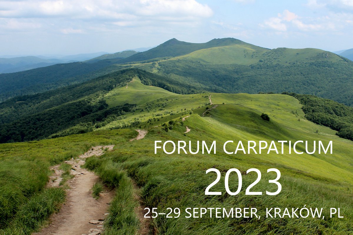
From October 15 to 17, 2024, a project meeting for the G4B project: “Grasslands for Biodiversity - Species-rich grasslands in the Alps and Carpathians” was held in the city of Timisoara in Romania, including an excursion to the beautiful landscape of the Carpathians! 🌸🌼🍃
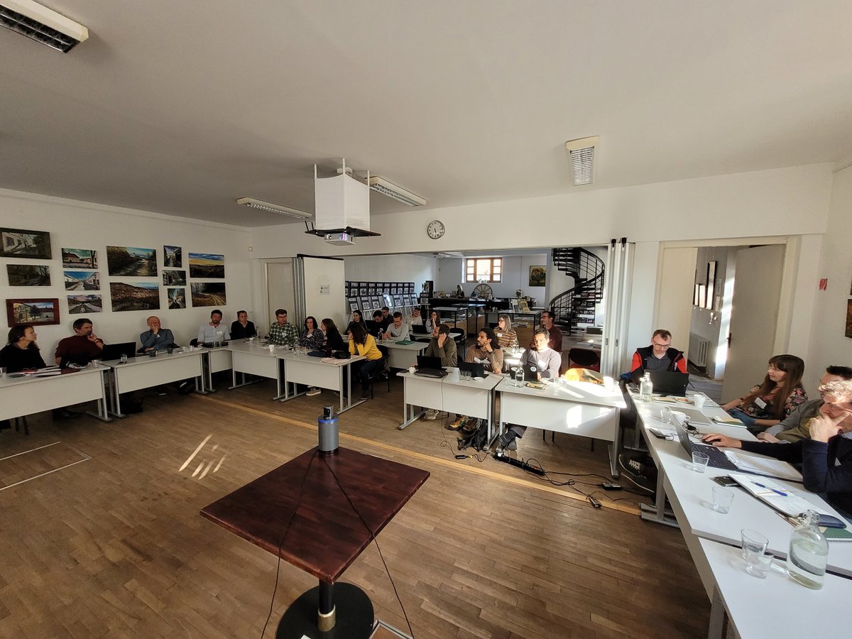
The GeoKARTO 2024 conference, held 5 - 6 September 2024 in Stará Lesná, focused on current issues and trends in cartography and geoinformatics, organized by the Institute of Geography SAS and the Cartographic Society of the Slovak Republic. Thanks to all participants!
New paper by Dr. Milan Lehotský and colleagues about investigation of the spatiotemporal variability of the old Danube channel!
https://t.co/z0jGsFwNKa
The introductory meeting about the prospects of international cooperation in cartography and geo-information science was held on Tuesday, 2nd of April 2024, with a special guest - Prof. Georg Gartner, now the International Cartographic Association (ICA) President.
🆕📰in Reg. Env. Change https://t.co/haZqqVsg76 on grassland cover change in Europe from 1990 to 2018 identifies an 📈increasing(20%), 📉decreasing (35%), and mixed (3%) development trajectories of grassland change over a 1km x 1km grid.
#G4B @WSL_research @Geography_SAS
Why has farming in #Europe changed?
New paper by Mohr Franziska & colleagues @WSL_research presenting farmers’ perspective on the development since the 1960s, based on case study research and oral history interviews
https://t.co/2nI1x7WHr7
#farming@ChrLevers@RobertPazur
Kick-off meeting of our #G4B Biodiversa+ project
Exciting get-together of the #G4B project partners. Grassland biodiversity, remote sensing, management regimes, protected areas and an excursion to the Little Carpathians. @BiodiversaPlus @WSL_research @Geography_SAS@BiogeoBerlin
Interesting panel on the success of the past Biodiversa projects. Seems that open-mindness and leaving the comfort zones helps as the projects never go as planned @BiodiversaPlus
Today we celebrate #WorldWetlandsDay 💧
Wetlands are land areas where water is the primary factor controlling the environment and associated plant and animal life.
There are currently over 2000 Ramsar Sites around the world🌏
How can #EO satellites help with counting national carbon emissions?
Discover the answer with this short video 📽️https://t.co/Wfq7DzPt3b
For a more in-depth read https://t.co/h2zUXJr3nm
January #Temperature highlights from the #CopernicusClimate Change Service.
Last month:
🌡 was Europe’s 3rd warmest January on record,
🌡 temperatures were above average in much of Europe,
🌡 but below-average across Siberia.
For more information 👉 https://t.co/zgs6dRg6Hp
#PhD in Physical geography, geoecology and geoinformatics, human geography, regional geography or other related fields!
Link to apply: https://t.co/BxwM4AjOUn