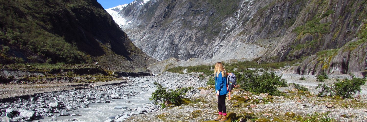
Gutted that I cannot make it in person to #BES2023 because of flight cancellations. But our talk is now online, so if you're interested in #UAVs and #Anolislizards, check it out on the online conference app!
Job Alert
Last year we announced our replacement for the Better Mapping initiative, called GeoViz. We are now looking to appoint a GeoViz Lead.
For details of this paid role see https://t.co/ZW7lgYSW53
We’ve brought a map to life to show the variety of habitats across the country!
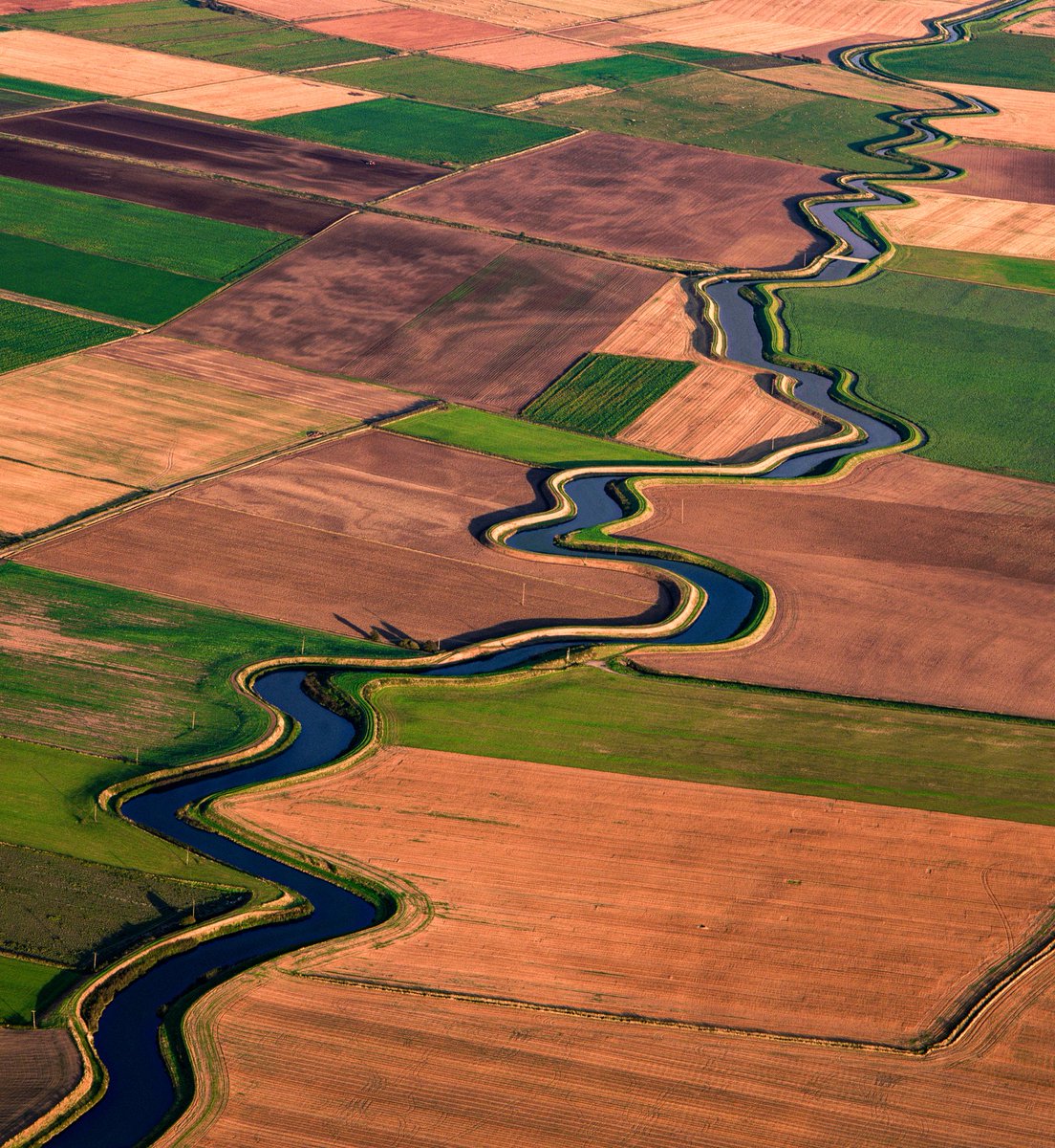
Our Living England Habitat Probability Map uses machine learning, satellite imagery and field data records to feed into policy and protect nature.
https://t.co/HNTrjh2bmB
Earth’s orbit is rapidly filling up with debris that makes it harder to launch rockets and keep satellites from being destroyed. @CoolerMedia created this short story about the problems & solutions to #spacedebris with @ESA experts #cleanspace#spacesafety
https://t.co/tgVBNuvgTX
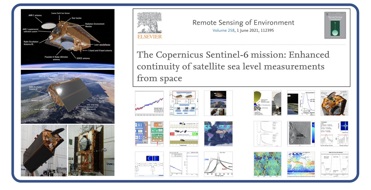
All you need to know about @ESA_EO@CopernicusEU#Sentinel6 in one place. Provides a description of the spacecraft, the Poseidon-4 altimeter, AMR-C radiometer and more. This should help get you up and running with fantastic #Sentinel6 data!
Take a look at https://t.co/A0B8brYQPa
For 49 years, #Landsat satellites have orbited Earth, gathering images that often look like art. Create & share your #LandsatCraft with us!
Learn more at https://t.co/QBdDW0Haxh
Need inspiration? Check out the @USGS_EROS Earth as Art library https://t.co/bV8sch5EsS
Want to work for an expanding InSAR team across a great mix of projects and applications? Know anyone who might? We're recruiting both at entry-level and candidates with SAR/InSAR experience.
https://t.co/Hd2SsbC3ot
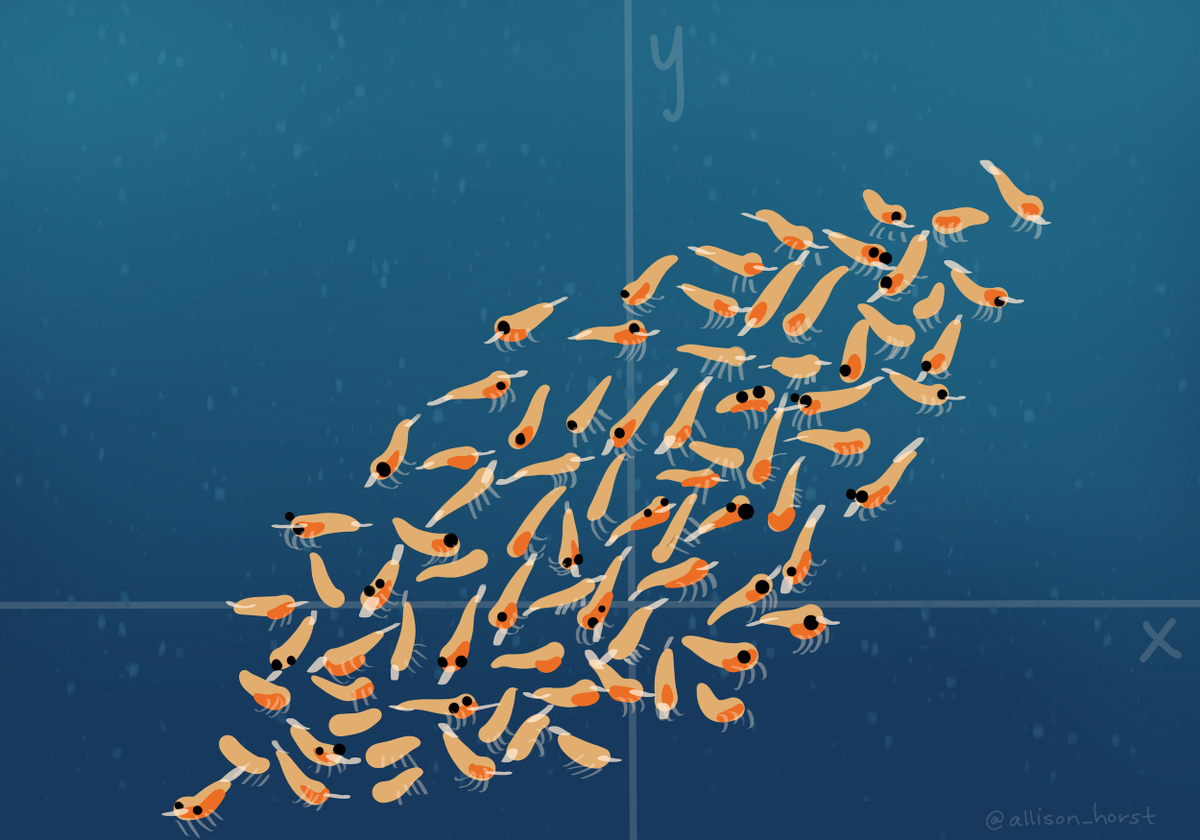
...that looks like this. I get to see them pretend to be whale sharks, we talk a bit about how to get as many krill as possible in the fewest passes you're gonna tilt your face, then we get into PCA.
As a warm-up exercise to teach PCA I ask students to pretend they're a whale shark then ask them what angle they'd tilt their shark face if they were approaching a delicious krill swarm...
LANDFIRE just released the most comprehensive and meaningful update in its 15-year history.
Don't know LANDFIRE? Take a few minutes and get acquainted.
Dig deeper by following this link: https://t.co/xbGj2q4Qez
Community Contact Tracing is an important analytical capability that can help #publichealth and other organizations mitigate the spread of #COVID19 in local communities. Learn more here: https://t.co/BegH4etrOU
🚀 We have LIFTOFF to Mars! The @ulalaunch Atlas V takes flight with our @NASAPersevere rover. The #CountdownToMars continues as Perseverance begins her 7-month journey to the Red Planet!
Looking at outbreaks of malaria, SARS, H1N1 and Zika, among other viruses, @geoworldmedia's @avneepdhingra explores how maps & geospatial technology have helped during different outbreaks https://t.co/bbfTYxZ1aI @GISLounge@EarthOutreach @hannahlikesmaps
Huge congratulations to @UoNGeography @BethJackson1x
@chloebrown_RS & @ce_waite who are graduating with their PhD Doctorates today! Fantastic achievement! Thank you for all your remote sensing lab support and I wish you every success for the future! #WeAreUoNGeography 😃🎉🎓