@spann Woke up to this ~3” diameter (and over 12ft long) branch, among dozens of smaller ones, downed just inches from my back windshield… It doesn’t get much closer than that! #alwx
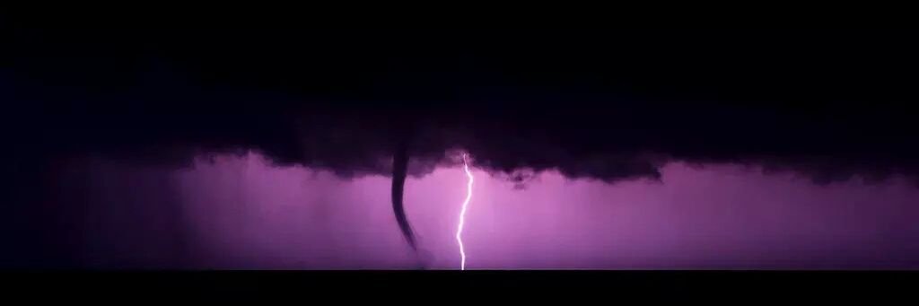
Gustnado in Trussville earlier when the storm passed through. A gustnado (a blend of the words “gust front” and “tornado”) is a brief, shallow, surface-based whirlwind that forms along the leading edge of a thunderstorm. They are not associated with storm scale rotation, and are classified as thunderstorm wind events. Video from Kayden Russell
ICE POTENTIAL: We believe the greatest issues with ice will be in two spots across North Alabama...
NORTHWEST ALABAMA: The heaviest ice accumulation is expected over the northwest corner of Alabama, where an ice storm warning is in effect for Lauderdale, Colbert, and Franklin counties.
High resolution models suggest the Shoals could see 12 hours of freezing rain tomorrow, before temperatures edge above freezing late tomorrow night (temperatures will rise through the night as the warm sector of the storm moves northward).
This will likely lead to ice accumulation of at least .25", and possibly more. This will likely result in power outages and very difficult travel.
EAST/NORTHEAST ALABAMA: The other concern is that the CAD (cold air damming) pattern will push very cold air into East and Northeast Alabama after midnight tomorrow night into Sunday morning. This could bring some ice accumulation and travel issues to Jackson, DeKalb, Cherokee, Cleburne, and Calhoun counties. Maybe parts of Etowah and Marshall counties. Ice accumulations here could be as high as .10".
Models often don't handle CAD situation well, but if you are in these counties be sure and check on road conditions if you have to drive late tomorrow night or Sunday morning.
We will go live on the Alabama Weather Network tomorrow morning around 8:00 a.m... and we will stay with you during the event with our extensive SKYCAM network and team of spotters on the ground across the areas of concern. Be sure and have the AWN app on your TV, phone, and tablet, and follow AWN on all social platforms, including YouTube.
See you tomorrow morning on AWN!!
@spann Lots of street flooding and overflowing culverts, along with patchy dense fog have been occurring since around sunset in Grant atop the mountain. Driving visibility was very poor on my way home.
@NWSHuntsville@whnt@waff48 Lots of street flooding-with some backroads having water covering the road in multiple places-overflowing culverts/ditches, and patchy dense fog in atop Grant Mountain.
Precip has stopped for now atop Grant mountain, ice accretion seems to be about 1/10 of an inch and wind gusts are steadily increasing. @DanielleDozier@spann@NWSHuntsville