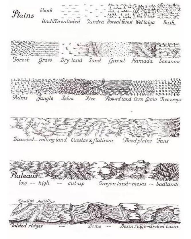
A milestone for https://t.co/gIsR5kpUgO: over 150,000 historical maps and related images are now freely available online. After 26 years, the site has welcomed 50+ million visitors, delivered 20+ million free downloads, and seen 250+ million map views. Thank you to everyone who has explored with us. Next stop: 200,000 maps online by 2031. #Maps #History #Cartography #OpenAccess
LA METEREOLOGIA NACIONAL EN MALVINAS 🇦🇷🇦🇷🇦🇷
Reclrte del documental Los Años Azules, la historia del Servicio Meteorológico Nacional. Realizado por la Lic. Adriana Basualdo.
(1/2)
El plan nuclear de Milei, Ramos Napoli y Rafael Grossi. Despidos y represion en la Comision Nacional de Energia Atomica contra investigadores, empleados y profesionales.
A 900 year old 30x30" stone map that looks like it was made yesterday: The 1137 Yu Ji Tu 禹跡圖, "Map of the Tracks of Yu"
Dividing China into 31-mile squares, it commemorates emperor Da Yu and marks the fictional Heishui river from the Yu Gong, a book detailing Yu's feats
🗺️I've mapped median household income in the US at a granular scale (ZIP Code). Segregation is very pronounced. Higher incomes are mainly recorded in suburbs and dynamic areas while lower incomes are found in disadvantaged inner-city neighborhoods and in remote rural areas.
WORDS OF THE WEEK 💬
Katabatic wind — Most widely used in mountain meteorology to denote a downslope flow driven by cooling at the slope surface during periods of light larger-scale winds; the nocturnal component of the along-slope wind systems.
More: https://t.co/mAR8h9yvPG
Mi viejo falleció cuando yo tenía 5 años. Tengo pocos recuerdos con él.
Uno es en la palestra del cenard. Él la diseñó y construyó para que hubiera un lugar donde entrenar en buenos aires.
Hoy la tiran abajo para que un especulador inmobiliario pueda ser un poco más rico...
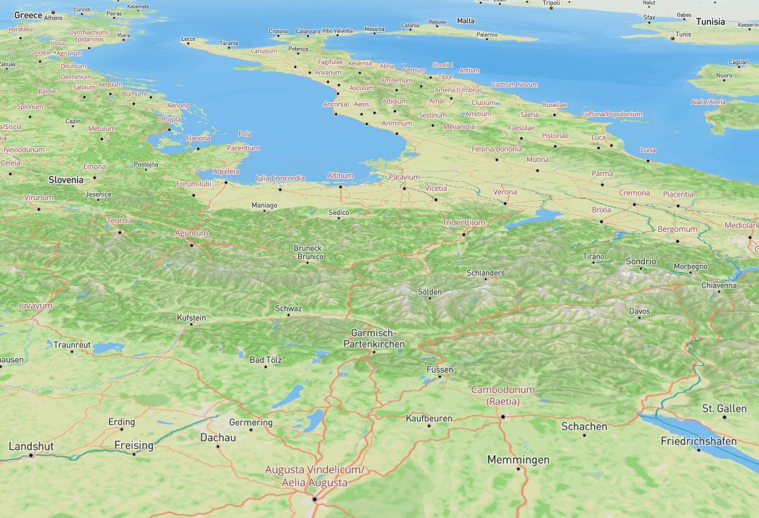
Tell your boss that I gave you the rest of the week off so you can explore this amazing interactive map showing the road network of the Roman Empire. This is so much fun to explore you can compare the Ancient and Modern road network for example. Great stuff. Your boss will understand... Source: https://t.co/hwr2rPXKYg
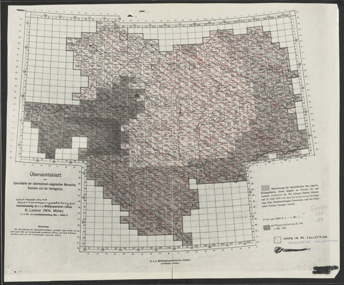
Interested in mapping and GIS? Join the Geography & Map Division this summer for a paid, 10-week Junior Fellowship. It's a rare opportunity to create a spatial search app for historical Austro-Hungarian Empire maps. Application deadline is January 2! https://t.co/IeDtkh0c41
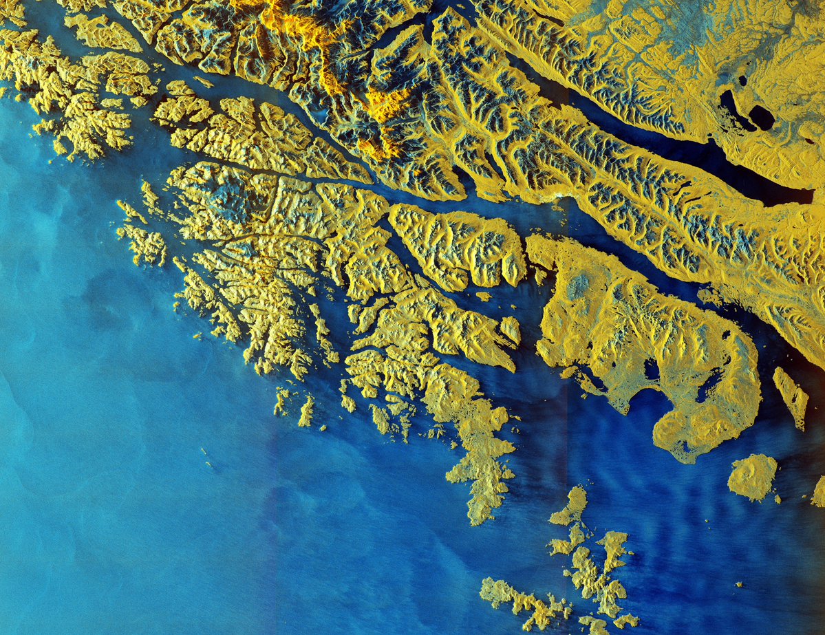
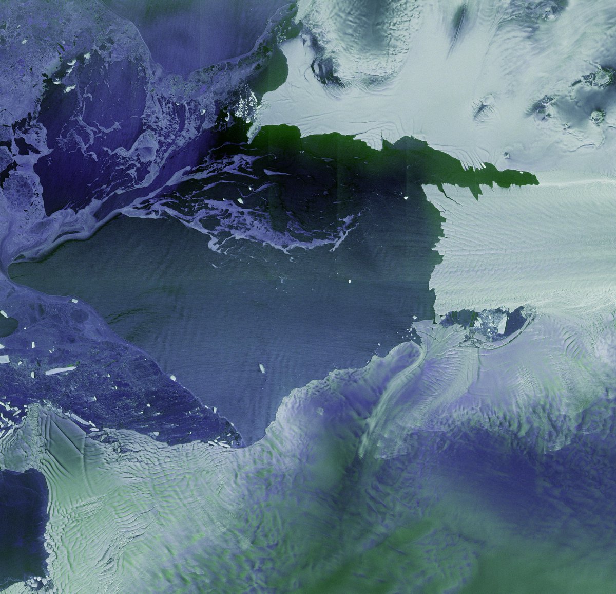
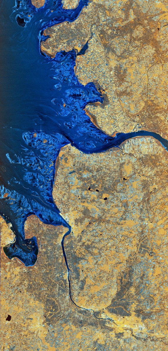
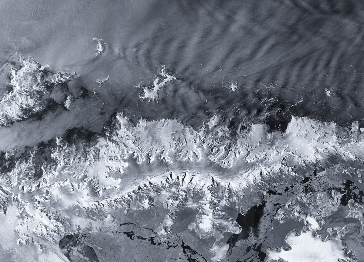
The first @CopernicusEU Sentinel-1D images are in!
Launched in early November, the radar satellite is already imaging Earth's surface day and night, through clouds and rain, in stunning details.
Check out the images featuring the Antarctic Peninsula, Thwaites Glacier, Tierra del Fuego and Bremen: https://t.co/GK5RPJ26z4
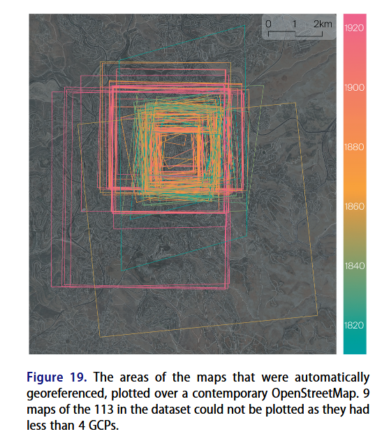
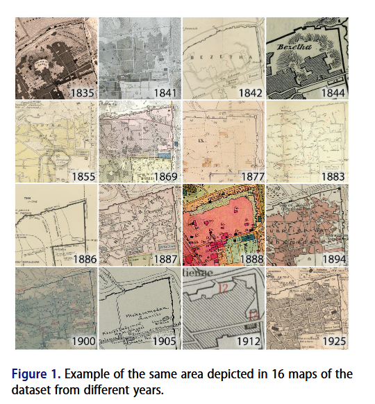
Fantastic article on Georeferencing historical maps using automated processes, including local feature matching and Delaunay consistency from Beatrice Vaienti, Isabella di Lenardo and Frédéric Kaplan https://t.co/VmUd2W1hER #GISchat#OpenAccess
⛵️ Trafic maritime en Arctique vu du Pacifique
#30DayMapChallenge - J2 : Lignes
🌍 Projection orthographique, réalisée avec des données Marine Traffic et Natural Earth, avec QGIS et Adobe Illustrator
🕰️ 4h de réalisation
#map#arctic
GLOBE OF HISTORY es una sencilla web que localiza en un mapa🗺️eventos históricos importantes acaecidos en el intervalo de tiempo que le marquéis.
También sitúa personajes históricos etc.
Vía GoogleMapsMania.
https://t.co/3AhAUtefIH
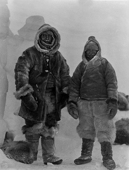
November 1-2, 1930 after reaching the isolated meteorological station "Eismitte" on the ice-sheet of Greenland, Wegener and his team celebrate his 50th birthday with some dried fruit and chocolate a rare luxury in Arctic conditions. Shortly after, Wegener and Villumsen leave..
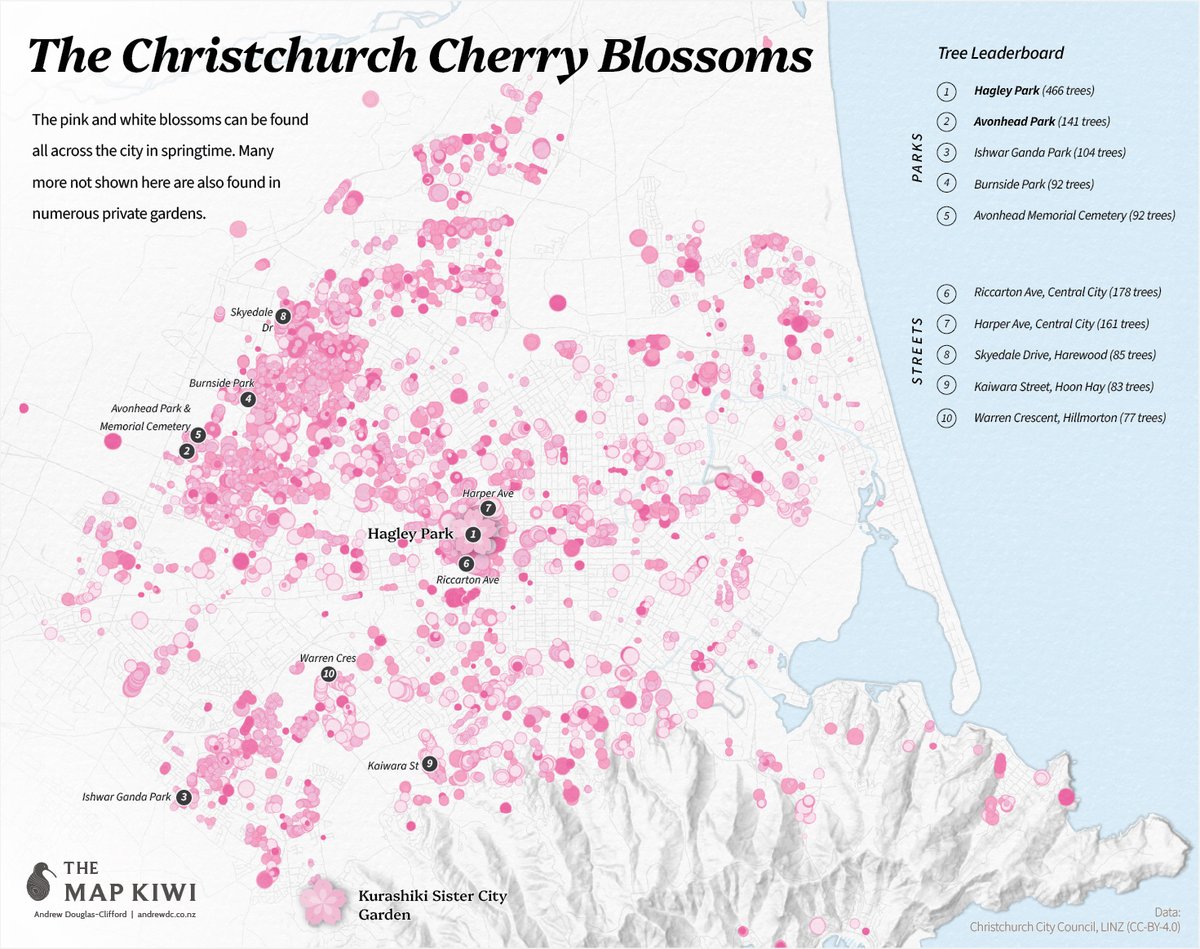
Day 1 of #30DayMapChallenge - Points 🌸
Of the Garden City's botancial delights, the site of the pink and white Cherry Blossoms is perhaps one of the most anticipated and visually dramatic.