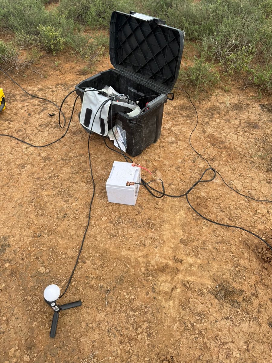
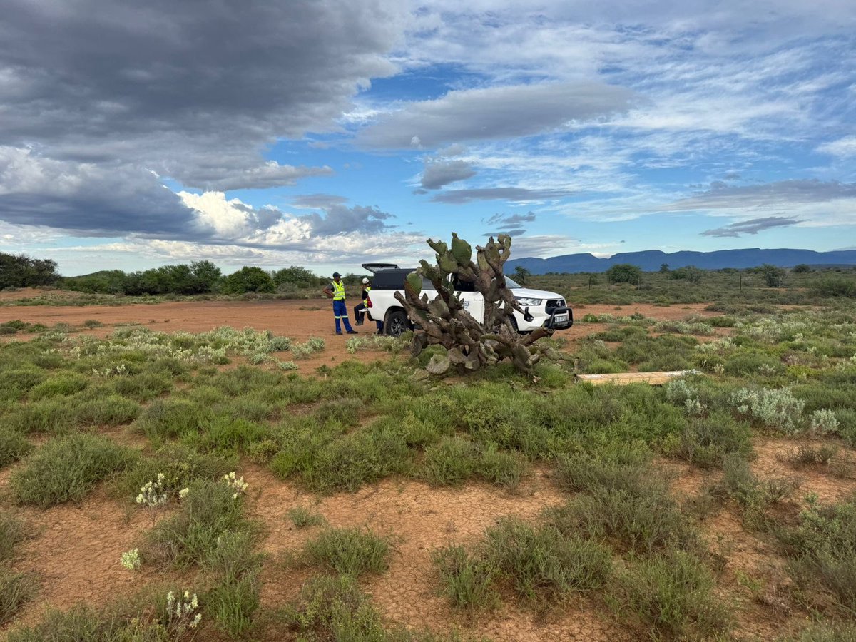
Some 220 000 years ago a stony meteorite the size of half a football field slammed into the earth’s crust about 40 km north of Pretoria. This formed the 1.1km wide Tswaing Impact Crater. Here is the magnetic data over the crater draped over the topo
#geoscience@MiraGeoscience
IGS is excited to be exhibiting at Africa Aerospace & Defence 2026 from 16–20 September at Waterkloof Air Force Base, Pretoria. 🇿🇦
Come see our technology, meet the team and explore what geoscience can bring to the defence sector.
📍 Waterkloof Air Force Base
📅 16–20 Sep2026
IGS is excited to be exhibiting at Africa Aerospace & Defence 2026 from 16–20 September at Waterkloof Air Force Base, Pretoria. 🇿🇦
Come see our technology, meet the team and explore what geoscience can bring to the defence sector.
📍 Waterkloof Air Force Base
📅 16–20 Sep2026
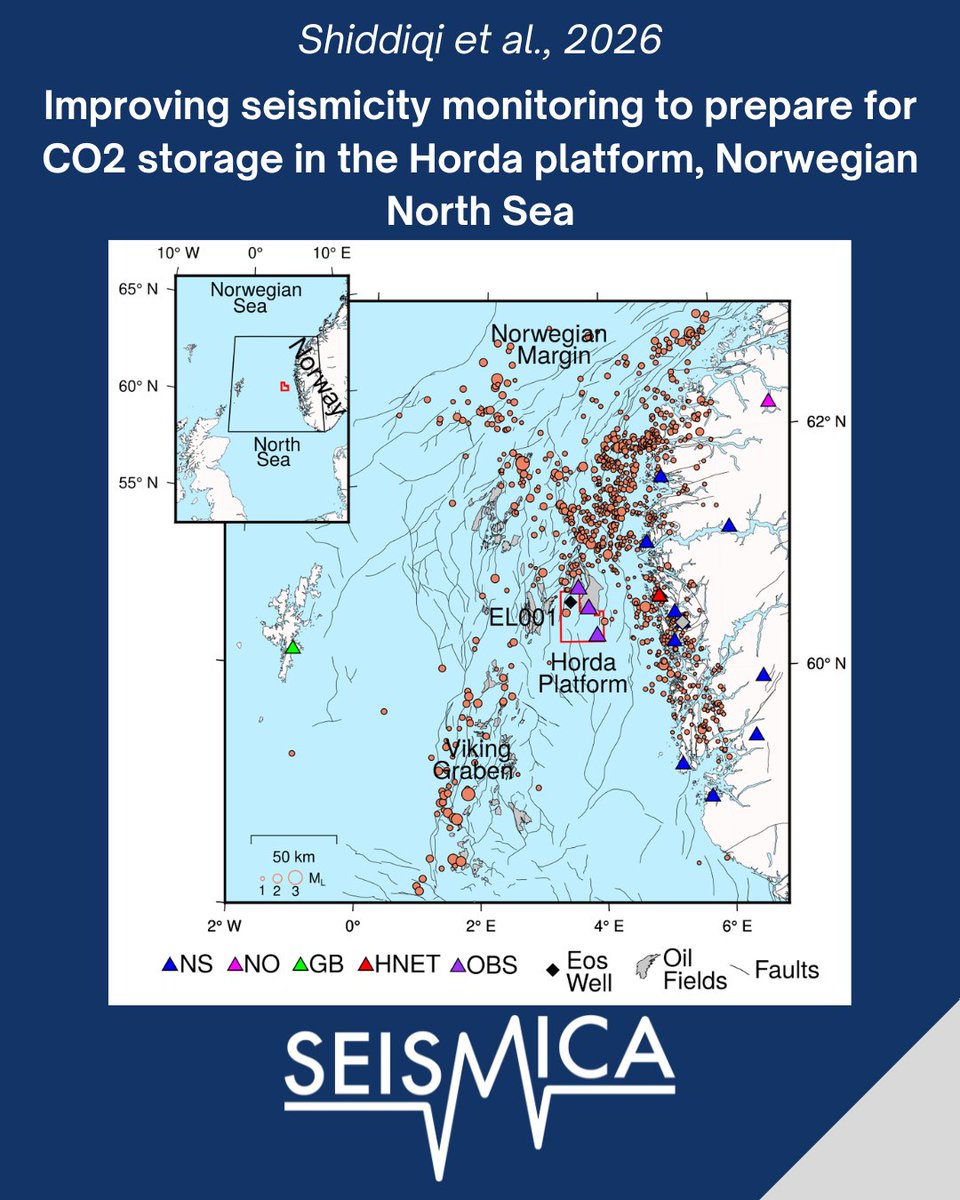
Ocean bottom seismometers improve earthquake detection in the North Sea, revealing undetected small events and providing a stronger baseline seismicity record for future offshore CO₂ storage
🔗 Read now: https://t.co/A9FSJO7wJ0
High-quality #geological#interpretation starts with high-quality surfaces. Whether you're working with #LiDAR, #photogrammetry or other 3D datasets, the surfaces you create directly influence the accuracy and efficiency of your #DigitalMapping. Read more: https://t.co/FXcZyRksBo
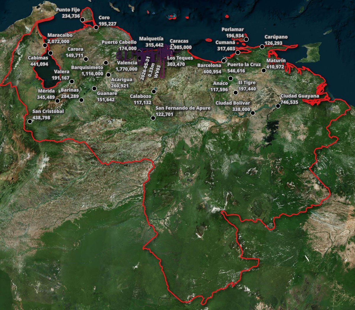
Vantor's Open Satellite Feed https://t.co/1sX2tjiwcN
High-resolution satellite imagery from disaster-struck parts of the globe. Often published within 90 minutes of capture.
Unraveling active magma by drilling in the heart of volcanoes
Magma slowly moves from deep within Earth toward the surface. It often temporarily stops in the crust, where it may reside for years, decades, or even millennia.
Read More: https://t.co/pJ6mEL6MYV
Seismic Tomography: Visualizing Density Anomalies in the Lower Mantle
Understanding how seismic tomography works—and what it reveals about lower mantle dynamics—is essential for students and geologists ...
Read more: https://t.co/Dni2abrfOi
I am excited to introduce OpenGeoAgent, a powerful open-source multimodal AI agent for automated geospatial analysis and visualization!
It supports QGIS, Jupyter notebook, and Python scripting. In this tutorial, you’ll learn how to automate GIS workflows using natural language, generate maps, analyze satellite data, and even run complex hydrological models.
You can even interact with the agent using voice commands (no typing needed).
Video: https://t.co/mJ0ort5dzb
GitHub: https://t.co/WgiWV1wGMS
QGIS Plugin: https://t.co/qNRP3WPJWe
#geospatial #GeoAgent #OpenSource #AI
A push to expand mines that use fluids to extract uranium from aquifers is raising concerns about groundwater pollution.
Learn more: https://t.co/dUkybZECHx @NewsfromScience
Satellite data and geospatial analytics are transforming food security. 🛰️🌍
Governments can now monitor crop health, detect risks early, optimize resources, and improve agricultural planning using multispectral Earth observation data in near real time.
.
#geospatial
NEW RELEASE! Sierra Nevada Earth Science Atlas
The Sierra Nevada Earth Science Atlas provides the most detailed geologic framework mapping of the Sierra Nevada that has ever been made.
https://t.co/yRn6CbXFyd
Working with Geoscience ANALYST Pro Geophysics and/or Pro Geology? If so, you're a valued member of our industry consortia. Join our 2026 Annual Meeting on Nov 2–4, held in person in Vancouver (virtual attendance available) 📅 Save the date! Formal invitations coming in Aug/Sep.