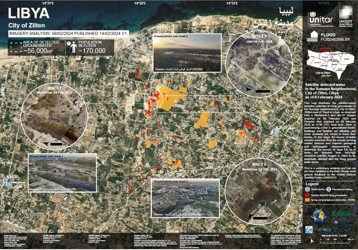
🇱🇾 Zliten, Libya
Groundwater levels are surging, damaging buildings and structures, forcing residents to evacuate.
Join the mapathon organized by #OSM Libya to aid crisis management with spatial data.
🗓️20 Feb, 3:00pm UTC
➡️Register: https://t.co/yUam5I3F7C
🗺️Credits: @UNOSAT
🗺️🚀 Big news! @openstreetmap will be embracing vector tiles in 2024, transforming the map experience with dynamic, up-to-date data. #OSM#VectorMaps2024
https://t.co/3Az72EjIuH
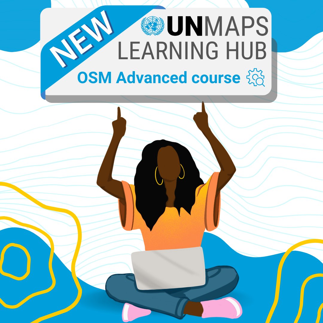
🚀 Exciting news!
📚 New course "OSM Advanced" available on our Learning Hub!
👩💻 Learn #validation techniques for #OpenStreetMap: validation steps, JOSM Tools, Overpass, Osmose, Whodidit, and OSMCha.
🗺️ Level up your #geospatial skills! Check it out: https://t.co/ZOijL4gQzz
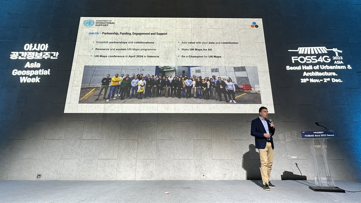
Last week, our team met with the team from UN Maps to discuss and explore ways of collaboration between UPRI YouthMappers and @UN_Mappers. We are looking forward to working together to build more maps and mappers 🤝
🇨🇲Yaoundé, Cameroon
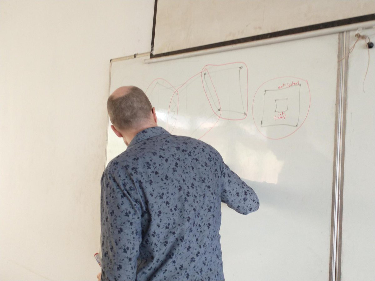
We had an awesome session yesterday with @ENSTP_cmr students, diving into mapping relations on #OpenStreetMap🗺️
Today, we are hitting the field with them for some POIs collection!🤳🏪
In something like 2003 I went to a talk in the City of London (that means the finance bit) about how to use these new things called wikis.
It was about how powerful it was to let people edit information.
One practical work example in the talk was that you could have a internal wiki page where people could update their contact info themselves instead of having someone do it centrally.
The first question went like this: "These wikis are great, I can see all the potential, but, how can I make sure nobody can edit the pages?"
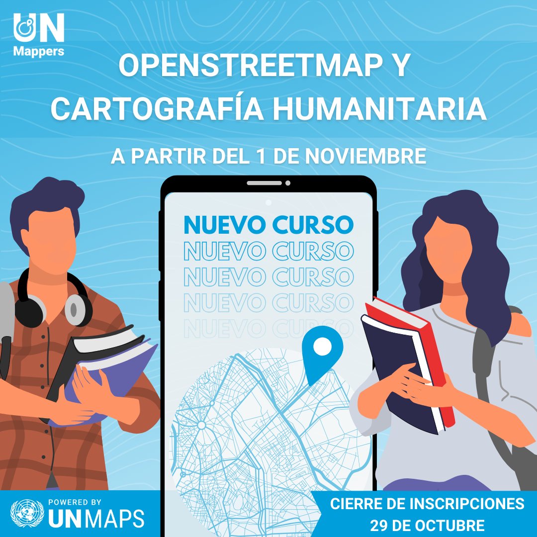
📚¡Nueva oportunidad de #formación!
💻El 1 de noviembre comenzará nuestro curso #OSM y cartografía #humanitaria en español.
📅Inscripciones hasta el 29 de octubre
Más información👉https://t.co/4VNWf7HfeL
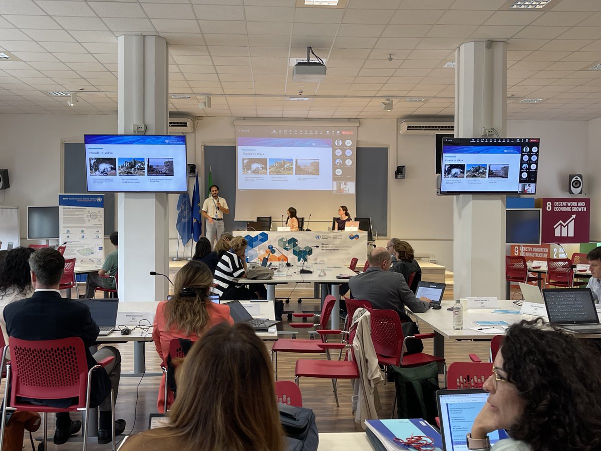
🛰️ 19th UN-Space Open Session
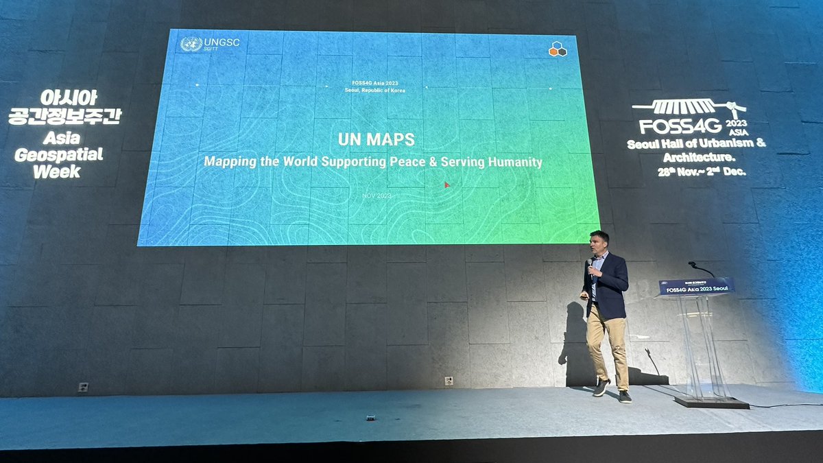
Presenting the #OSM community's swift disaster response and open data usage on the ground, with case studies from #Libya and #Morocco, where #UNMaps and @hotosm supported the great efforts of the local communities @MapLibya#OSMMaroc#UNGSC
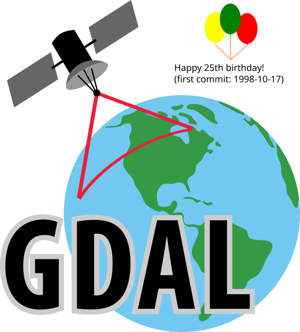
Happy 25th birthday to GDAL ! From the first commit on 1998-10-17 from a small rural town outside of Ottawa Canada, to almost every geospatial software installation on the planet (and satellites and other planets!) in 25 years. The ultimate example of sharing & community. #foss4g
🗺️Join us tomorrow!
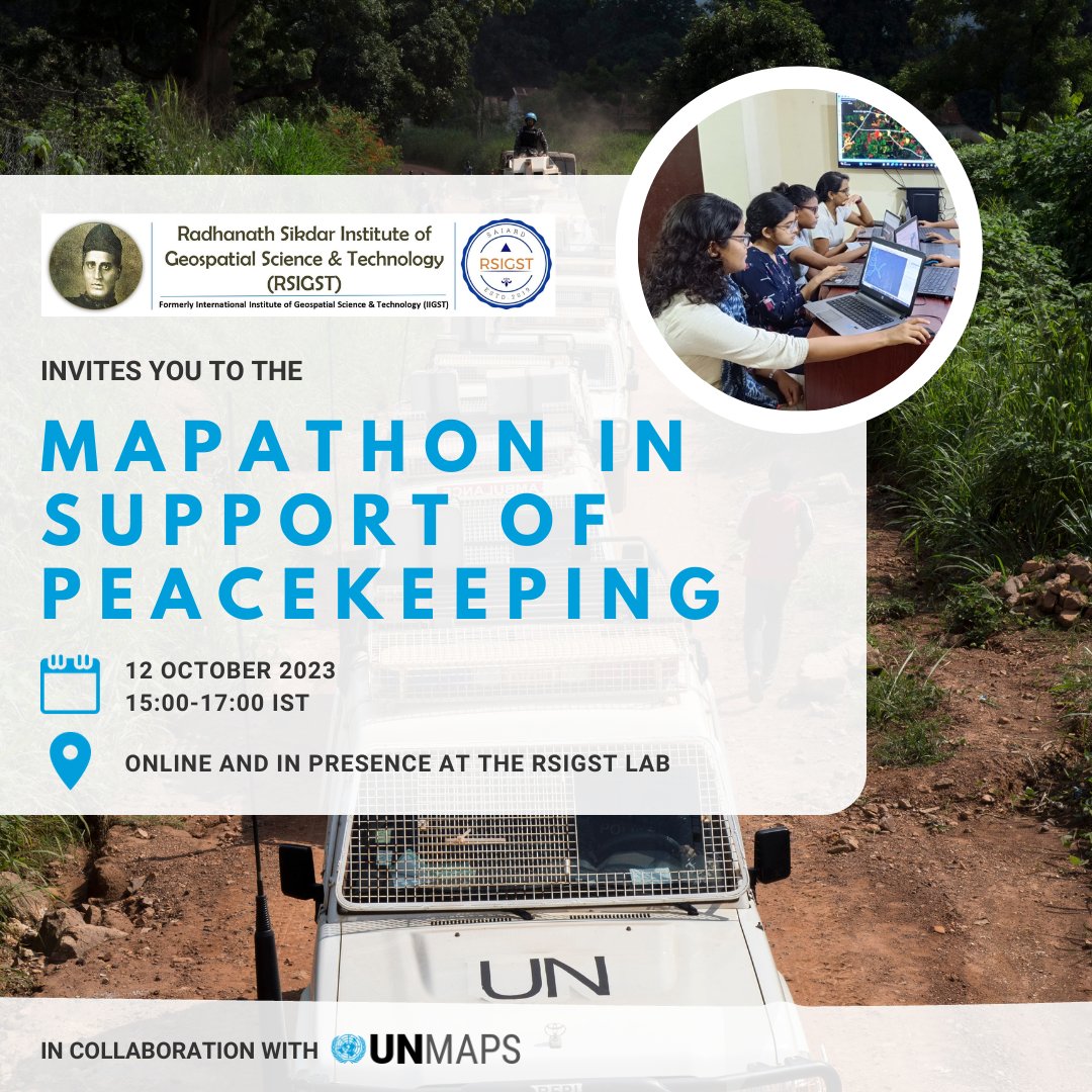
The #RSIGST, in collaboration with #UNMaps, invites you to the Mapathon in support of peacekeeping 🕊️
📅 12 Oct
⏰ 15:00-17:00 IST // 11:30-13:30 CEST
🔗 Register here👉https://t.co/8f7PbhD5Go
📸UN/MINUSCA - Hervé Serefio
@gischatbot
Here’s a peek in advance of our 2023 Mapping 17 #SDGs Campaign!
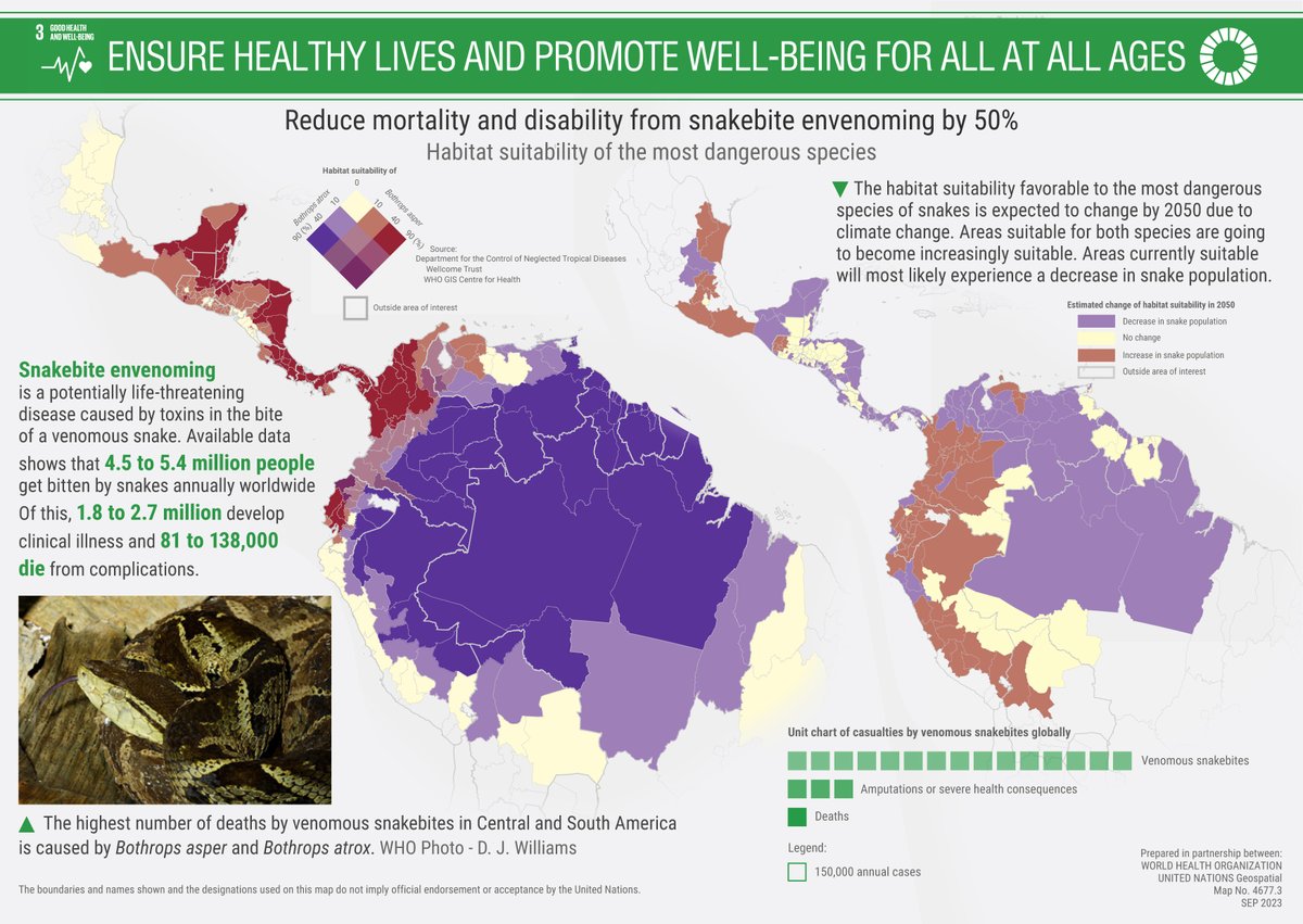
Snake🐍a peek at the #mapping on good health related to Snakebite #sdg3 for #SnakebiteAwarenessDay today!
⚠️In light of the severe impact of #StormDaniel on Libya, we extend our solidarity to the Libyan community.
Stand with @MapLibya by joining us in supporting relief efforts. Your help matters 👉https://t.co/6bOZG0aMWs
Let's UNITE to #Act4SDGs!
@gischatbot
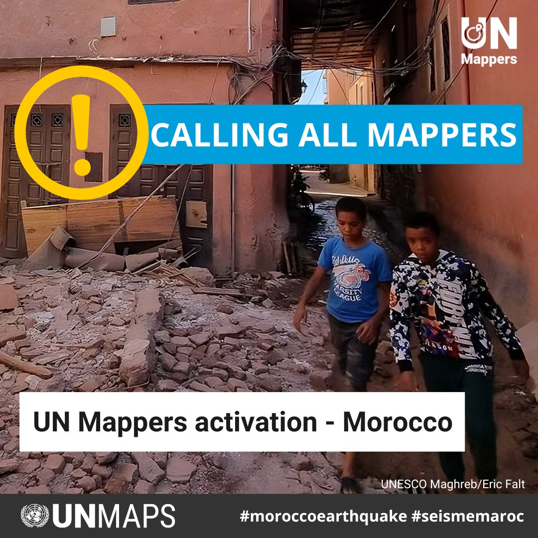
📢 UN Mappers activation!
🇲🇦Your mapping skills can save lives. Give your contribution in the aftermath of the earthquake that hit #Morocco ➡️ https://t.co/jazEJKGWRl
Don’t forget to add #UNMappers in your changeset comment.
#moroccoearthquake#seismemaroc@gischatbot
📢 UN Mappers activation!
🇲🇦Your mapping skills can save lives. Give your contribution in the aftermath of the earthquake that hit #Morocco ➡️ https://t.co/jazEJKGWRl
Don’t forget to add #UNMappers in your changeset comment.
#moroccoearthquake#seismemaroc@gischatbot
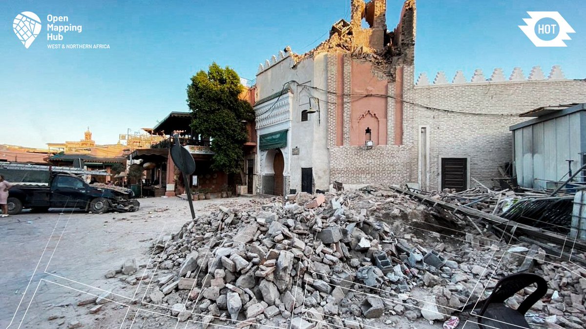
We are on maximum alert following the earthquake that shook Morocco. The team and local communities are acting to map the areas affected and provide reliable, up-to-date geographical information to humanitarian actors on the ground.
Join us : https://t.co/gKwjni3U1A
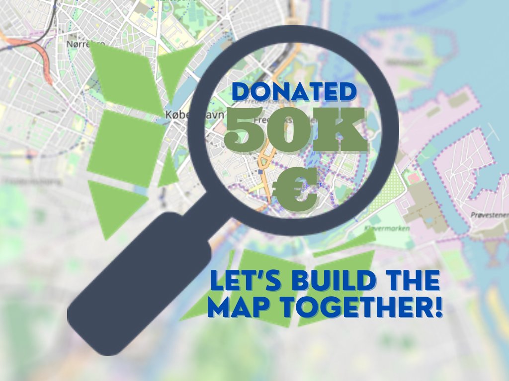
In just one month, 1426 people donated € 50,450 (and change) The average gift was € 35.
This is how it looks when a community builds. Everyone in the #openstreetmap community should be proud. THANK YOU.