We’re excited to attend the Virginia Tornado & Straight-line Wind Summit on Oct 15 to present @ODU researchers’ investigation of Virginia’s Tornado Alley.
Register here: https://t.co/4PxAPsrcYb
Results, preparedness, and educational content are shared at https://t.co/u3pjpBq5g6
I'm excited to represent @ODU at #SXSW2024! I’ll join @Esri and talented colleagues for a panel discussion on the use of game engines for creating more #sustainable cities. Join us: https://t.co/pJHlDqkf2h
#EsriClimateSeries#SXSW2024
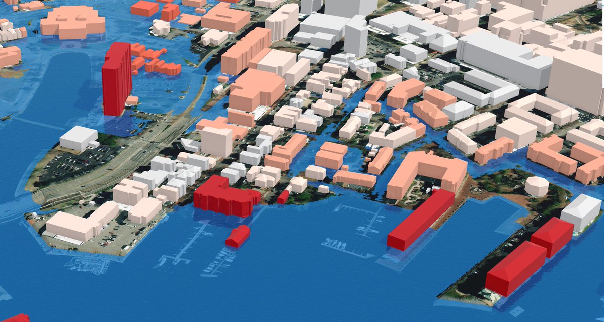
Learn how Norfolk, Virginia, developed a resilience plan with GIS. Read about their climate challenges and the GIS solutions that support local leaders, planners, and scientists as they build a more resilient community. https://t.co/GmypYpgSh0
The County of Kauai is one of the first places in the U.S. to include GIS-based visualizations in its planning policy around sea level rise. Find out how it’s being used: https://t.co/HMtApIdm4X
#SeaLevelRise#ClimateAction#ClimatePolicy
Visualizing data to understand climate impact is critical to creating policies for a sustainable future. Learn how @ODU accomplishes this with GIS: https://t.co/G4EwVNtznM
🔹 Learn more about their climate work here: https://t.co/vsOEhvhcee
#GIS#climateaction#climatepolicy
How did they make that map?
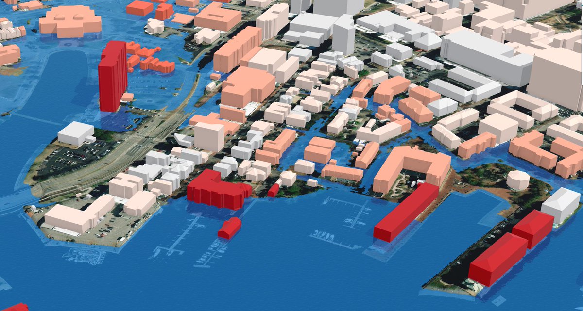
This 360 VR Experience shows what sea level rise could look like in Norfolk, Virginia in 2100.
Get the story — and data — behind the #map from @ODU's George McLeod & the #StoryMaps team: https://t.co/BebDgNCT8p
📹 @ODUGIS@nearmap
Over ½ of the world’s population will live in cities by 2050.
Learn how 4 cities are using a geographic approach and @Esri tools to address #climate challenges and create resilient, sustainable communities.
Explore the #GrowingGreenCities collection 🏙️ https://t.co/hFy931ZGUj
It's been a pleasure for our @ODU team to work closely with @KVanGraafeiland and Craig McCabe at @Esri to develop impactful visualizations that play a role in helping our community @NorfolkVA and others plan for the future impacts of #sealevelrise.
3D VR shows what sea level rise could look like in Norfolk, Virginia in 2100. It helps cities take effective climate action. Learn more from Esri user @ODU in our live stream.
🔹Register: https://t.co/6KFIMSZdXA
#ClimateAction#ClimateWeekNYC
Make sure to VOTE for #SXSW 2024 Panel, “Communities Use Game Engines to Simulate Climate Impacts” featuring #kauai#sealevelrise#resilience & the great work of
@kauaigis!
VOTE HERE: https://t.co/j8yWDkqxe9
Spoiler alert: Possible guest appearance by #ODU & #NorfolkVA!
Vote for our #SXSW 2024 panel! Your #PanelPicker vote will help promote resources that prepare communities to face the challenges of #climatechange.
🔹Learn about our panel and cast your vote: https://t.co/2MwHnNTDPU
Make sure to VOTE for #SXSW 2024 Panel, “Communities Use Game Engines to Simulate Climate Impacts” featuring #kauai#sealevelrise#resilience & the great work of @kauaigis!
VOTE HERE: https://t.co/j8yWDkqxe9
Spoiler alert: Possible guest appearance by #ODU & #NorfolkVA!
Vote now for #SXSW 2024 panel, “Communities Use Game Engines to Simulate Climate Impacts.” Your vote will get us closer to promoting actionable solutions and being more resilient to climate change. Featuring the County of Kauai! #kauai
SXSW PanelPicker® https://t.co/zVzs3CalVS
The Understanding Needs to Broaden Outside Use of NASA Data (UNBOUND) for Coastal Issues is a multi-session workshop this fall to improve NASA Earth science data for addressing issues in coastal zones.
Learn more and how you can participate: https://t.co/KPq9W0dw7l
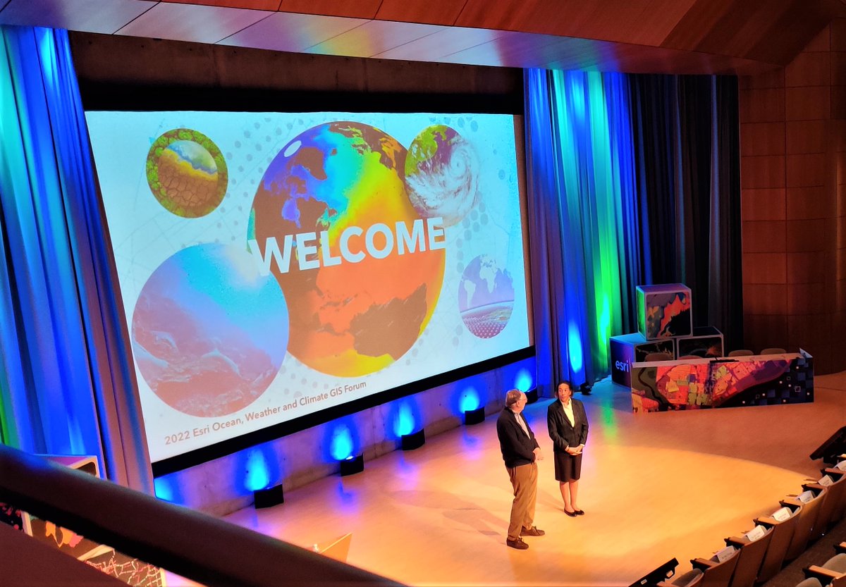
Another Amazing #OWCForum is in the books! Such a pleasure to hear great talks by @deepseadawn and so many others. Major thanks to #Esri & @KVanGraafeiland for allowing us to spread the word about the important #CoastalResilience work being done at Old Dominion University #ODU!
ODU's GeoSEA Center https://t.co/9Pc8yjo0eq is Hiring! Seeking a talented #GIS Engineer Analyst Developer to join our team in developing next-level #geospatial research projects and academic instruction
Apply now: https://t.co/rlPFHF6K0u
#HiringNow#GISjobs#geospatial
"A flood-mapping project developed by @ODU researchers is being featured on @WHRO's 'At A Crossroads' series, which explores how coastal Virginia is coping with rising waters caused by climate change."
https://t.co/HvFtn8Et14
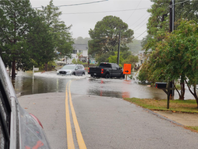
ODU ICAR Research is Showcased in ‘Waters Rising’ Exhibition at the @ChryslerMuseum. Opens Dec 24. Come check out Flood Stories from my work on how drivers respond to flooded roads. And maps and Blue Line project from @ODUGIS and @TomAllenODU
https://t.co/baNGTQHwn1
Expand your personal Map! Learning as Cartography.
The nerd's guide to learning everything online (John Green | TEDxIndianapolis) https://t.co/7lPrGAClp2 via @TEDTalks