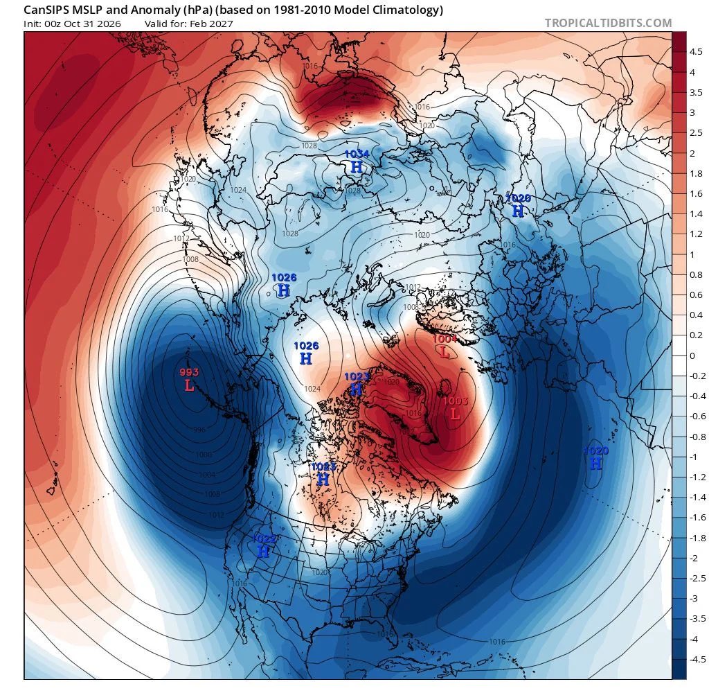
If CanSIPS (Canadian Seasonal to Inter-annual Prediction System) is to be believed there could be a severe winter energy crisis in Europe.
A clear longlasting -NAO signal with lower pressure anomaly to south and into southern Europe with greatest higher pressure anomaly near Greenland.
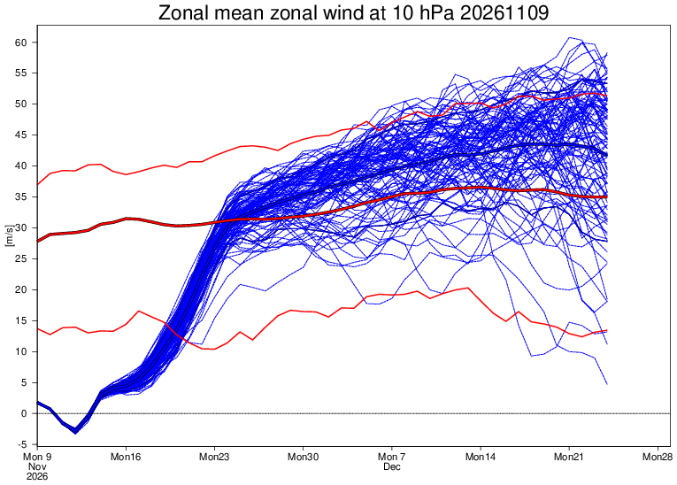
This could be associated with a persistently weak polar vortex & stubborn blocking high in North Atlantic, a very weak and displaced south Atlantic jet stream. And an increased likelihood of very cold weather from north and east. The much needed winter rains may not arrive.
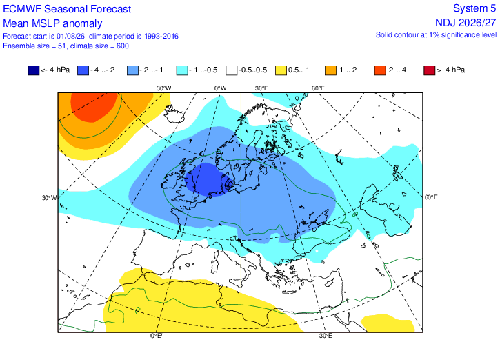
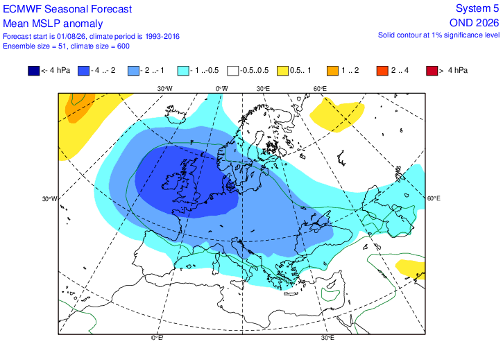
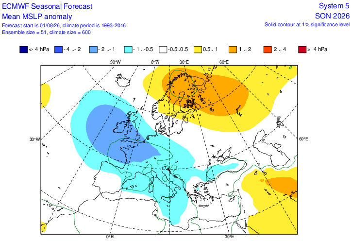
Interesting update from ECM
Much more unsettled signal developing as we head through Autumn
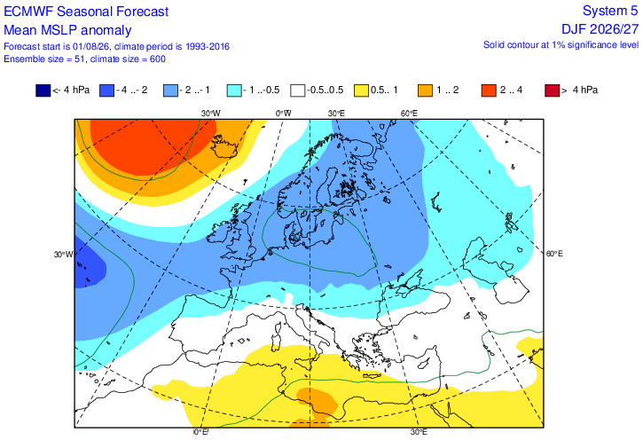
Note the increasing signal for Atlantic/Greenland blocking as we get into winter, would give higher risk of colder weather
Too far out to take literally but this winter is a wildcard
The Met Office app is going completely mental, showing 40 degrees now in my small West Midlands village, this is the highest value I have ever seen forecasted here, beating July 2022.
It goes without saying I think this is massively overdone, I’d predict a max of around 36/7 degs
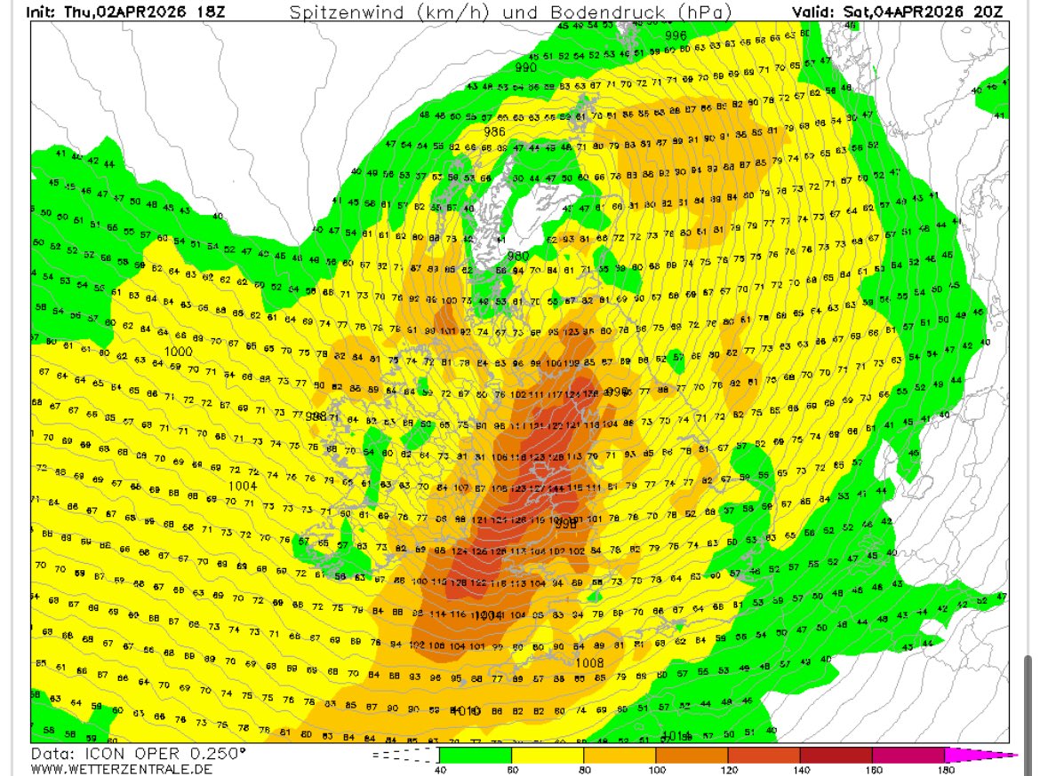
ICON massively upgrades wind gusts for the Welsh coast on Saturday.
I will be on an exposed peninsula in Pembrokeshire on holiday, looking forward to it! 🤣
#StormDave has been named and is forecast to bring damaging winds across northern parts of the UK, with some disruptive snow possible in northwest Scotland later on Saturday and into Easter Day #WeatherAware