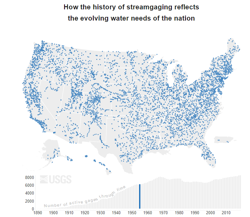
Check out this very informative animation of streamflow conditions for the nation over the first qurter of 2021 -- with annotations on causes and trends.
https://t.co/Uy0RGijRWj
Lot's of clear skies has raised the hydrologic drought level in Washington's southwest and northeast....raising fire danger levels along with it.
https://t.co/W0YlMYgZ3F
Current and forecast rainfall amounts are a key factor in landslide risk. The red line is the threshold where landslide become likely--above that line, landslides are likely. We're there. https://t.co/iEloQMM64X
A new digital geologic map of the greater Portland-Vancouver-Hillsboro metropolitan area of Oregon and Washington is being released today. The geology of the region records more than 50 million years of plate convergence, deformation, and volcanism.
https://t.co/OOAB9jFATU
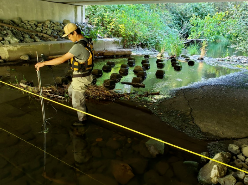
One USGS streamflow station is actually in Canada. Specifically 00° 00' 09" into Canada, which has closed it's U.S. border. Water Survey of Canada to the rescue ! They have offered to tend our gage in the interim (that's Peter Bi measuring flow). Thanks ! https://t.co/O5PxNUBje2
This video, produced by the Washington Department of Ecology #ecologywa, features the team efforts of agencies in Oregon and Washington, and USGS, studying groundwater/surface-water interaction in the Walla Walla River basin.
https://t.co/T4Zc9vvfy7
New Factsheet by US Geological Survey, Stillaguamish Tribe of Indians and Washington Department of Health finds clam and salmon contaminant levels are consistent with previous guidance on fish and shellfish consumption from Puget Sound.
https://t.co/X3F8Ttxm2s
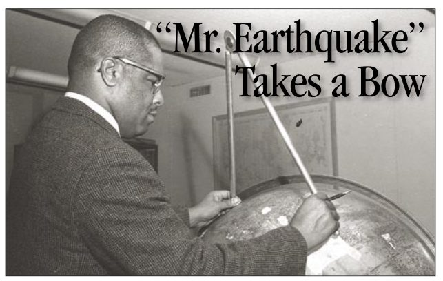
Waverly Person may have been USGS' first black earthquake seismologist, but what he really meant to us was that he was an exceptional scientist and a natural communicator. Read our tribute to him upon his retirement in 2006.
https://t.co/EjTRzwwSSA
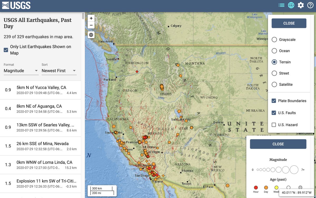
New version of Latest Earthquakes interface! Install it as an "app" on your mobile device or desktop. New features such as an oceans basemap, the ability to display more events, and an improved user interface. #USGS#naturalhazards https://t.co/ypo4hoy1nA
Ever wonder what glaciologists, volcanologists, reasearch scientists, or research geographers do? Check out these short videos to learn more ! https://t.co/ASlaXGirgg
Did you know we can use dragonfly larvae to measure mercury in the environment? The USGS and @NatlParkService did just that in 100 national parks across the U.S. Find out more at https://t.co/Lz0DFpRcli
New !
Puget Sound sand lance contain a mixture of legacy and current-use toxic contaminants that were detected in all Pacific sand lance tissue samples
Sand lance likely contribute to elevated toxic chemical concentrations in salmon and marine mammals
https://t.co/DiisnxGahb