✨ DAY 1 at FAir Tool Training! ✨
Today, the OSM Kenya team and Humanitarian OpenStreetMap Team took part in a hands-on training on the FAir Tool, a powerful GeoAI platform that allows users to build and train their own models using RAMP and YOLO architectures.
🇰🇪 This week in OSM Kenya!
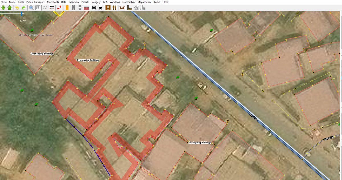
Accurate, high-quality data is the backbone of meaningful maps. As we continue strengthening data correctness and integrity, we’re excited to engage even more with our community across Kenya.
🔥 Big shoutout to @WMayeku from @OSMKenya for ranking 7th in the Fix Map Africa 90 Challenge with an incredible 311,659 edits! 💪🗺️
Your dedication and mapping excellence continue to put Kenya on the map literally! 🇰🇪✨
#90DaysFixMapChallenge#YouthMappers#OpenStreetMap
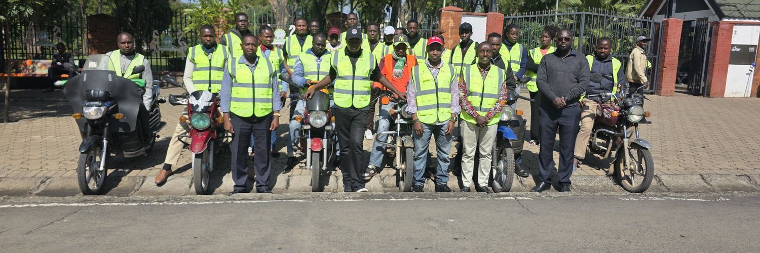
Thank you for the over 44 mappers who joined the evening yesterday to make the campaign lively. Today, we continue with the campaign with a focus on Cameroun. See you fellow mappers, enthusiasts and open data users. 😎😎😎
Watch out on the call link on our WhatsApp groups!
🛰️ Join the #BusogaClimateMapping campaign!
Start mapping roads, buildings, and green spaces on OSM today.
✅ Have you registered yet? Sign up here: https://t.co/kwDxBcjOba
New article alert!
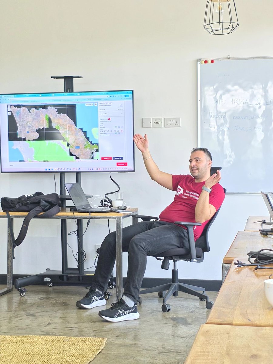
We partnered with @UNHCRUSA & @MSFTResearch to train refugees in #Kakuma/#Kalobeyei to map using drones. The key? Community-provided data trained ML models. All data is open on @GitHub.
Read: https://t.co/iiSSmzpIDD
🎉 𝗛𝗢𝗧 𝘁𝘂𝗿𝗻𝘀 𝟭𝟱!
For 15 years, our community has shown the importance of open mapping, from disaster response to climate resilience & biodiversity protection.
Stay tuned, we’ll share key facts, insights & celebrate the people who made it possible.
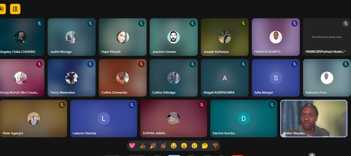
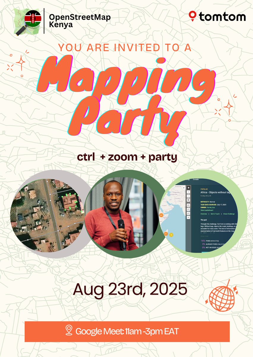
About this incredible mapping party... appreciating every mapper who joined us at any moment to make the party meaningful and fun. Special mention to @TomTom represented by Hajar who stayed on for 4hrs, our incredible speakers. You're the best! #mappingke on @openstreetmap
Are you interested in making OSM data in Kenya better?
Welcome to an exclusive mapping Kenya Party on the 23rd Aug 2025.
A four-hour session of an exclusive hangout mapathon, see you then.
This gonna be fun! Courtesy @TomTom@osmafrica
Sign up https://t.co/lTvoRYuS9y
#osmke
🌍✨ Must-Have QGIS Plugins to Elevate Your Mapping Projects 🚀
One of the biggest strengths of QGIS is its vibrant plugin ecosystem. These plugins are built by the community to extend QGIS far beyond its default capabilities — making mapping faster, analysis smarter, and outputs more creative. Whether you’re just starting with GIS or managing complex geospatial workflows, the right plugins can completely transform your projects.
Here are 11 QGIS plugins you should know — and how they can help you:
🔹 1. QuickMapServices – Add basemaps (Google, Bing, OSM, etc.) instantly for quick context layers.
🔹 2. Aino – AI-powered OSM access. Just type “parks in Barcelona” and it fetches the data. No coding needed.
🔹 3. MMQGIS – Bulk data processing: merge layers, geocode addresses, run joins, and clean attributes with ease.
🔹 4. Data Plotly – Create interactive charts (scatter, bar, histograms) linked to your map canvas. Great for storytelling.
🔹 5. TimeManager – Animate temporal changes (urban growth, climate change, land use) directly in QGIS.
🔹 6. Profile Tool – Draw a line across your DEM and get an instant elevation profile. Essential for terrain analysis.
🔹 7. OSMDownloader – Select an AOI on your map, download OSM data (roads, buildings, POIs) in seconds.
🔹 8. QGIS2ThreeJS – Build stunning 3D maps with WebGL and share them in any browser.
🔹 9. SRTM Downloader – Quickly grab elevation data from Shuttle Radar Topography Mission without external tools.
🔹 10. LAS Tools – Process LiDAR data (classify, filter, thin, generate DEMs/DTMs) directly inside QGIS.
🔹 11. Value Tool – Compare raster values in real time by hovering your cursor over the map.
✨ From basemap integration to 3D modeling, LiDAR processing, and time-series animations — these plugins showcase the full power of QGIS
#GeoDev #QGIS #GIS #Mapping #OpenSource
📍 You’re invited to the OSM Kenya Mapping Party 🎉
🗓 Aug 23rd, 2025
⏰ 11am – 3pm EAT
📍 Google Meet
Let’s ctrl + zoom + party while mapping together! 🗺️✨
👉 Register your attendance here: https://t.co/PQNfFcZPz4
#OSM#MappingParty#OpenStreetMapKenya#GIS
Are you interested in making OSM data in Kenya better?
Welcome to an exclusive mapping Kenya Party on the 23rd Aug 2025.
A four-hour session of an exclusive hangout mapathon, see you then.
This gonna be fun! Courtesy @TomTom@osmafrica
Sign up https://t.co/lTvoRYuS9y
#osmke
When we boast of open data advocacy, we can all do something to make clean data available. As we celebrate the 21st birthday of @openstreetmap let's remember to make some edits on the database. Also, choosing this day to celebrate a hero @iddichazua keep resting in power. #osm21