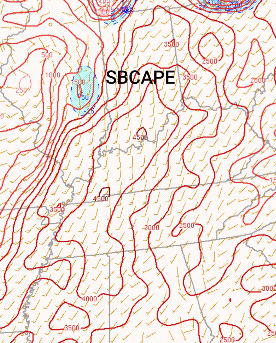
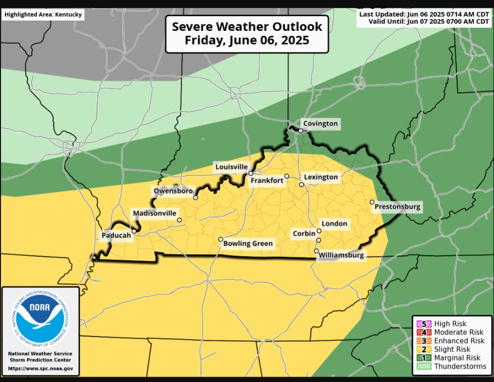
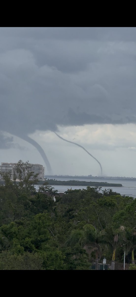
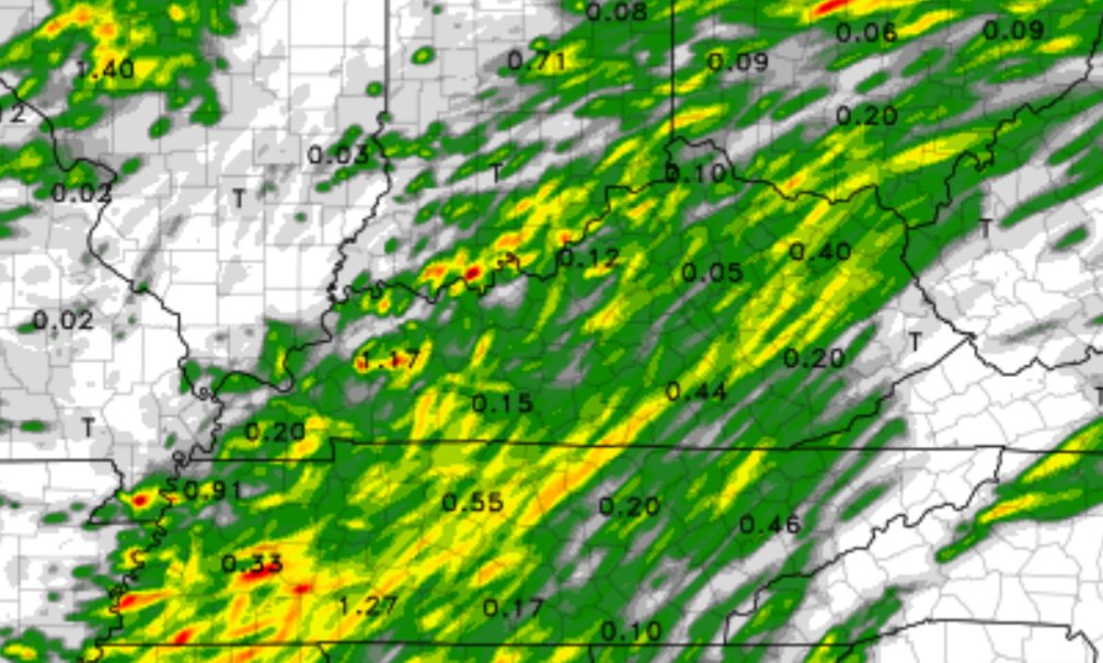
Alot of Storm Fuel out there. Up to 4500J/Kg of SBCAPE and 2500-3000J/Kg of MLCAPE with plenty of clearing. A little higher than what some models anticipated. For that reason, the Enhanced Risk got expanded again to now include areas along the Highway 68 Corridor. #kywx
The NWS in Jackson is currently down due to a communication failure. The NWS in Wilmington, Ohio is providing backup.
With severe weather possible across eastern Kentucky today, this is potentially a big problem. #kywx
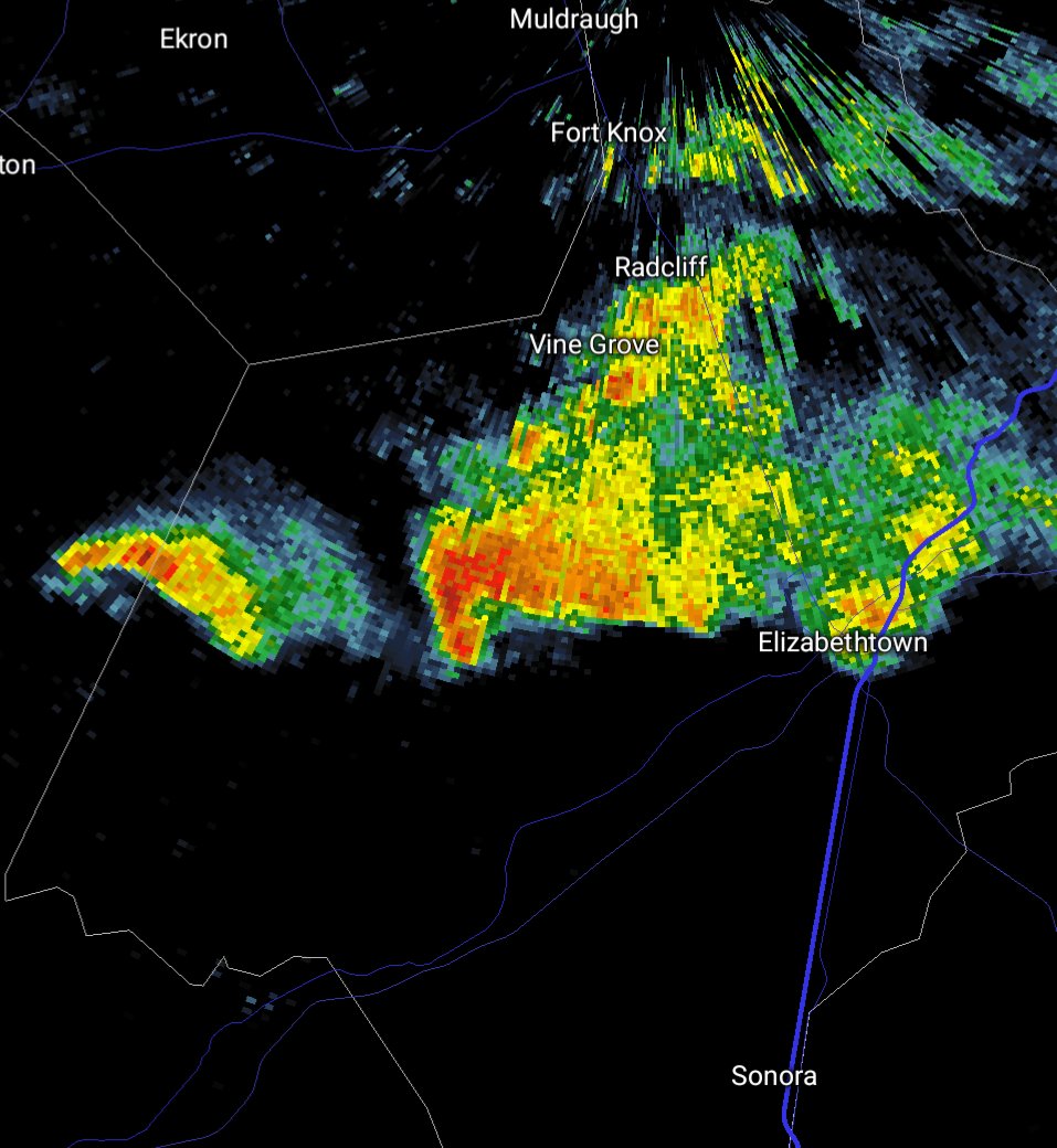
This was moments ago on Hwy62 heading to E'Town from Eastview, sent into us from Jessica Marcum. Reply with any photos/videos and be sure to tags @NWSLouisville so they can see your reports too!- George
No severe weather with this but here's your mini supercell structure. Inflow tail, broadly rotating wall cloud, even a corkscrew updraft. Taken by me on Hwy 86 near Dyer along the Breck/Hardin County line. #kywx@NWSLouisville@MarcWeinbergWX@WLKYJayCardosi@WAVE3Weather
Pretty much no changes to the Forecast for Today. Scattered Strong to Severe Storms is likely for Central and Western Kentucky. Main Hazard is Damaging Winds. Hail and a Brief 🌪️is possible. I think there is a locally higher chance of a 🌪️in the Purchase Region at West. KY. #kywx
Here was the Forecast Sounding South of Mackville KY moments before the Tornado Occurred. You had a localized environment of Very High 3CAPE + Surface Vorticity which is what the Storm took advantage of. While SBCAPE was pretty weak, the 3CAPE likely overruled that factor. #kywx
#SRRadarLoop of the Somerset-London tornado. This tornado was rated EF4 with 170 mph winds in the town of London and was up to 1 mile wide. Shout out to @nwsjacksonky for excellent warnings and @Kentuckyweather for great coverage.