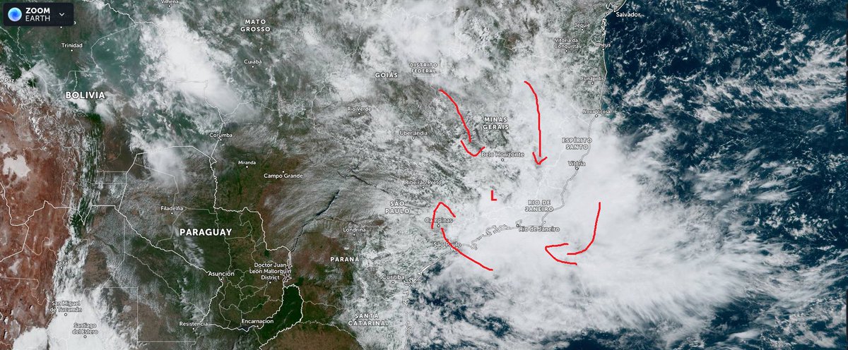
@DramaAlert It’s not a double hurricane buddy that has never existed, not possible because of fujiwhara effect. It’s a front of convective thunderstorms preceding the storm
@LckyTuba Nisha Orama had pretty high D score as well based on satellite. Hina was also reestimated by Karl Horarua in a reanalysis of SPac Cyclones, and was found to be 170 knots
The CSU is still calling for another above average season with 20 named storms 10 hurricanes 5 majors with a ace total of 180 this include Alex, Bonnie and Colin. #Hurricanes#hurricane22
And another nuclear threat to the UK from Russian state TV's Dmitry Kiselyov:
He says his country's Poseidon nuclear underwater drone could cause a tsunami that would "plunge the British Isles into the depths of the sea" and turn them into a "radioactive desert" (with subs)
2S7M Malka 203mm heavy artillery and 2S4 Tyulpan 240mm heavy howitzer passing through Tyumen. These are the heavy artillery pieces you would use for a siege of a city.
Life in Russia is deteriorating extremely rapidly. So many of my friends are packing up & leaving the country. Their cards are blocking. Huge lines for ATMs etc. Rumours that borders will close soon. “What have we done? How did we not stop him earlier?” said a friend to me yday
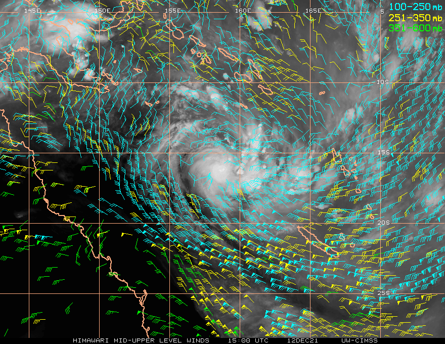
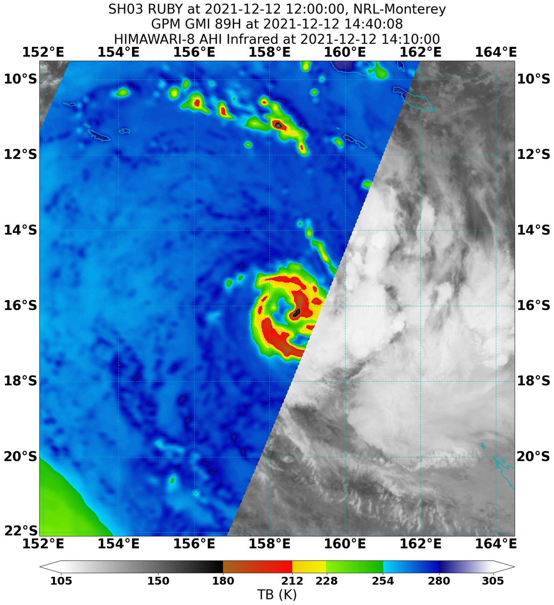
Previously suggested by the rotation of vortical hot towers around the center of #Ruby, an eyewall is now shown on 89gHz microwave imagery. The divergent nature of the upper-level flow, lower shear (also on 1-9km hodograph), and ~30C SSTs could cause more rapid strengthening soon
Invest #93P is developing at a rapid pace south of the Solomon Islands, with pronounced mid-level rotation leading to a curved cyclonic banding structure. Model guidance unanimously brings the storm close to New Caledonia within 5 days, likely as a powerful cyclone.
This was the historic day when Martha made landfall in Panama. Since it weakened before landfall, there has yet to be a landfalling hurricane in the country.
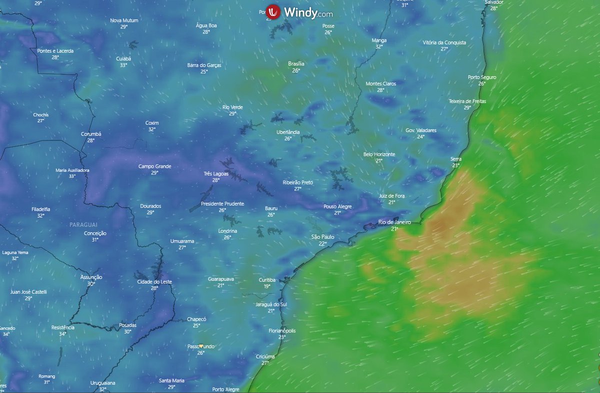
Our meteorological services said that we might have a subtropical storm forming this week.
This is the AOI, with some low level convergence over the continent.
If it goes over water and forms, it will be designated by our Navy. I still don't know the list of names.
@WxPatel@burgwx I’ve seen this documented as well, one of which I believe was described as haves winds over 100 mph. If it holds true that shows just how periodical weather can be, with tropical cyclones in the Persian Gulf, though it seems unlikely
#Shaheen has developed a ragged eye, although central convection is not particularly strong possibly due to the drier air mass and less than ideal ocean heat content in this area. Still, it is going to be one of the most significant storms in the Gulf of Oman.
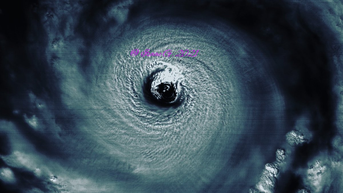
On the other side of the world, we have a recently upgraded Category 5 #SuperTyphoonMindulle in the Western Pacific packing 140kt (160MPH) winds.
Unfortunately, #Mindulle could potentially pose a threat to #Japan in a few days.