New @UMD_GLAD study: using UAV lidar over Senegal, we found dryland woody cover maps agree on just 2.8% of the country, each matching different height (>2–6 m) & cover (>34–55%) definitions. Read more: https://t.co/tMQ2jR1KkI #RemoteSensing#UAV#Senegal#WoodyCover#Drylands
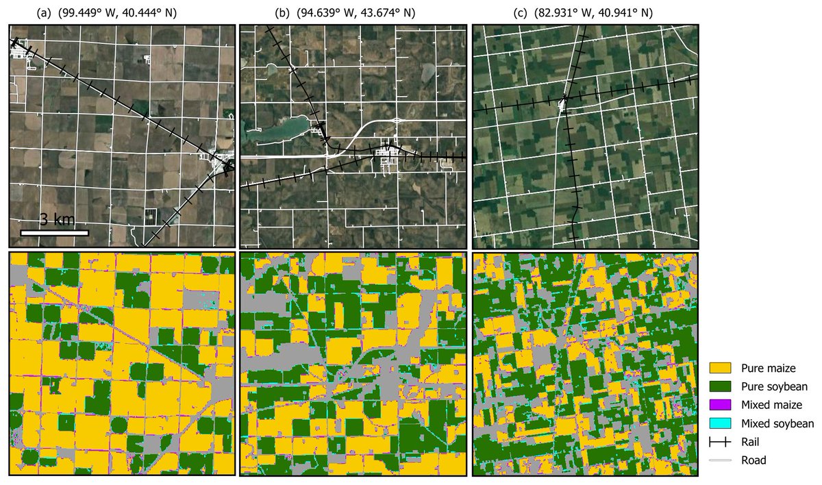
So excited to share my first PhD paper! Years later, this work is published finally! Also check out the 10-m crop map over China on the Earth Engine App here. https://t.co/pErR8Emqsy | Home https://t.co/KscV1XZ9fM
The fight to keep @GEDI_Knights on the #ISS continues but we’re running out of time. Tonight @nbcwashington aired a summary of the current situation - spread the word, help #KeepGEDIUp@NASA https://t.co/YFd0OFHbCn
NEW: @landcarbonlab is partnering with @UMD_GLAD on the first ever high-resolution map of global #LandCover change over the last 20 years.
Explore the preliminary data: https://t.co/Ncxx7Z7iLL
LIVE NOW: We are launching the #Landsat 9 satellite aboard a @ULALaunch Atlas V rocket from Vandenberg Space Force Base in California to continue a nearly 50-year legacy of observing our planet.
Liftoff is scheduled for 2:12pm ET. 🚀 https://t.co/YQoylnR2bu
Check out this BBC video on deforestation using the data on globlal land change from Xiaopeng Song produced at @UMD_GLAD (currently at @TexasTech) and published in @nature last year https://t.co/WAeqbdD4EV https://t.co/dZIWlXfXPn