Smooth lines in tactical-graphics 4.5. One setting, every engine: OpenLayers, MapLibre, Cesium, and ArcGIS.
https://t.co/dXlkHGYcWc
npm i @zaes/tactical-graphics
Tactical graphics, MORE 3D 😎
An air corridor, seen from the side: floor and ceiling against the terrain. The tightest clearance is marked on the chart and the map. Over 300 FM 1-02.2 and NATO APP-06 graphics.
Find out more at https://t.co/dXlkHGXF6E
Tactical graphics, now in 3D.
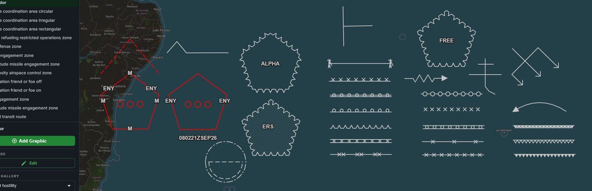
Our new Cesium add-on draws all 300+ MIL-STD-2525E and APP-06 tactical graphics on real terrain. Airspace respects its floor and ceiling, and you get to drag either one to change it. Export to KML or CZML.
Ask us about it: https://t.co/S2S5yOO2Xw
Getting around to adding one more to the explosive obstacle family - Roadblock Complete (Executed).
@zaes/tactical-graphics 4.2.2: now with family values.
https://t.co/OcOxh17eL8
npm i @zaes/tactical-graphics
Sorry for blocking traffic in the San Juan area 😎
People who say “less is more” clearly aren’t talking about tactical graphics. We just added 26 more, along with improved compliance with standards. And there’s more to come - we don’t stop! https://t.co/OcOxh16GVA
I'm about to release a MASSIVE addition to the mission verbs / tactical control measures / graphics, using @ZaesDev's https://t.co/c2uNwqGYVt (THANK YOU!).
This means some of your already placed stuff may look different. So please doublecheck after the update.
We open-sourced the hard half of military mapping.
293 MIL-STD-2525E / FM 1-02.2 / NATO APP-06 control measures as editable GeoJSON. OpenLayers + MapLibre. MIT.
npm: https://t.co/TDZByxwEee
All 293: https://t.co/Ddxquryme5