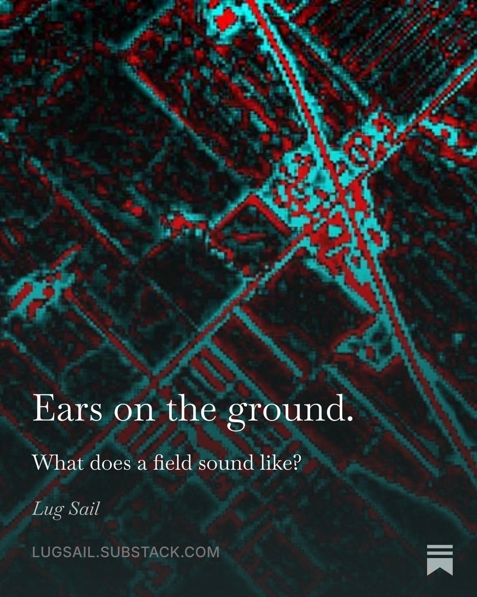
Wrote a substack post about data design limitations, farming, multiple
Sclerosis, and synesthesia.
Tldr: visual data is only visual because we present it visually.
https://t.co/q7XGowlAM1
2/2
You'd find a known North Korean IT worker's Gmail listed as `MANAGER_EMAIL`.
Don't engage.
———-
(I contributed to a project about NK tech worker scams at WSJ: https://t.co/kVCo3Vi3SM)
1/2 If you get this scam email mentioned on @newsycombinator...
Then pull the reply-to email address...
Then search it on Github and found their latest account...
Then open that account's most recent repo...
Then open .env.example file someone forgot to scrub...
4/6
ChatGPT & Claude are nice surface-level entry points to the bigger/better products. One's that are not as visible at the moment. But they’re easier than ever to pick up.
3/6
Same for OpenAI (and to a lesser extent Anthropic).
Anthropic’s "thinking" campaign provides some cover from the coming AI Feature War. But OpenAI can be (should be) louder about connecting its tech/data prowess to everything it brings to life.
@richardzphotoz The problem is endemic across tech now. With AI & crypto, comms can't cover launches with surface-level quotes. My guess: ChatGPT & Claude are responses to this failure - engineers so frustrated by poor storytelling they built interactive layers where the product explains itself.
It pulls in stills from fire cameras across California so you can see what’s going on, which matters with microclimates.
(Sidebar: the latest frames go through a basic AI image-recognition engine. The results are meh-at-best. But always fun to guess the “giraffe” or “cake”.)
One thing I miss about #HongKong is the Observatory’s Weather app. Mainly, the live video feeds from across the territory. Deciding beach day or a hike?Overcast-ness matters! 👀
California’s microclimates needed it.
So, I put this map together https://t.co/XvfLfXKaqX.
@sama Makes sense. ChatGPT takes on communicating what AI could be for the end user & meets us where we are… something that tech comms struggles with. Video is the same. It’s puppies seeing a mirror for the first time, while NASA uses same mirrors to map origins of the universe.
How reliable are GPS signals in aviation? The chart highlights signal fluctuations by the Navigation Accuracy Category for Position (NACp), helping us identify when and where GPS performance dips. A rating of 6 or below indicates poor signal quality.
I've been working on this weekly project with our Aviation team @SpireGlobal, showcasing our ADS-B data.
We’re watching GPS signal quality near/over conflict zones.
This includes NIC (Navigation Integrity Category) and NACp (Navigation Accuracy Category for Position) ratings.
The stakes are high in the skies above conflict zones, where GPS reliability can be compromised, leaving pilots and mission controllers uncertain of the exact aircraft location.
The Baltic Sea region has seen a rise in GPS jamming and spoofing, impacting aviation data reliability. @SpaceADSB's latest data visualization takes a look at average Automatic Dependent Surveillance-Broadcast (ADS-B) Navigation Integrity Category (NIC) values over this area, crucial for GPS quality grading and flight safety.
📡 What does the image show? Each hexagon on the map represents the average signal grade, aiding in understanding ADS-B signal quality in this airspace.
📊 Why is this important? Accurate ADS-B signals are vital for safe air traffic management. Monitoring these values enhances surveillance and communication, improving aviation safety.
🔗 How do you think ADS-B technology advancements shape the future of air traffic control? Share your thoughts below!
We're dedicated to improving life on Earth all year. With our pioneering space tech, we empower businesses to navigate and address climate change. Learn about our unmatched global weather insights, gathered from over 100 satellites: https://t.co/uIhy8wLmXo #EarthDay#InSpire
Brutal heat waves: Rio de Janeiro set a new record for heat index, which factors in temperature and humidity, of 62.3ºC (144.1ºF) on Sunday. South Sudan closes schools and faces disruptions amid a dangerous heat wave with highs of 45ºC (113ºF) and lows of 35ºC (95ºF) for some.
When you hear about clear air turbulence, you may be asking what that term really means. We have the details on what causes it, how it's detected, and what airlines are doing to avoid it. Read the full story: https://t.co/3jZCI1H4Vy
#ClearAirTurbulence#FlightSafety
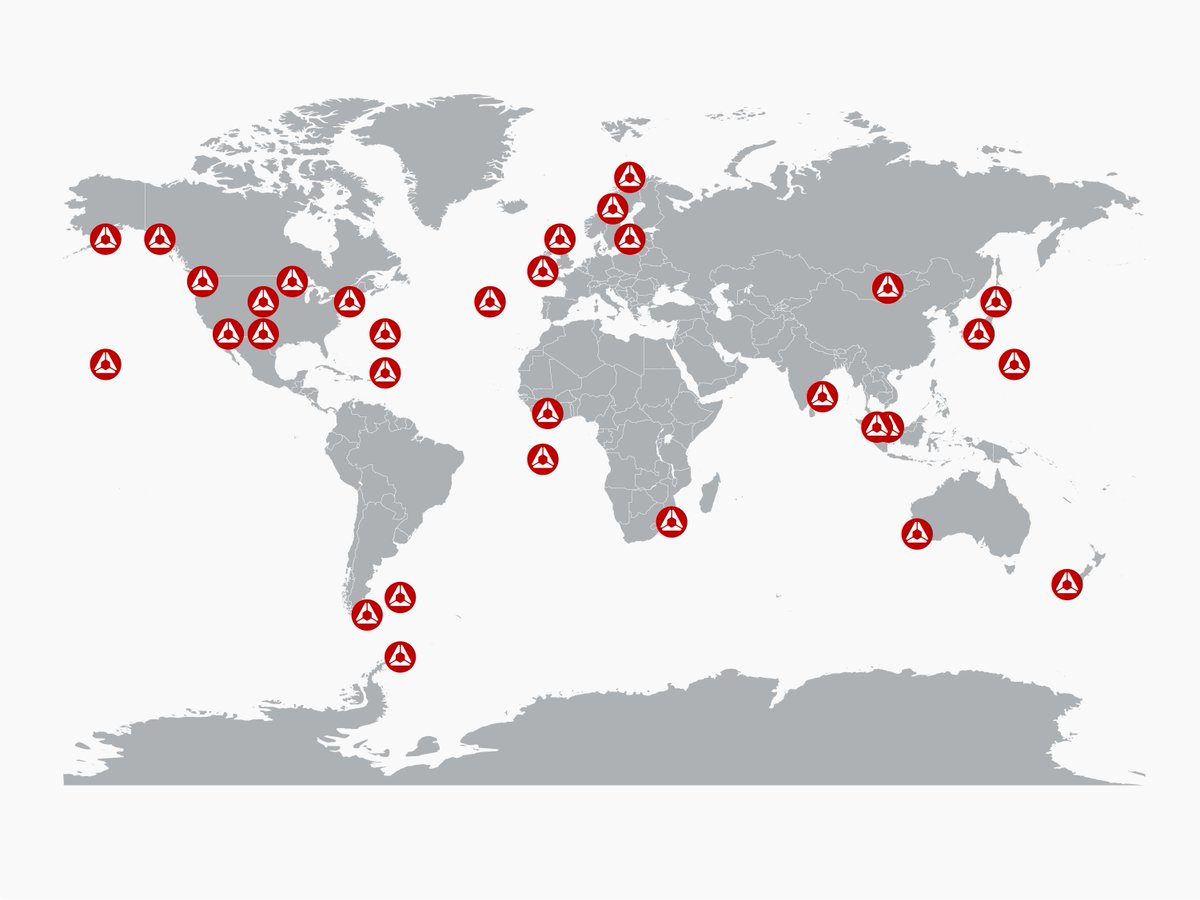
📡 Ever wonder how we communicate with our satellites in orbit?
Meet our ground stations – hubs strategically placed around the globe for essential data transmission. These stations handle uplinking and downlinking, ensuring constant communication with our satellites.