A global provider of AI-powered satellite imagery analytics. We want to bring humanity one step closer to a Sustainable Earth with the power of satellite tech🛰
We’re launching a Risk Monitoring platform to help you detect field risks early, before they become losses.
Be among the first to try the platform: https://t.co/ZrsA0X0BD2
#DigitalFarming#AgTech
Introducing Crop Yield Intelligence — a platform that turns raw data into clear insights for your fields.
🔗 Learn more about our solutions for agriculture and land use management:https://t.co/QbhZmV44de
#AgTwitter#DigitalFarming#AgTech
EOSDA and @dragonfly_space will jointly present optical and SAR payloads to the market at SmallSat Europe 2026 in Amsterdam.
If you want to discuss partnership opportunities, book a meeting with Artem Berehovyi, CBDO at EOSDA: [email protected].
@SatNewsEvents@SpaceNews_Inc
Satellite data is no longer a niche capability — it's becoming part of how industries operate at scale.
Our team shared their key takeaways from the Geospatial World Forum. Read them on our blog: https://t.co/EbSKnC7bnb
How can satellite data help assess flood damage?
In our new case study, we used SAR and optical imagery to analyze the #Coimbra floods from the #Mondego River overflow to specific building damage.
🔗 Read the full case study https://t.co/svXLtGuefs
#portugal
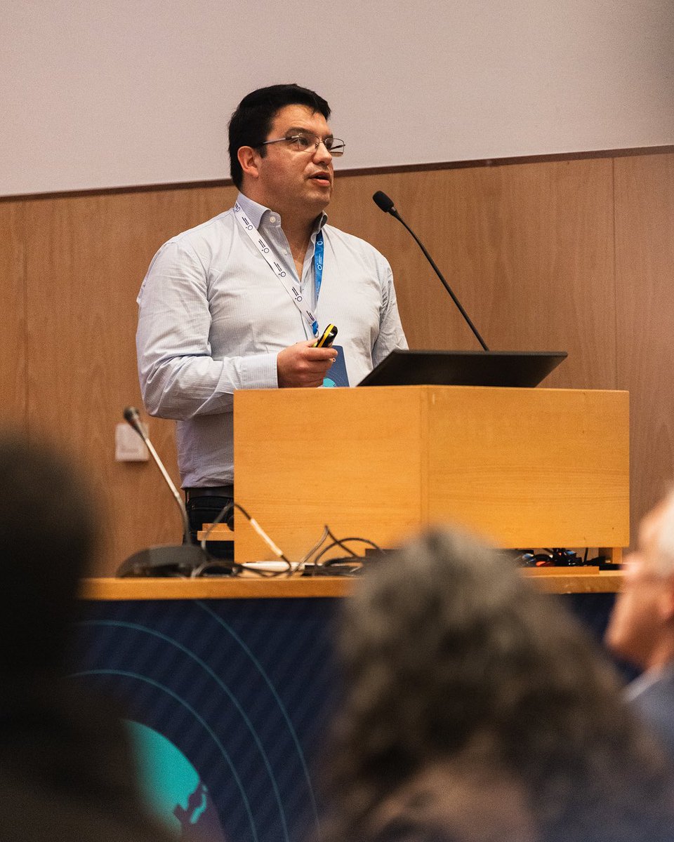
We attended Geospatial World Forum 2026! Five days of networking, partner meetings, and insightful sessions with experts in satellite and geospatial technology went by quickly.
Here are a few moments we’re glad to share 🛰️
@geospatialworld#gwf26
EOS Data Analytics is among the technology providers featured in the @EU_Commission “Study on the automatic delineation of parcels,” prepared by @PwC.
🔗 Explore the case study: https://t.co/HVMJPGkpdu
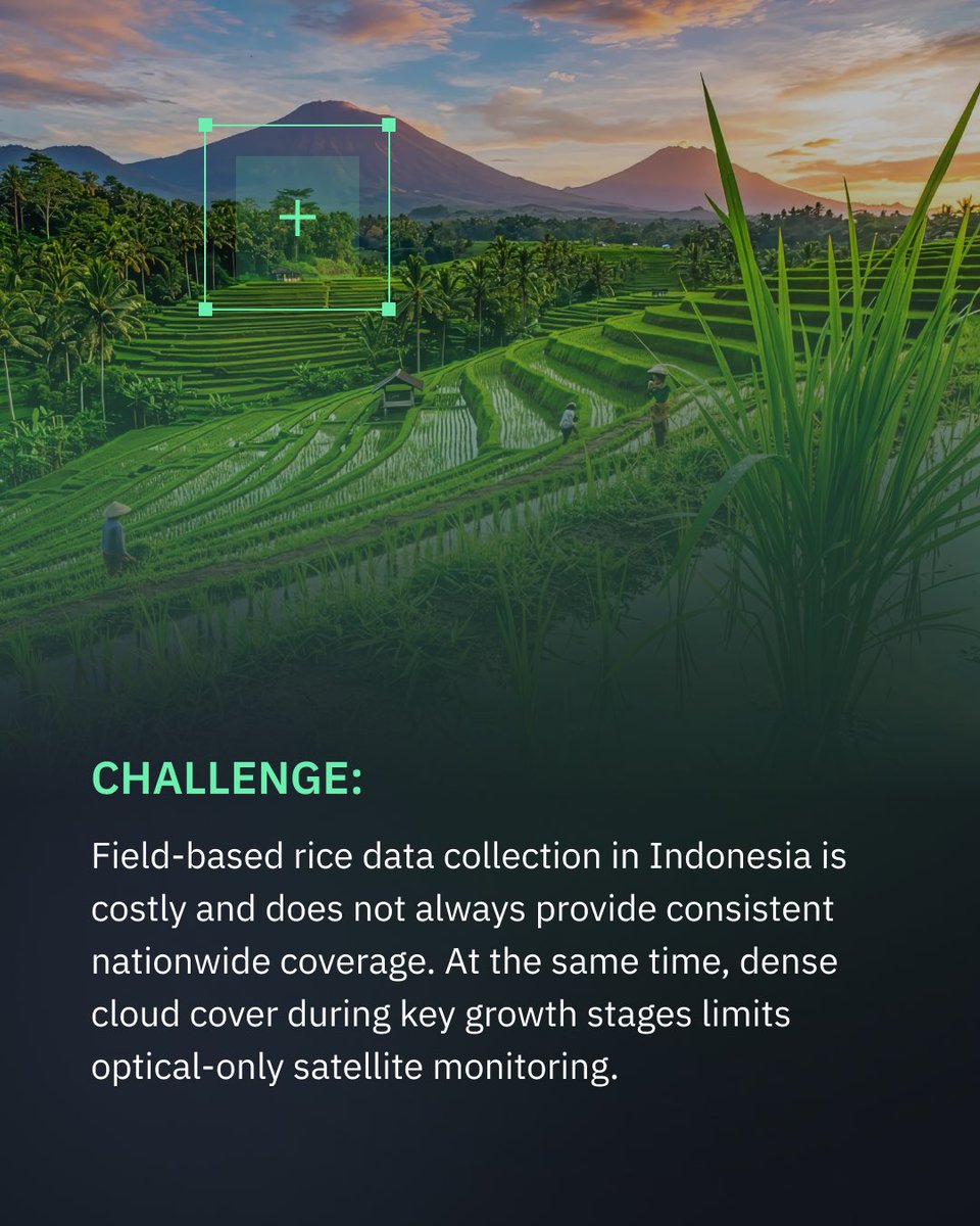
🇮🇩 Rice monitoring in #Indonesia is often limited by cloud cover and gaps in field data. We combine #SAR and optical data to ensure consistent rice field detection across the season.
➡️ Swipe to see how it works and read more: https://t.co/MODGZX6jkL
🌒 The #Artemis II Moon mission is pushing the boundaries of space exploration.
But it also reminds us: seeing Earth from orbit changes how we understand our planet.
🛰️ At #EOSDA, we use this perspective to help solve down-to-earth operational problems: https://t.co/biH9gr7q3N
The use of satellite data for real-world decision-making is accelerating. Our team attended the Terra em Foco conference in Coimbra. Our wildfire project under ESA #InCubed uses #EOSSAT1 data to assess risks and support recovery. Thanks @portugalspace
https://t.co/spm1zeKH8f
Satellite technology can support Portugal in addressing climate change impacts, especially during wildfire seasons. In the Coimbra Region, we turn data into tools for risk assessment, prevention, and recovery. Thank you, @cnnportugal, for covering this: https://t.co/pH0DcU7gWy
EOSDA joins @ESA_EO#InCubed to tackle wildfires in Portugal. Now we’re deploying satellite monitoring using #EOSSAT1 data to map risks, track damage, support recovery. Implemented together with @portugalspace and CIM Região de Coimbra. Thank you!
More: https://t.co/PNJbcTJp2T
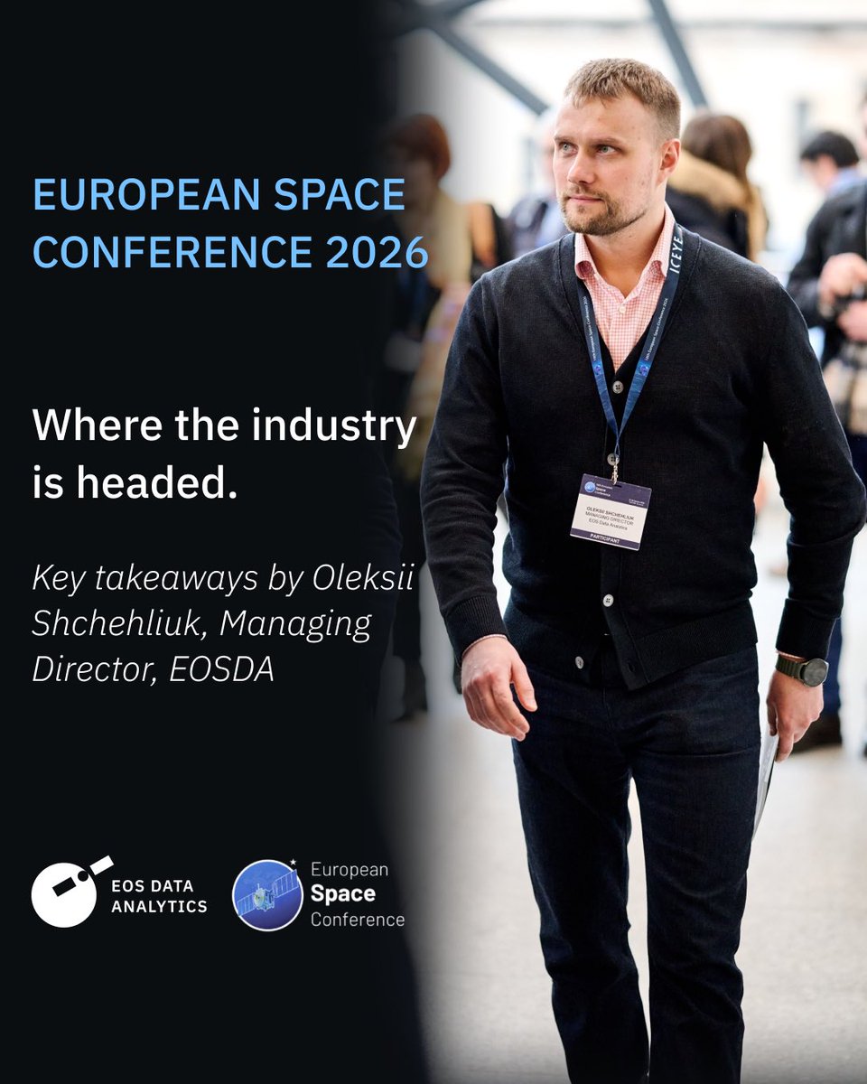
How is a record $22.3B budget reshaping European space?
EOSDA’s Managing Director Oleksii Shchegliuk breaks down the top insights from the 18th European Space Conference — from AI-driven intelligence to industry consolidation: https://t.co/msZAzyBUXM
🔔Jingle bells, jingle bells, jingle all the way to unlimited satellite imagery! Yes, we just made satellite monitoring festive. Someone had to 💪
15% off a Monthly subscription or 2 free months with an Annual subscription. Valid until January 4: https://t.co/8a1HajoPOK
This #Sentinel‑2 scene captures the #Richat Structure in striking detail — concentric rock rings, subtle elevation changes, and surrounding dune fields all in one frame. Med-res imagery like this is ideal for regional geology: https://t.co/cPbv5LCA2j
Today, on World Soil Day, we're making the invisible visible.
HORIZON lets you see your soil carbon changing - paddock by paddock, as a map.
Built with @eos_da. Validated against 20,000+ Australian soil samples.
See your soil like never before 👇
https://t.co/Z4h78kjioP
The smooth gradient from dense dark ash to pale thin layers highlights plume height and wind influence. Muted ground tones and fading vegetation traces show how ash loading reshaped the landscape and stressed the region’s ecosystem after the eruption. 2/2
@eos_da@EOSDALandViewer
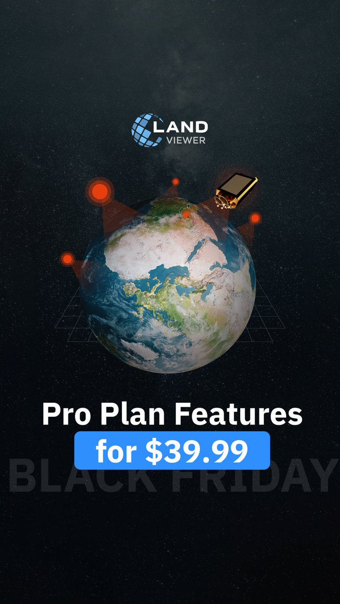
Get EOSDA #LandViewer Pro Plan at a special Black Friday rate — available until November 28 📅
Monthly plan: $39.99
Annual plan: +3 extra months free
Offer ends soon: https://t.co/PxCGJYSXXN
Terms and conditions details: https://t.co/TeGZooj8ua
NDVI in #EOSDA LandViewer — free after registration: https://t.co/pV3Z1G0rjF
#NDVI (Normalized Difference Vegetation Index) is the most popular vegetation index.
Available for free after registration: https://t.co/pV3Z1G0rjF