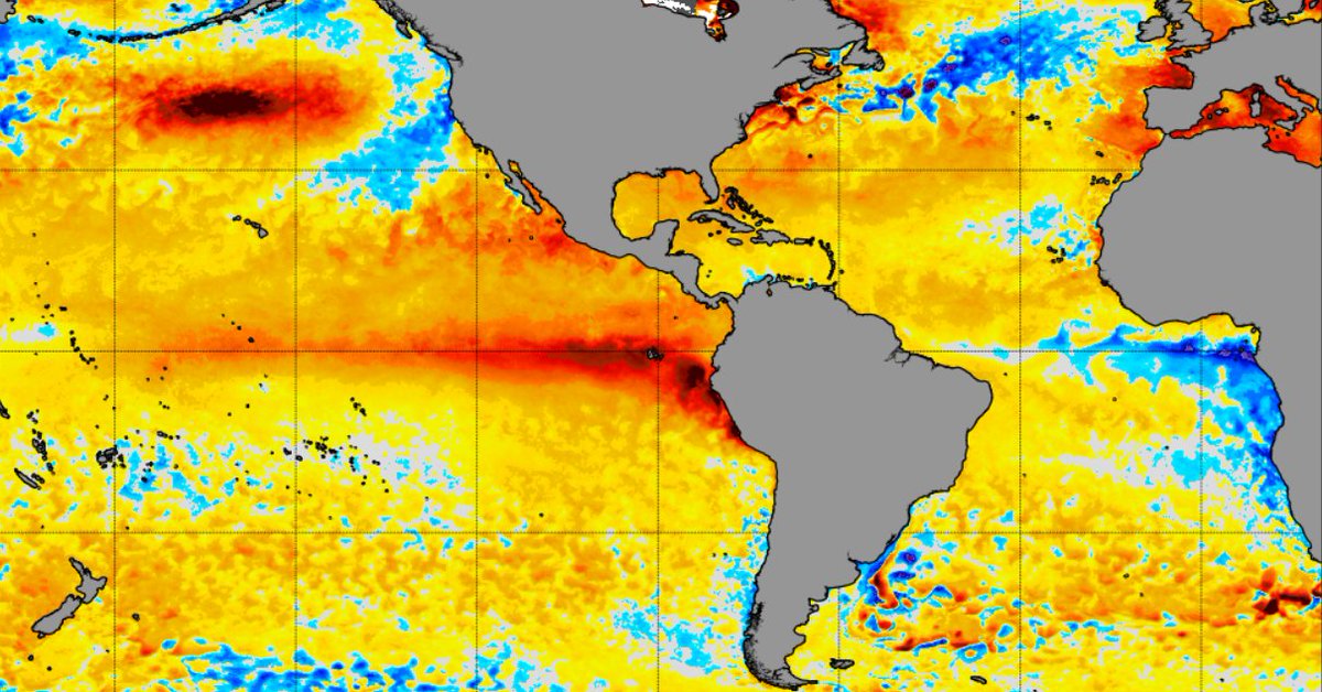
"This repetitive pattern could nudge El Niño's peak intensity toward the higher-end scenarios."
That's the higher-end of these already record high scenarios..
El Niño peaking at 4.5°C above the 1991-2020 average would be diabolical, to use the scientific term.
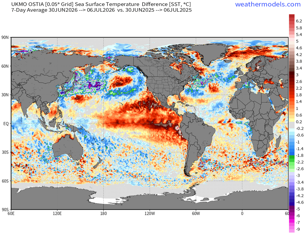
While the tropical Pacific has warmed considerably due to intensifying Super El Niño, much of the rest of the global oceans overall is cooler today compared to last year (2025)
2026 this week minus 2025
Os processos por trás do potencial período de tempo severo na segunda quinzena, mencionado pelo meu colega @GoedeTDS, já podem ser interpretados como uma das primeiras respostas atmosféricas ao El Niño. A circulação de grande escala está se ajustando ao aquecimento do Pacífico.
Westerly wind burst after westerly wind burst after westerly wind burst.
In the equatorial Pacific, these ocean heat-shifting winds show no signs of easing in the months ahead.
This repetitive pattern could nudge El Niño's peak intensity toward the higher-end scenarios.
Copernicus Atmosphere Monitoring Service (CAMS) global aerosol optical depth (AOD) forecasts since 1 July highlight intense Saharan dust & wildfire smoke being transported in both directions over the North Atlantic Ocean.
@ECMWF
⬇️