Research Fellow #Politecnico di Torino , Italy
#Cartography and #GISs enthusiast | Research projects: 3D Cartography, LiDAR, Object Detection and Remote Sensing
3D webmaps using #OpenSource MapLibre GL JS are here! All previous apps, styles & custom maps will still work & are now 3D-ready.
Read more on our blog: https://t.co/78GZmu0Z2o
#maplibre#3d#javascript#webmapping
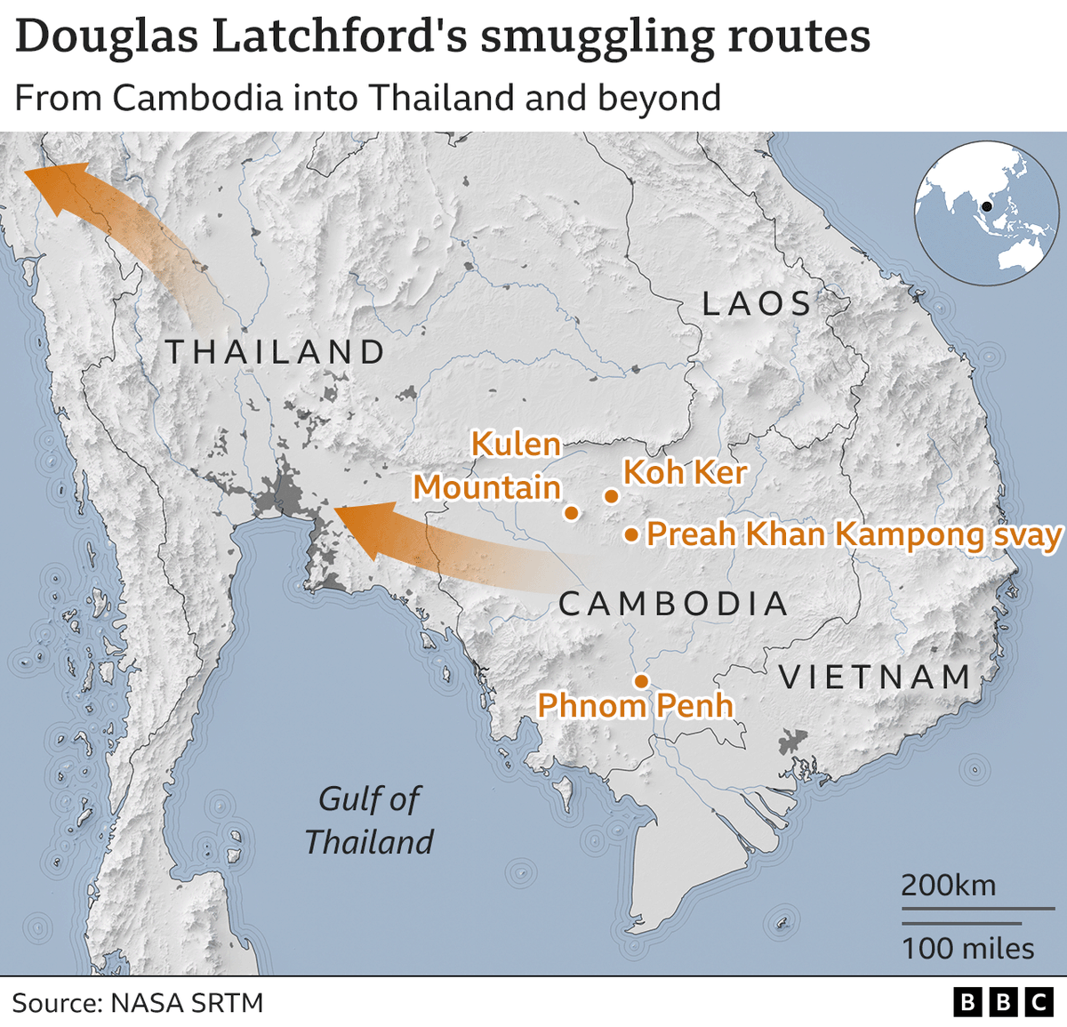
Be ready to see a lot more Blender elevation in BBC News graphics!
Turning what could be a boring map into something a bit more exciting #Blender3d#b3d
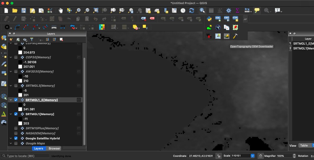
Just became aware of this new, very cool, "OpenTopography DEM Downloader" #QGIS plugin: https://t.co/JY96j9ACDr Allows you to pull SRTM, NASADEM, SRTM15+, AW303D, CopernicusDEM etc directly into QGIS via the OT Global Datasets API. By Kyaw Naing Win 🙏.
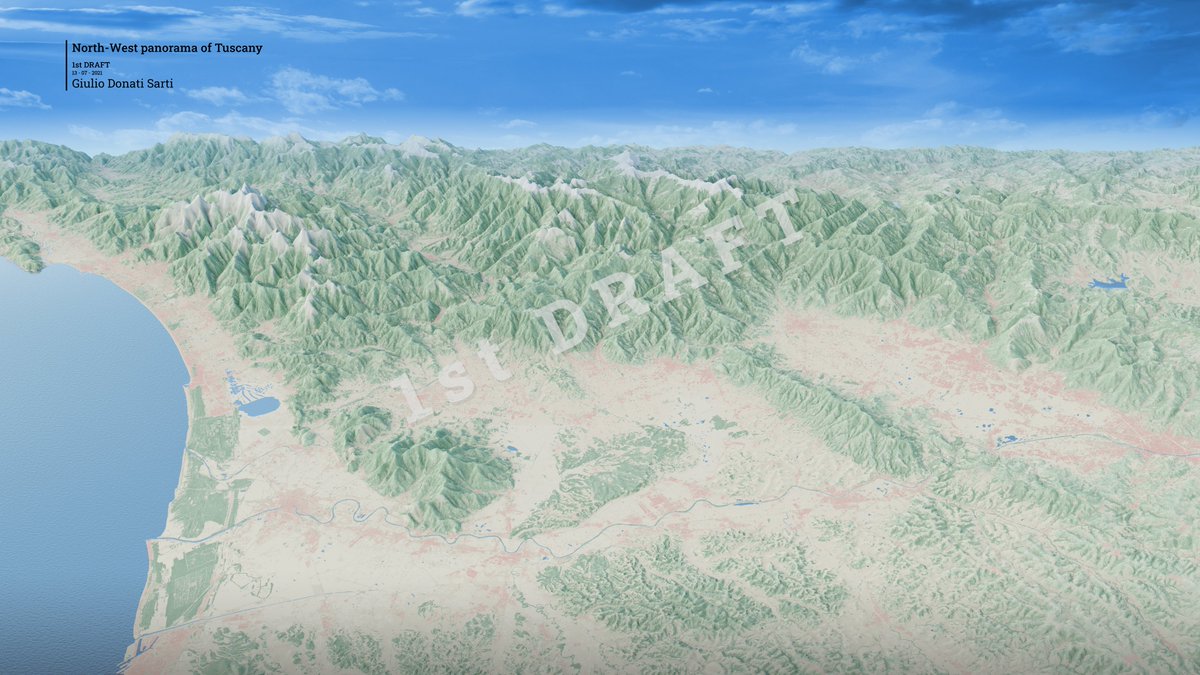
@LATIDUDEmaps Grazie mille! Il secondo draft è ancora nel cassetto... non sono riuscito più a lavorarci.
Ho visto i tuoi lavori sono molto interessanti, mi piacerebbe scambiare due informazioni!
With #QGIS 3.22, you can now correct yourself imperfect DEM.
Here, a raster DEM is transformed into a mesh layer.
After editing, it is possible to transform the mesh back into a raster.
The NPS map of Cedar Breaks NM, Utah, has undergone metamorphosis over the last ten years. These are the versions from 2011, 2017, and 2021. @JoeMilbrath made the latest 3D map.
Cartography Playground, a simple and interactive website for explaining cartographic algorithms, problems and other matters. It is aimed at students of cartography who want to refresh and deepen their knowledge. https://t.co/63KxkYe9Ke via @weeklyOSM
I've decided to start logging my mountain missions, and have added a "Mountains" blog section to my website.
The first post is up: ski touring in to an ice climb in The Remarkables.
Each post should hopefully contain a #map.
https://t.co/2sETlLTtgG
Oggi partiamo da qui: da una mappa della #TreeEquity in America https://t.co/cPPRdRJn5h. Ora con #GianlucaPiovesan@unitusviterbo "Ognuno di noi in Europa ha diritto a 18 metri quadri di verde, accessibile nelle vicinanze della propria vicinanza. Il verde pubblico è un diritto"
4 years ago I joined @ItoWorld - each frame represents a unique way of looking at spatial data.
Technology changes and workflows evolve but being able to create visualisations that educate, engage and inspire is always at the heart of what I do at Ito!
#maps#dataviz#3d
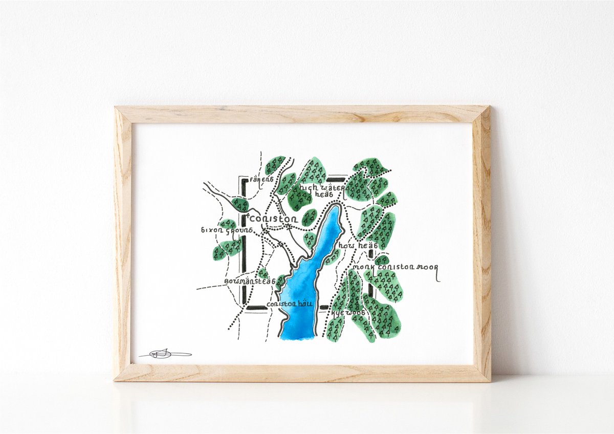
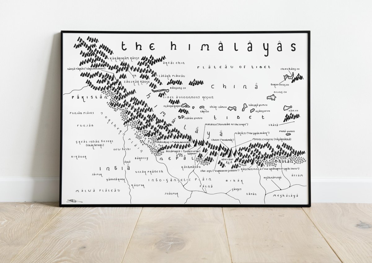
Map fans! It's time for an end of February giveaway! 🗺️
I'm giving two people the chance to win a map print of their choice from https://t.co/xgptLUl4cI!
If you'd like to enter, simply RT and follow and I will pick two winners at random tomorrow evening.
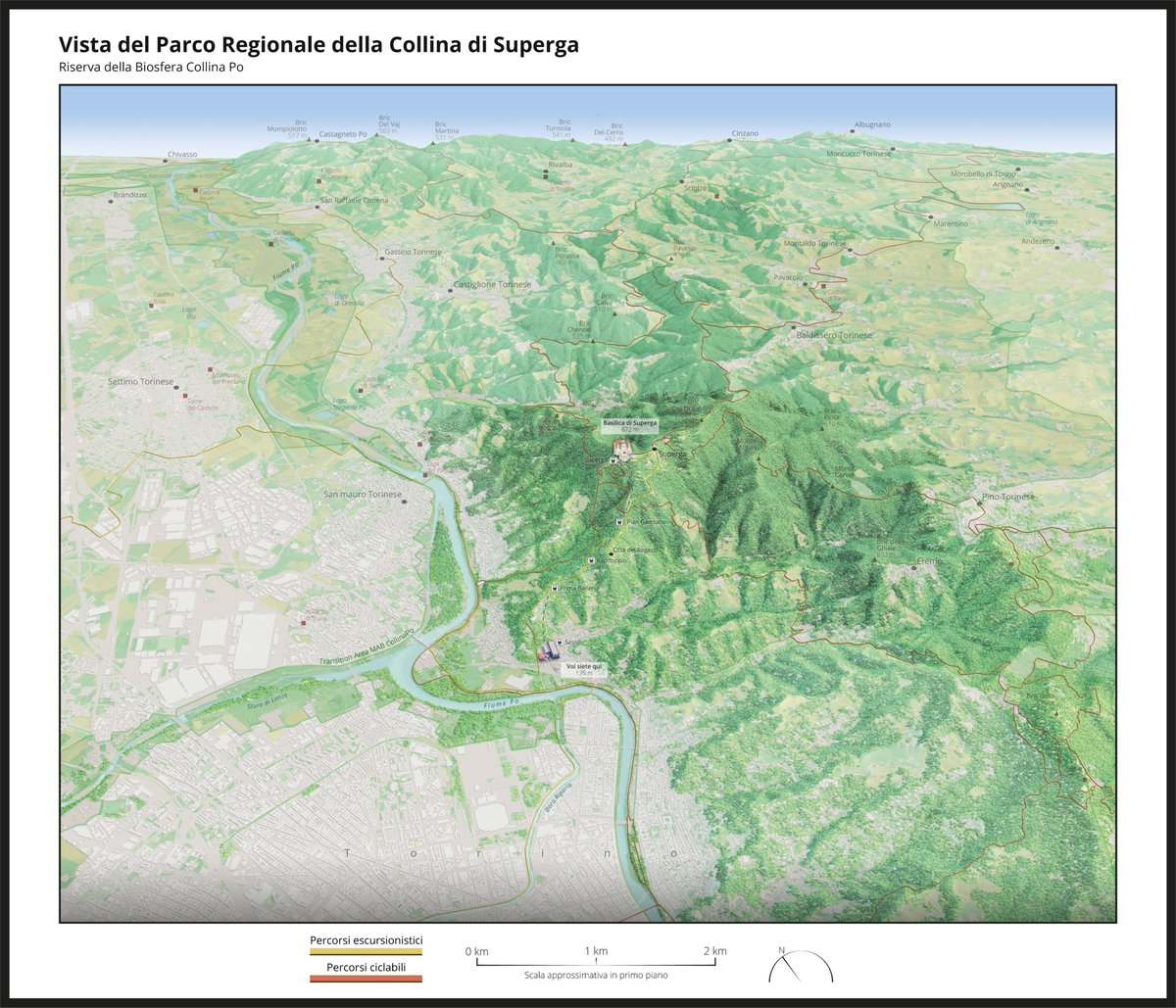
Here we are! One of the 3D #maps I made for my master #thesis is almost complete. The aim of the map is to guide the visitors of the MAB Reserve CollinaPo (#Turin, Italy) from Turin to the Basilica di #Superga.
For the project, I used #QGIS, #Blender, #Photoshop and #Illustrator
Working on a new GIS analysis and map showing population in major Arctic river basins for upcoming study on plastics and Arctic river discharge. @GRIDArendal
A cropland texture created in Photoshop with the Add Noise + Facet filters. The land cover maps in Goode’s World Atlas (1983) inspired this little experiment.