for physical AI to work in the real world, it needs high-fidelity 3D models of the real world.
not just for visualization — for localization, spatial reasoning, and real-to-sim workflows that close the gap between training and deployment.
at @nianticspatial, we're turning @spexigeospatial drone imagery into exactly that — city-scale Gaussian splats grounded in the environments that matter most.
It's World Bicycle Day!
With GEO-PULSE, you can track your ride with centimeter-level positioning and collect $GEOD tokens while you're at it! Get yours quick before they're gone.
Enjoy. 🚲
Get paid to build the future? Yes please. 👀
$GEOD miners earn tokens by hosting GEODNET RTK stations. Every station feeds the centimeter-precision data drones, robots, and other Physical AI systems depend on.
Real infrastructure. Real earnings.
And as the world's largest RTK network, the momentum will only keep growing. 🔥
Follow us.
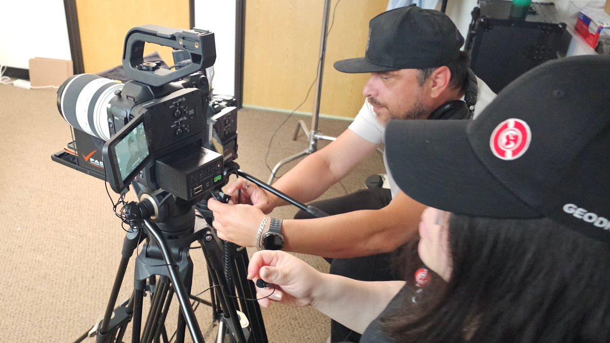
Amazing afternoon recording a pod on the @HyfixAI drone system-on-chip with the amazing @StevenSimoni, host of @DroneUltimatum. Awesome conversation on the future of drones. Stay tuned for the episode to drop!
Remember the famous locomotive splat from 2023? At the time, it was considered impressive. But look how @playcanvas handles a 10M Gaussian scene in 2026:
⏬ Streamed level of detail
🧊 Accurate voxel collision
⚡️ Compute-based WebGPU renderer
⏲️ Near-instant load times
[1 / 4]
🇻🇳 Vietnam’s riders navigate dense traffic, informal addresses and hard-to-find destinations every day. Reliable navigation helps reduce uncertainty and guides them to the final stop.
Explore Vietnam’s two-wheeler trends: https://t.co/pvnDB9cO5M
May closed with a bang. 🔥
Burns dipped mid-month, then snapped back hard - near $170K in the final week alone as $GEOD continues to grow momentum. 20,000+ miners. 80% of revenue burned. Every week.
Why does it matter? The burn isn't speculation. It's real infrastructure, where each miner is doing real work to expand the foundation for drones, robots, and an autonomous future.
Want in? Follow us.
GEO-PULSE is back in stock!
Centimeter-level RTK accuracy for vehicles and fleets, all powered by GEODNET's 19,000+ global correction stations. Easy install, Bluetooth & Wi-Fi ready, free app on iOS & Android.
Never Lost. Always Precise.
Order yours today:
https://t.co/pLokke9ntH
Off-grid in style.
Shoutout to our Discord community member hansxgruber for letting us share how he's collecting $GEOD tokens while contributing to our network.
Want us to shout your base station setup?
👉Comment here or tag us for a retweet
Join our Discord
👉 https://t.co/t4IfEaAfp9
How do you build a 3D map that both humans and robots can use to navigate?
Our CTO Brian McClendon joined Jacob Goldstein on @pushkinpods' What's Your Problem? to talk about how Niantic Spatial is teaching AI to understand the physical world.
🎧https://t.co/JxQDuXLHw2
#NianticSpatial #PhysicalAI #GeospatialAI #AI #Robotics
Big things are brewing at GEODNET. 👀
Want to see how the largest RTK Network in the world is laying the foundation for the future of Physical AI with centimeter-precision?
Follow and stay tuned . . .
Already running Trimble hardware?
Our new walkthrough get's you setup in under 10 minutes
• Keep your R12i + TSC 5
• Connect to GEODNET's RTK network
• cm-level accuracy, global coverage
Same gear + the largest RTK network in the world.
Want to get started with GEODNET RTK?
👉Sign up for a 30-day free trial: https://t.co/pSQwCjOeqt
Most AI-generated worlds are optimized to look realistic. But physical AI systems operating in the real world need something much harder: geometry that is physically consistent, spatially accurate, and grounded to real-world coordinates.
Our latest Ground Truth blog breaks down how Niantic Spatial reconstructs georeferenced 3D environments from off-the-shelf drones, phones, and 360° imagery — solving depth, alignment, and surface consistency at scale.
🔗Read more: https://t.co/LWx2TXOjAA
#NianticSpatial #Spexi #PhysicalAI #Reconstruction #GaussianSplat #DigitalTwins #Robotics #GeospatialAI #AI #GeospatialIntelligence #GEOINT #SpatialIntelligence
Physical AI needs to know where it is—down to the centimeter.
At Consensus Miami 2026 earlier this month, we made the case that decentralized positioning infrastructure isn't a nice-to-have. It's the foundation.
Building the location layer for the autonomous future. 🌐
#Consensus2026
In-context learning suggests that a model has learned versatile representations. What if we use in-context learning itself as a training task for visual representations?
📣 Introducing 𝗟𝗜𝗟𝗔: 𝗟𝗶𝗻𝗲𝗮𝗿 𝗜𝗻-𝗖𝗼𝗻𝘁𝗲𝘅𝘁 𝗟𝗲𝗮𝗿𝗻𝗶𝗻𝗴 ✨ @CVPR 2026 Oral ✨
𝗟𝗜𝗟𝗔 trains on videos without manual annotation.
Key idea: An optimal linear mapping that predicts dense cues (e.g. depth, flow), estimated on one video frame, should also predict the corresponding cues of another frame from the same video.
This yields compelling results on dense vision tasks: video object segmentation, (zero-shot) semantic segmentation and surface normal estimation.
Paper, code, models and demo: https://t.co/Xn2SgskKQ8
Joint work with @ma_sundermeyer, Hidenobu Matsuki, David Joseph Tan and @fedassa (and special thanks to David and Federico for hosting my research visit at Google).
#cvpr2026 @Google@MunichCenterML@tumcvg@TU_Muenchen
A drone can't pay $2,000/month in tokens, a robot can't wait 400ms for an API call, physical AI will run on @HyfixAI chips and connect to purpose built precision real-time infra @GEODNET.
The next decade gets built on the decentralized edge, not the data center.
Mining has already massively adopted autonomy. Farming is around the corner. Millions of these machines will be produced by 2030.
One thing wrong in the post is Beidou by itself does not provide cm level precision. @GEODNET does.