🍷🪲 From changes in wine characteristics to the distribution of pests, #ClimateChange is creating multiple challenges for #agriculture.
Find out what happened when #C3S Director @carlo_tuitter joined a @euronews#ClimateNow discussion on the topic!
➡️ https://t.co/eZDH84kF6B
#interview | @rakeshverma1950, @MapmyIndia (MMI) underlines that the future of the country’s thriving economy depends on the robust #geospatial policy & MMI is at the forefront to ensure support to government agencies to capitalize on geospatial potential. https://t.co/z8YSe86tdc
Last Saturday marked the 50th anniversary of the first Landsat launch in 1972. The senate introduced Resolution 721 to honor Landsat’s contribution to science, imagery, & humanity in addition to designating July 23, 2022 as “Landsaturday.”
Read it here: https://t.co/0s1chng44D
Happening today at 10am PT! 📢
Join me and Christiaan to learn about #GOES data in #EarthEngine. We'll be answering questions via chat while a pre-recorded video on GOES animations is shown.
E.g., code for hurricane #Ida time-lapse: https://t.co/FjVDwObPW0
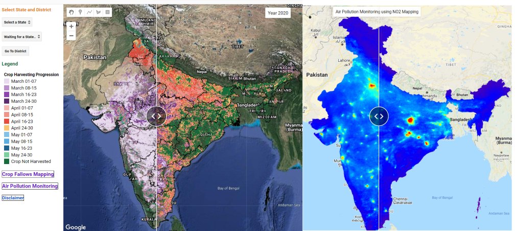
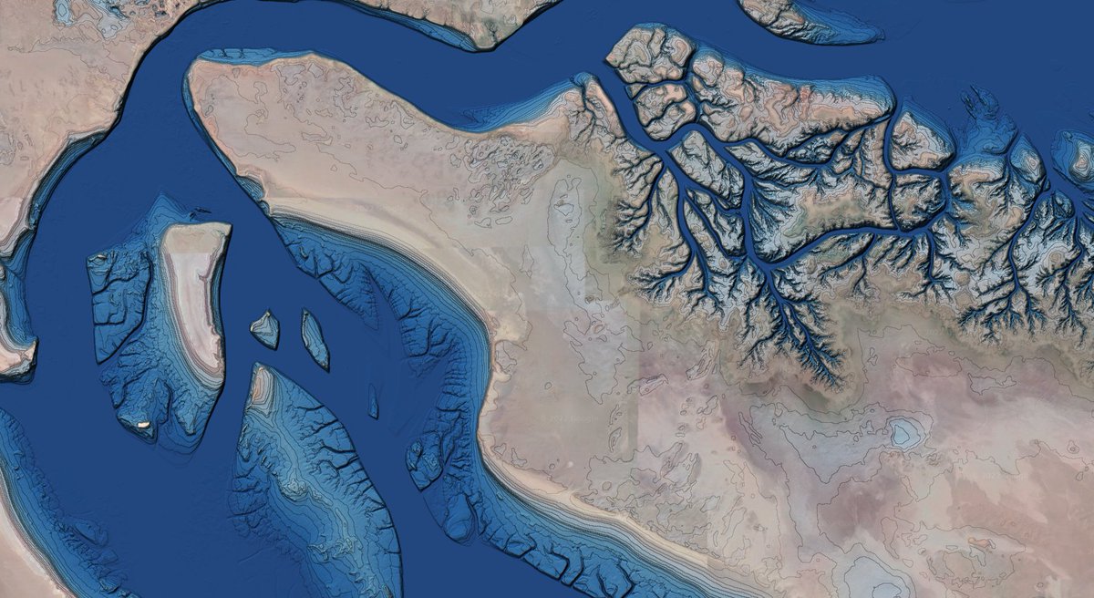
NICFAI's high-resolution satellite imagery (Planet) available for analysis in GEE
#GoogleEarthEngine#GEE#Forest#remotesensing
Please visit to learn more:
https://t.co/CFA1oNxXs3
So happy to see this! Great work @dmlmont! 🎉
Hey y'all check out #eemont to cut out a lot of lines of code for processing #Landsat, #Sentinel2, and many other datasets in #EarthEngine#Python
🌎✂️😎
https://t.co/TJyaXfqc7v
We are about to announce #ipygany, a @ProjectJupyter widget for Scientific Visualization and 3D data analysis.
https://t.co/L1qkg790Lq
Here, a warp-by-scalar effect (just like in #Paraview) running smoothly in Binder thanks to the GPU:
https://t.co/71CXKC3Ux1