إذا أردت التمكن من نظم المعلومات الجغرافية لا تبدأ بالتفكير في الأداة ... بل حاول تطوير مهارة التفكير الجغرافي المكاني ... فكر في السؤال والمشكلة أولا ... يعني اطرح على نفسك الأسئلة التالية: ما المشكلة التي تحاول حلها؟ ما البيانات المتوفرة لديك؟ وما الذي ينقصك لتصل لإجابة؟
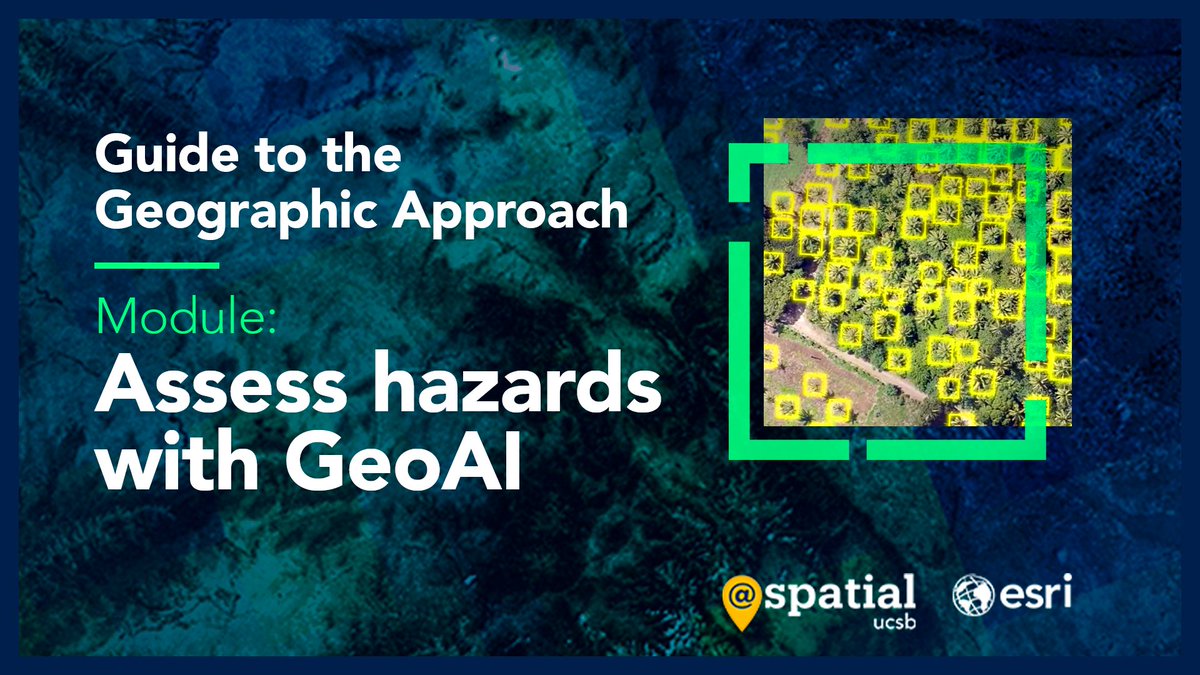
In this UCSB Guide you can assess hazards with GeoAI 🚧 🗺️ Try the module to use deep learning to analyze flood and landslide risks: https://t.co/Zod6Npd10s
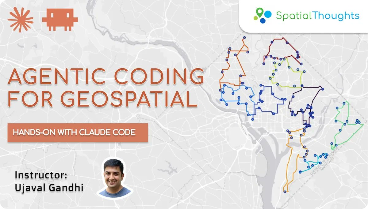
One of the hardest things I did over the past few months was to build a course to teach agentic coding techniques for geospatial problems. After endless hours of testing, refining, and writing, the full course is now launched - free and open to everyone➡️https://t.co/UrnRbYHchB
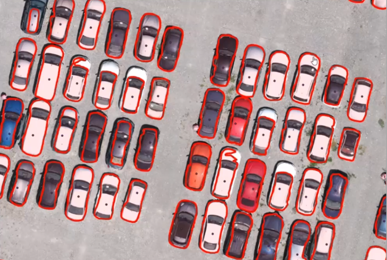
Learn to efficiently automate, predict, and optimize your geospatial work with the first book that teaches how to implement AI across GIS 🌐
“Exploring GeoAI” is available this fall. Want to know more? Access the TOC & sample pages here: https://t.co/J48RLskfSN
نقلا عن د. محمد الأنصاري: مقطع يشرح كيف تحول أي فيديو يوتيوب إلى نص مكتوب وخريطة ذهنية باستخدام أداة https://t.co/Gu6Q0YQt8H
في ثوانٍ وبالمجان:
https://t.co/zOz4UGYIBd
بالتوفيق بمشيئة الله
بحث جديد 2026 بالانجليزية عن: الربط بين الضعف والمخاطر لتقييم آثار الفيضانات باستخدام نظم المعلومات الجغرافية:
Linking Vulnerability and Risk for Flood Assessment:
https://t.co/WW9M7GkZmk
بالتوفيق بمشيئة الله
Air Quality Monitoring Dashboard using Google Earth Engine. Tutorial link is attached in the comment
🚨 Only a Few Seats Left! Registration Closing Soon!
🔗 Registration:
https://t.co/O4AcVIerFn
📧 Email:
[email protected]#googleearthengine#GIS#remotesensing
🌍 Another Publication
Also thrilled to share our second paper, published in Environmental Modelling & Software
📄 "Weight-Level Integration of SHAP-Interpreted Machine Learning and AHP for Flood Susceptibility Mapping in a Semi-Arid Region"
Full paper:
👉 https://t.co/ej2VMxsHCz
🌍 New Publication Alert!
Thrilled to share our latest work, now published in the Journal of the Indian Society of Remote Sensing (Springer)!
📄 "Feature-Based Evaluation of ML and DNN Models for LULC Mapping in Semi-Arid Regions"
📌 Full paper:
👉 https://t.co/ywixv9BIOM
📣Great training opportunity for early career space + Earth scientists from Africa. Applications due June 19.
➡️https://t.co/r9KTkVAxIz
@AfSA_AU@esa@Terefe33566761
Keep your head in the cloud! Learn the foundational skills and benefits of ArcGIS Online with this free course. ☁️🌎
Get started: https://t.co/4YhluVyO5D
#GIS#ArcGIS @ArcGISOnline
فيديو جديد على قناتنا على اليوتيوب حاولت تقديم فيه بعض الأمثلة العملية حول الإستشعار عن بعد والذكاء الإصطناعي ... يمكنكم مشاهدة الفيديو عبر الرابط التالي:
https://t.co/2CNsU0LKdb
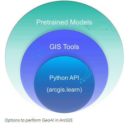
Ready to bridge the gap between AI and GIS? 🌍🤖
Check out this guide for students getting started with #GeoAI in ArcGIS. From using pretrained models to custom Python workflows, here is how to begin:
Read more: https://t.co/P992mJ3KGl
#ArcGIS#DeepLearning#GIS#Esri
🚀Big news! The @gw_project community is invited to participate in a series of FREE training courses offered by @NASA ARSET!🛰️
Learn to use satellite data for aquifer tracking and water management🌍
📚EN&ES ✅Free & Online
https://t.co/KT9sfCxqhY
#NASA#Groundwater#RemoteSensing
I am excited to introduce OpenGeoAgent, a powerful open-source multimodal AI agent for automated geospatial analysis and visualization!
It supports QGIS, Jupyter notebook, and Python scripting. In this tutorial, you’ll learn how to automate GIS workflows using natural language, generate maps, analyze satellite data, and even run complex hydrological models.
You can even interact with the agent using voice commands (no typing needed).
Video: https://t.co/mJ0ort5dzb
GitHub: https://t.co/WgiWV1wGMS
QGIS Plugin: https://t.co/qNRP3WPJWe
#geospatial #GeoAgent #OpenSource #AI