We are a market leader in offering Geo spatial services. Our niche cuts across GIS/RS services, Web-mapping, Urban planning, Land Survey, among other Services.
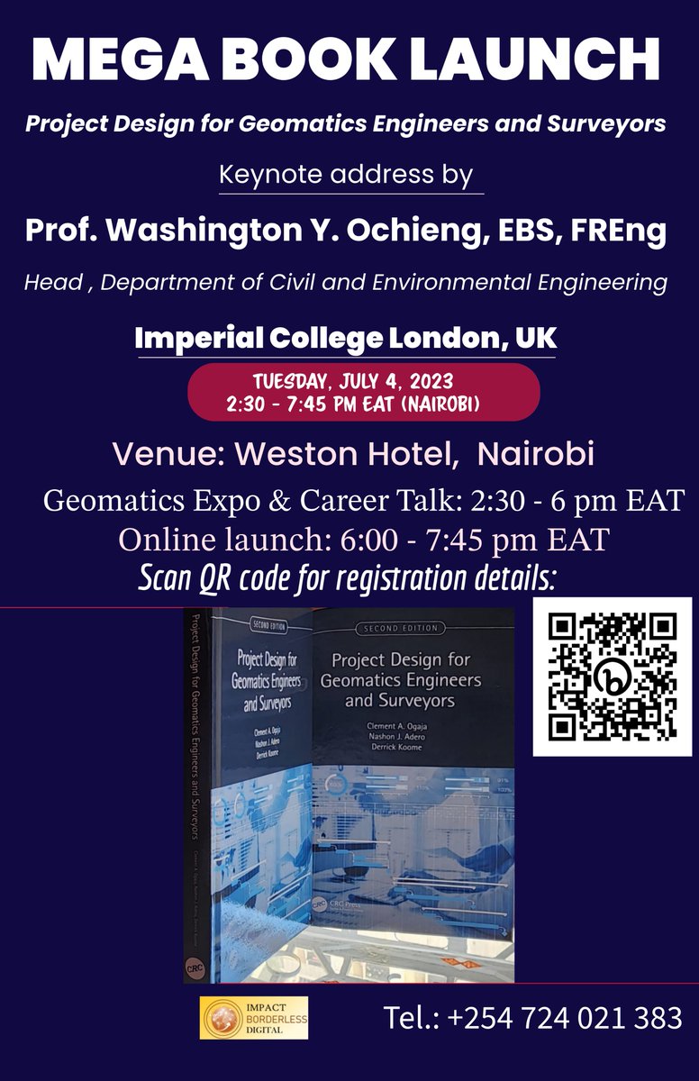
Mega #Geomatics#Book Launch Nairobi/London on July 4, 2023. Event is real & confirmed! Be there! In-person for discounted prices, autographed copies and/or join online, interact with keynote speaker, panel & plenary discussion. Scan to register & pay. Authors @ClementOgaja et al
Joachim Tamaro, Dr. Patrick Lumumba Saisi former Deputy Governor vihiga, Benard Nyamwaro, Rogers Amisi Secretary KenInvest, Evans Kipngetich CEO @iMAPIntlKE, @jackanyuro meeting at @KenInvest on renewable Green Energy and potential opportunities.
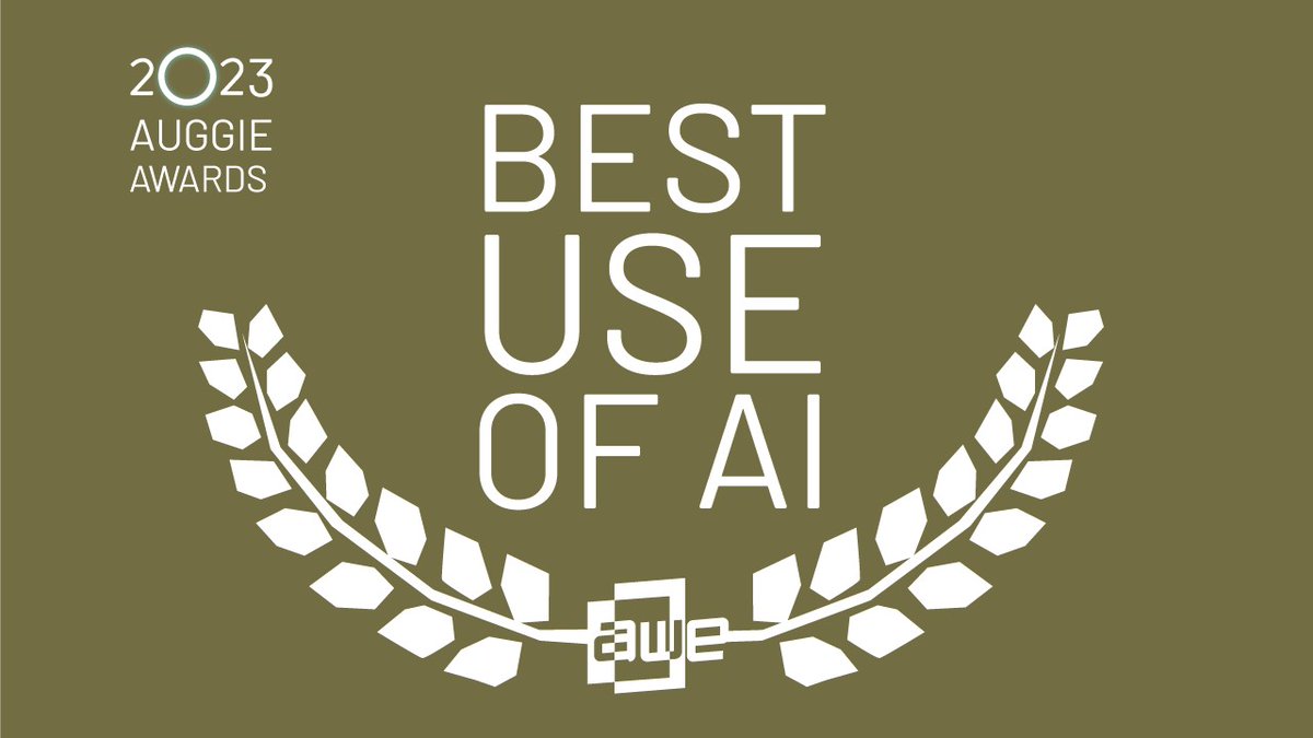
We’ve been nominated for an Auggie Award in the category “Best Use of AI” for our SYNTH3D high-performance, geotypical 3D representation of the planet.
Public voting is open through May 4th. Place your vote today. https://t.co/e9nT3kyIV3
#AI#AR#VR#3D
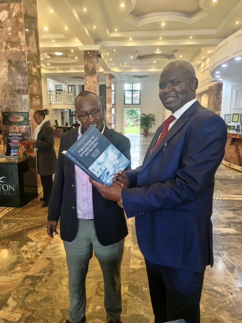
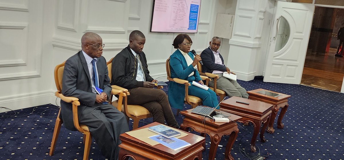
#MondayMotivation: Interest building among Kenyan #surveyors in new practice-oriented #Geomatics book co-authored by @uonbi alumni. Co-author @hopadero presenting @pauldatche advance copy, ahead of official release on March 23. Read next post for more on ordering your copy.
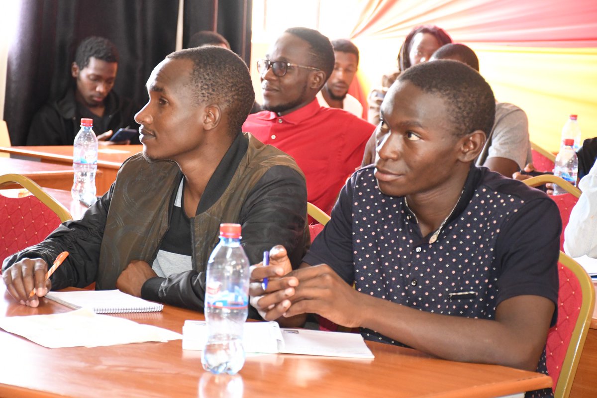
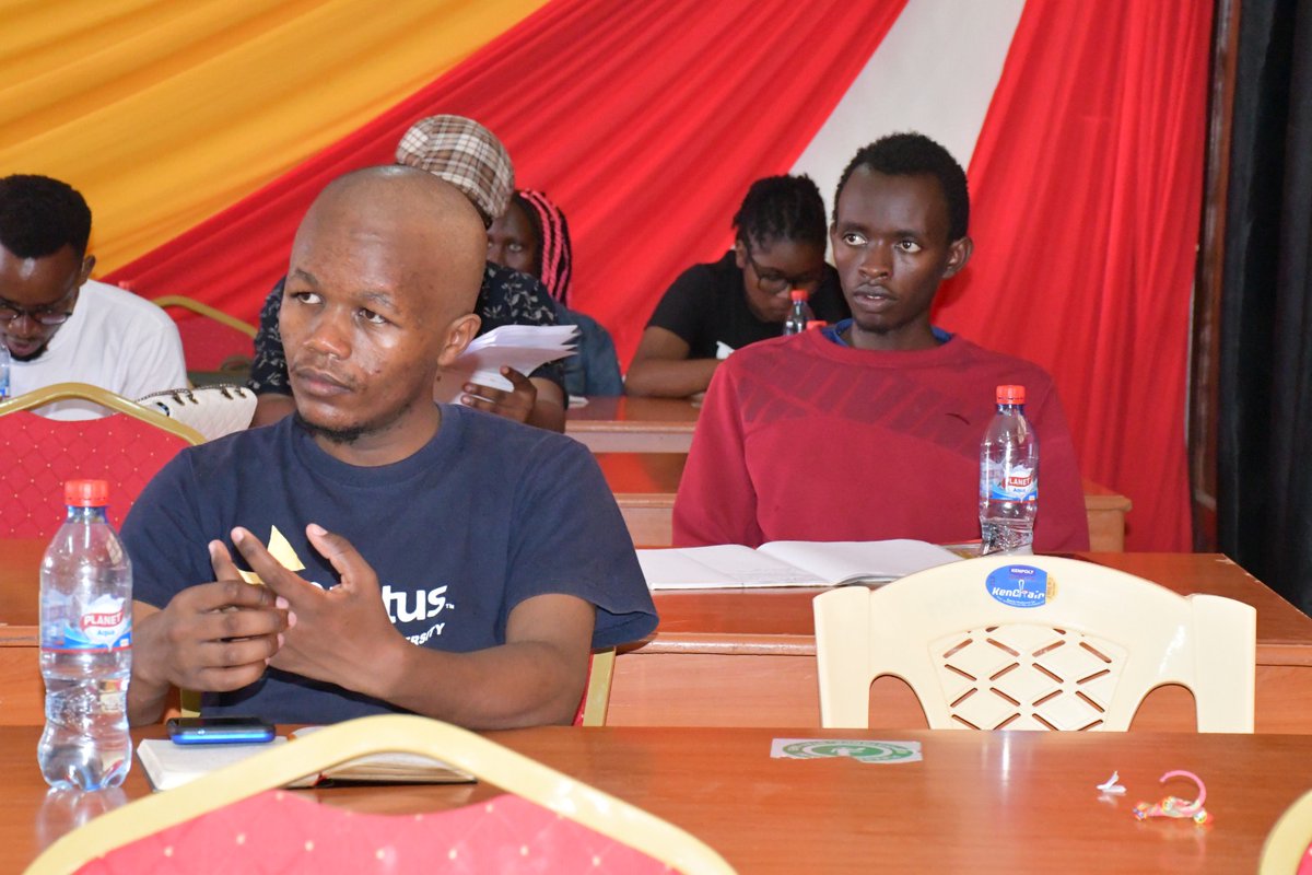
#Enactus Open Day at @TaitaTavetauniv on March 10, 2023. Curious attendees from the community of alumni, faculty and guest speakers showed a genuine commitment to handling the freedom of thought with innovative responsibility to promote shared prosperity in a sustainable world.
Image Processing in Python #2
✅ Rotating Images using skimage
All the images do not come in the same orientation and we want to rotate them before sending them to Machine Learning models.
In this thread, we will see how we can rotate images using Python.
A Thread 🧵 👇
Every day I share Python, Data Science, and ML content.
Follow me @itsafiz if you don't want to miss it.
Like and RT the first tweet in this thread to share with your friends.
Cheers 🥂
https://t.co/Go5XVKKUv6
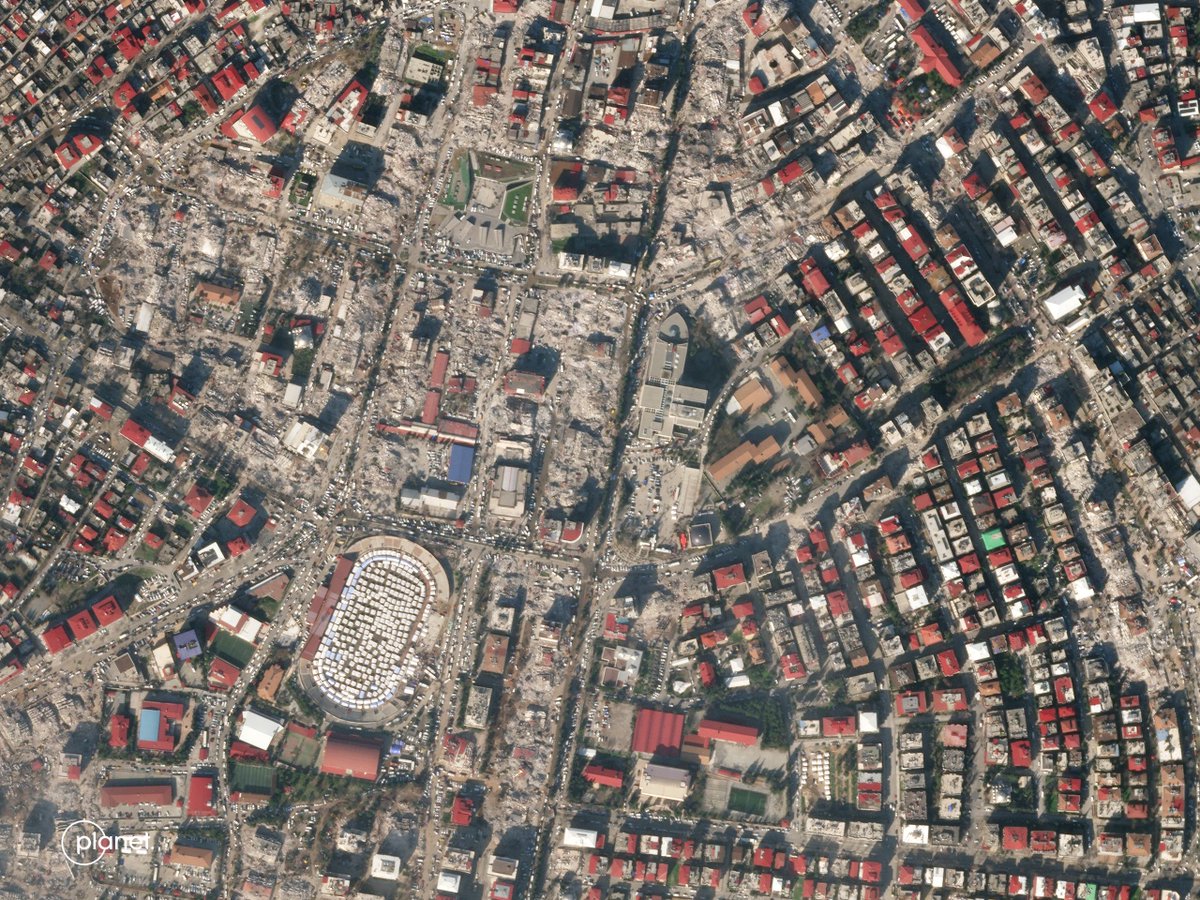
New AI-powered #satelliteimagery building damage assessment of first three days post #earthquake in #Turkey. We continue to work with partners to provide data to early responders.
Sharing what we've learned so far: https://t.co/sTUg1dB4nk
Full MAP of Kileleshwa Ward with the LR numbers (zoom in) of every plot in the entire ward https://t.co/UW7UqrUbkc
We must be open and transparent. Now let’s identify grabbed public land.
@SakajaJohnson
The revolution in maps is here. Discover UniMap, which will change the way maps are created, updated and used. https://t.co/65uFZPgHTn
#Mapping#TransformationalTech
#30daymapchallenge
November 2022
Day 20: " My favorite map"
The map I made using machine learning in 2021 to predict the future growth of Nairobi to 2030. It's my favorite since it has a big message. That if we continue with the trend Nairobi will only get worse