jofer at o c t o don social Geology to Software to Remote sensing. Opinions and poor taste my own. He/Him. This account is all dog pictures and mindless prattle
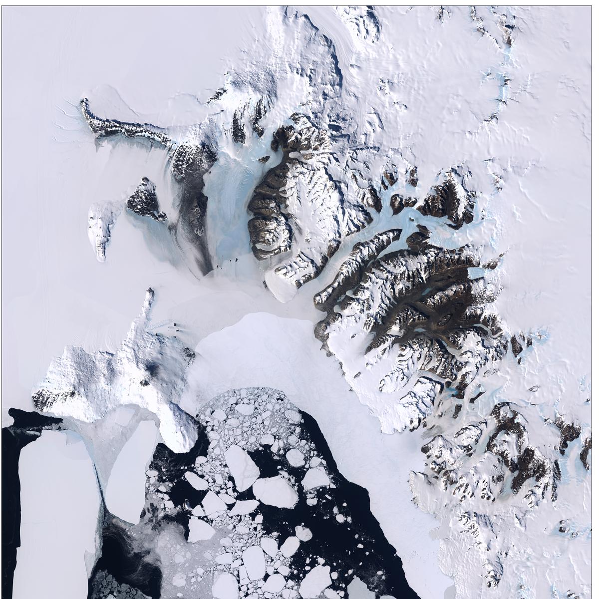
After more than 132,000 trips around the Earth and more than 3.3 million satellite images under its belt, the work of the Landsat 7 satellite is complete! 🌎 🛰️
Interested in preforming analysis on NICFI mosaic data without GEE or needing to download? You can use full-bit-depth streaming to treat each dataset like it's one giant local file and easily access what you need at multiple scales. See https://t.co/QAsOinmv7v as an example.
And if folks are wondering, "why not use COG and STAC?" the answer is that that approach becomes very inefficient for large, regularly-tiled datasets. There's a talk I gave a few years ago on where COG+STAC breaks down here: https://t.co/24MlFFJ1Sp
What that means is that you can use the data exactly like it was one local file and still get the full underlying analytic values (e.g. 16 bit SR values) for analysis or visualization in QGIS, ArcGIS, your python script, or any other gdal-based tool.
More examples will hopefully be added to Planet's public repos soon, but you can see an example of some relatively detailed analysis mapping the Park Fire extent using this streaming protocol here: https://t.co/Ufdunvxo7w
Exciting news! It's been fully-usable in production for many years, but we finally received approval to publicly document the full-bit-depth streaming capabilities of Planet's Basemaps product: https://t.co/O0n6dIovbr
There’s a wealth of scientific data trapped in data formats that can be tricky to read. The latest entry in my Gentle Introduction to GDAL series explains how to access data in NetCDF, HDF, & GRIB.
https://t.co/375c7MpxH4
#cartography#climate#dataviz 📊
Apropos nothing, I saw Adeem the Artist the other day. They put on a damn good show! It's good to see country and alt-country that doesn't paint all of us with an accent into some uniform monolith. Also, "cast iron pansexual" has to be the best album name in a long time!
@RicardoDalagnol See the addendum to the technical specs for more details. At any rate, you're seeing the results of the phenology removal, not real change. Nicfi data is not in any way a scientific data product. It's a single use case dataset that is incredibly dangerous to use.
@RicardoDalagnol For what it's worth, the nicfi data deliberately (at the program's request) tries to remove phenology as much as possible and forces a biannual model onto the data. That's what you're seeing. It's meant to make deforestation detection easier, but it wrecks most analysis.
@mouthofmorrison@SpaceMentges There's a lot of budget for commercial remote sensing data in civil government. Not as much as defence, but it's quite substantial. I'm not sure if that's true for SAR, though.
@mouthofmorrison@SpaceMentges NASA, USDA, and others also buy quite a bit of commercial remote sensing data. E.g. https://t.co/zVBiOgzYNy
Anecdotally, I've spent a lot of time on data projects for civil government in a ton of different countries over the past several years, though I can't give specifics.
Saddened to hear about the @planet layoffs, they have a lot of really talented people. If anyone is looking for a new place. Feel free to reach out! Also if you are in Imaging, my team is hiring: https://t.co/YjhAuLgOVl