[9:47 PM] The severe threat will be much lower overnight, but additional storms upstream across Illinois/Indiana are expected to develop and move SE. Coverage in these storms expected to increase after midnight, particularly near the Tristate. Flooding is the primary concern.
@daydenjaniels5@xianizradx@ryanhallyall JFK said "Ask not what your country can do for you. Ask what you can do for your country."
Step up to the plate and give NWS some tanigible help. Funding is, contrary to public perception, everything.
Incredible, generational windbag in Hobart, IN with wind gusts probably exceeding 120mph. Worst storm I’ve ever experienced, and extensive damage. Got inside right as tree snapped, audio is remarkable, and last vid has a POOL flying by.
@NWSChicago
It's hitting the house!
The 80 mph winds have officially reached the Weather House here in Pikeville, Kentucky. Y'all please stay away from windows and get to your safe spot right now.
Crew from @ODOT_Cincinnati pushing a large tree off I-71 southbound at the 7.1 mile marker north of downtown Cincinnati. Check https://t.co/y2mdfitzGi for updated travel information.
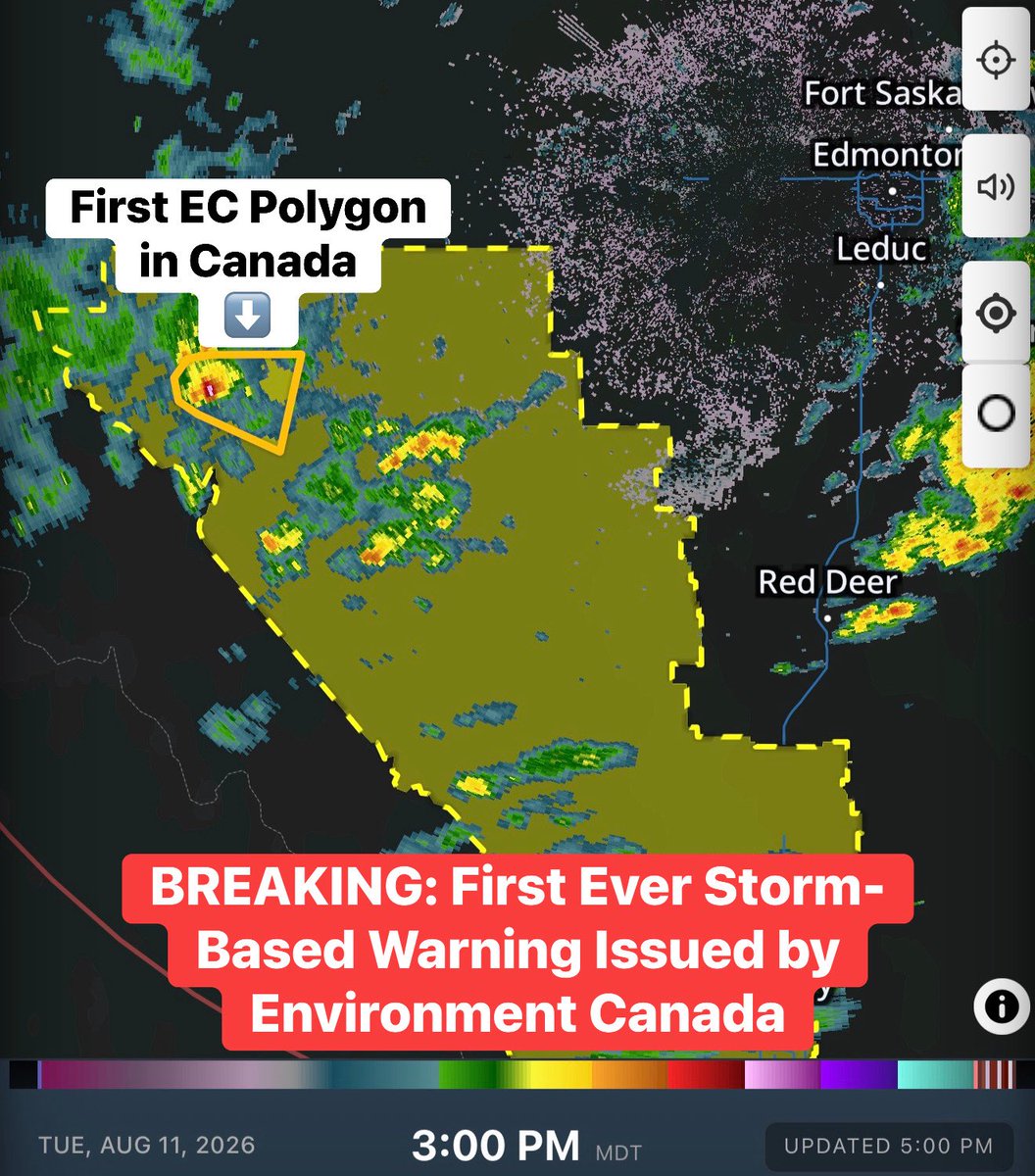
🎶 It’s a polygon time! 🎶
The FIRST EVER storm-based warning in Canada has just been issued by Environment Canada.
And the winner is… Alberta!
Isn’t it beautiful? 😍
Welcome to the 21st century, Environment Canada!
- Brennen